
Navigation, Mapmaking, and Latitude Thomas
Description
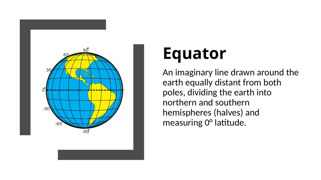
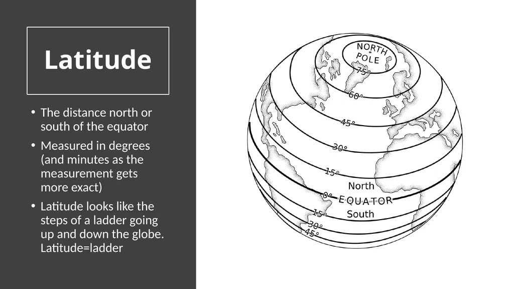
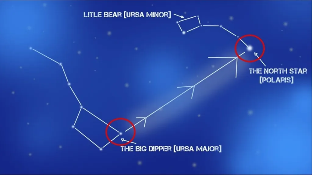
Navigation, Mapmaking, and Latitude Thomas Jeffersons Instructions Equator An imaginary line drawn around the earth equally distant from both poles, dividing the earth into northern and southern hemispheres (halves) and measuring 0
Related Topics
Download this presentation From Below
"Navigation, Mapmaking, and Latitude Thomas" is the property of its rightful owner. Permission is granted to download and print the materials on this website for personal, non-commercial use only, and to display it on your personal computer provided you do not modify the materials and that you retain all copyright notices contained in the materials. By downloading content from our website, you accept the terms of this agreement.