PDF-Flood Modeling
of Jemo River Catchement in Addis Ababa City EthiopiaGetnet Adugna1 a1Masters Student at Department of Civil Engineering College of Architecture and Civil EngineeringAddis
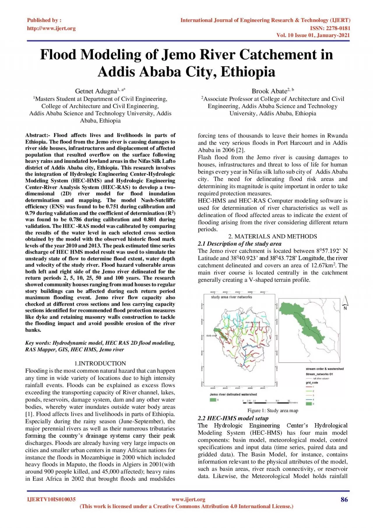
Download Presentation
"Flood Modeling" is the property of its rightful owner. Permission is granted to download and print materials on this website for personal, non-commercial use only, provided you retain all copyright notices. By downloading content from our website, you accept the terms of this agreement.
Presentation Transcript
Transcript not available.