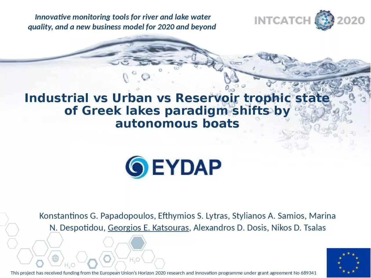
Konstantinos G Papadopoulos Efthymios S Lytras Stylianos A Samios Marina N Despotidou Georgios E Katsouras Alexandros D Dosis Nikos D Tsalas 2 Definition of Trophic State ID: 811399
Download The PPT/PDF document "Industrial vs Urban vs Reservoir trophic..." is the property of its rightful owner. Permission is granted to download and print the materials on this web site for personal, non-commercial use only, and to display it on your personal computer provided you do not modify the materials and that you retain all copyright notices contained in the materials. By downloading content from our website, you accept the terms of this agreement.
Slide1
Industrial vs Urban vs Reservoir trophic state of Greek lakes paradigm shifts by autonomous boats
Konstantinos G. Papadopoulos, Efthymios S. Lytras, Stylianos A. Samios, Marina N. Despotidou, Georgios E. Katsouras, Alexandros D. Dosis, Nikos D. Tsalas
Slide22
Definition of Trophic StateTrophic states are based on lake fertility:“Trophy” means nutrients (Phosphorus and Nitrogen)More nutrients means more plants and algae
More plants and algae means phytoplankton biomass
An indicator of phytoplankton biomass is Chlorophyll
Chlorophyll
a (Chl-a), is the major light-harvesting pigment and appears in all photosynthetic organisms
*Trophic statusMean (μg chl-a l−1)Max. (μg chl-a l−1)Oligotrophic< 2.5< 8Mesotrophic2.5–88–25Eutrophic> 8> 25
*
Organization for Economic Cooperation and Development (OECD), 2009
Slide33
INTCATCH Tools used to Define a Trophic State of a LakeBiological and Physicochemical monitoring with specific & typical sensors
Chlorophyll a
Type: Cyclops 7 sensor
Detection limit: 0.3
μ
g/lRange: 0 - 500 μg/lConductivity Dissolved Oxygen & TemperaturepH
Slide44
Demonstration activities to Greek LakesPamvotis Urban Natural LakeMarathon Reservoir LakeDoxa ReservoirLakeYliki ReservoirNaturalLakeKoumoundourou Industrial/UrbanNaturalLake
Slide55
Yliki Lake
natural/reservoir Lake since 1959 – 78 m above sea level
mean surface area 24.5 km2 – operational volume 590 million m3
supplies water city of Athens
protected by EU & National Legislation (WFD, Natura 2000, 91/271 etc.)
Slide66
8 campaigns during Feb - May 2019Threshold of around 10μg/l of
chl
-a
Mean value: < 5μg/l , Range 0.2 – 50
μg/l
Slide7Marathon Lake
7Reservoir Lake since 1931 – 173 m above sea levelmean surface area 2.45 km2 – operational volume 34 million m3supplies water city of Athens connected with Yliki
a
nd
Mornos
Slide8Marathon Lake
8
Campaign during June 2019
Threshold of around 3μg/l of
chl
-aMean value: 2.6 μg/l , Range 1.5 – 4.2 μg
/l
Slide9Marathon Lake
9
Dissolved Oxygen
Mean value: 9.2
μg
/l , Range 9.0 – 9.5
μg/lDecrease of DO due to T increasingTemperatureMean value: 26.4 ⁰C Range 25.5 – 28.0 ⁰CSignificant increasing during a sunny day
Slide1010
Marathon Lake
pH:
stable with
mean value: 8.
8Conductivity: Mean value: 347 μS/cm Range 340 – 355 μS/cm
Slide1111
Koumoundourou Lake
Ancient Lake - west of Athens within an industrial area:
1m higher than the surface of the sea
Marine and freshwater from underground sources are mixed
Campaign on May 2019
Mean value: 12 μg/l Range 10 – 17,5 μg/l Higher values on the northwest part due to:a) flow of water from underground sources b) circulation of the water
Slide12Koumoundourou
Lake 12
Conductivity:
Mean value: 3000
μS
/cm Range 2800 – 3050 μS/cm
Higher values on the northwest part due to:a) flow of water from underground sources mixed with seawater
Slide13Koumoundourou Lake
13
Dissolved Oxygen
Mean value: 11.2
μg
/l
Range 10.5 – 11.7 μg/l TemperatureMean value: 26.4 ⁰C Range 25.5 – 28.0 ⁰C
Slide14Koumoundourou Lake
14
pH,
mean value: 8.7
stable except an evidence of
flow of water from underground sources
Slide1515
Pamvotis Lake
Ancient Lake - one of the oldest lakes worldwide (~7 million
yrs
) and the second oldest at European level:
480m higher than the surface of the sea in North Greece
mean surface area 22km2 – volume 120 million m3Mean depth 5.5m – maximum 11m Urban and agricultural sources (farmlands, small fishing and boating ports)
Slide1616
Pamvotis Lake
Campaign during July 2019, four stations, more than 25 km of boat deployment
Threshold of around 45μg/l of
chl
-a (Nitas
etal, 2010)Mean value chl-a: 7.0 μg/l , Range 3.0 – 17.5 μg/l S4S2Station S2 – Mesotrophic :Around a centre of radius 200m, observed three different areas of chl-a distribution
Station S4 - Eutrophic:
Gradual increasing of
chl
-a close to the inputs of the lake
Slide1717
Pamvotis Lake
Station S1 - Eutrophic
: Mean value: 10.0
μg
/l , Range 7.0 – 17.5
μg/lS1S3Station S3 - Mesotophic: Mean value: 5.0 μg/l Range 4.0 – 7.0 μg/l
Slide1818
Doxa Lake
Artificial Lake since 1996 - surrounded by pine forests
900m higher than the surface of the sea
mean surface area 0.5km2 –Mean depth 15m – maximum 35m
fed and drained by the small river
Doxa Outdoor leisure activities (hiking, triathlon races etc.)
Slide1919
Doxa Lake
Campaign in July 2019, during a triathlon event
Mean value
chl
-a: 2.0
μg/l , Range 1.5 – 3.0 μg/l
Slide20INTCATCH tools and classification in Trophic State
20Yliki Lake: Mesotrophic
Slide2121
Marathon Reservoir LakeKoumoundourou Industrial Natural LakeDoxa Reservoir LakeINTCATCH tools and classification in Trophic State Mesotrophic
Oligotrophic
Eutrophic
Slide2222
Pamvotis Lake: Mesotrophic to EutrophicINTCATCH tools and classification in Trophic State
Slide2323
INTCATCH boats occupied with chl-a sensor combined by typical sensors indicating possible powerful tools, assessing the trophic state of a Lake (suggested by OECD)Reservoir Lakes are classified as oligotrophic to mesotrophicUrban Lakes are classified as mesotrophic to eutrophicIndustrial Lake is classified as eutrophic Determination of spatial distribution of water quality data (e.g. chl-a,) by INTCATCH tools could give an early and thorough information that will contribute to an innovative monitoring strategyConclusions on trophic state of Greek lakes with INTCATCH boats
Slide2424
Thank you!