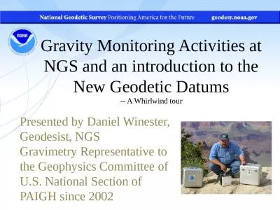
PPT-Supporting an Accessible Geodetic Control Network for Cali
Author : kittie-lecroy | Published Date : 2016-04-11
Presented by The California GIS Councils Geodetic Control Work Group CGWG A Growing Concern for the Geospatial Land Surveying and Mapping Communities Presentation
Presentation Embed Code
Download Presentation
Download Presentation The PPT/PDF document "Supporting an Accessible Geodetic Contro..." is the property of its rightful owner. Permission is granted to download and print the materials on this website for personal, non-commercial use only, and to display it on your personal computer provided you do not modify the materials and that you retain all copyright notices contained in the materials. By downloading content from our website, you accept the terms of this agreement.
Supporting an Accessible Geodetic Control Network for Cali: Transcript
Download Rules Of Document
"Supporting an Accessible Geodetic Control Network for Cali"The content belongs to its owner. You may download and print it for personal use, without modification, and keep all copyright notices. By downloading, you agree to these terms.
Related Documents