/
Mansfield Mansfield

Mansfield - PDF document

melody
melody . @melody
Follow
342 views
Uploaded On 2022-08-27

Mansfield - PPT Presentation

1 AEP Flood Mapping Project June 2014 
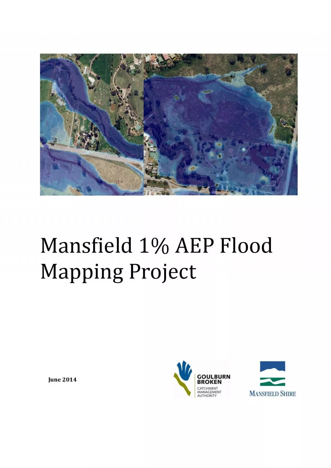
Mansfield 1 AEP Flood Mapping Page i Goulburn Broken Catchment Management Authority 168 Welsford Street PO Box 1752 Shepparton VIC 3632 T 03 5820 1100 F ID: 942439

mansfield flood creek ford flood mansfield ford creek table mapping hydraulic study figure tributaries area aep model flooding south

Share:

Link:

Embed:

Download Presentation from below link

Download Pdf The PPT/PDF document "Mansfield" is the property of its rightful owner. Permission is granted to download and print the materials on this web site for personal, non-commercial use only, and to display it on your personal computer provided you do not modify the materials and that you retain all copyright notices contained in the materials. By downloading content from our website, you accept the terms of this agreement.


Presentation Transcript

Mansfield 1% AEP Flood Mapping Project June 2014 Mansfield 1% AEP Flood Mapping Page i Goulburn Broken Catchment Management Authority 168 Welsford Street PO Box 1752 Shepparton, VIC 3632 T: 03 5820 1100 F: 03 5831 6254 E: info@gbcma.vic.gov.au www.gbcma.vic.gov.au Mansfield 1% AE

P Flood Mapping Page ii ‘–‡–• 1 INTRODUCTION ................................ ................................ ................................ .......................... 1 1.1 Bac kground ................................ ................................ .....................

........... ................................ ................... 1 1.1.1 Description ................................ ................................ ................................ ................................ .......... 1 1.1.2 Previous work ................................ ................................ ...........................

..... ................................ .... 1 1.1.3 Requireme nt for current study ................................ ................................ ................................ ... 1 1.2 Current study ................................ ................................ ................................ ................................ .....

.......... 3 1.2.1 Objectives ................................ ................................ ................................ ................................ ............ 3 1.2.2 Scope ................................ ................................ ................................ ................................ ......................

3 1.2.3 Hydraulic modelling ................................ ................................ ................................ ........................ 3 2 HYDROLOGY ................................ ................................ ................................ ................................ 4 2.1 Ford Creek ...................

............. ................................ ................................ ................................ ..................... 4 2.2 South eastern tributaries ................................ ................................ ................................ ........................ 6 3 HYDRAULIC MODEL DEVE LOPMENT ...................

............. ................................ ............... 15 3 .1 Geometry of the hydraulic model ................................ ................................ ................................ ..... 15 3.2 Hydraulic boundary conditions ................................ ................................ ................................

........ 15 3.3 Grid size ................................ ................................ ................................ ................................ ...................... 15 3.4 Invert of the creek ................................ ................................ ................................ ................................ ..

. 15 3.5 Bridges and culverts ................................ ................................ ................................ .............................. 16 3.5.1 Validation of bridges ................................ ................................ ................................ .................... 19 4 CALIBRATION .......

......................... ................................ ................................ ........................... 19 4.1 Hydraulic roughness ................................ ................................ ................................ .............................. 19 4.2 Calibration process ................................ ......

.......................... ................................ ................................ . 19 5 FLOOD INUNDATION ................................ ................................ ................................ ............. 23 6 RECOMMENDATIONS ................................ ................................ ..........................

...... ............. 25 6.1 Revised flood levels ................................ ................................ ................................ ................................ 25 6.2 Municipal Flood Emergency Plan ................................ ................................ ................................ ..... 25 6.3 Flood

Zones and Overlays in the Mansfield Planning Scheme ................................ ............. 25 7 REFERENCES ................................ ................................ ................................ ............................. 28 Mansfield 1% AEP Flood Mapping Page iii List of Figures Figure 1 - 1 The rea

ch of Ford Creek over which flooding was mapped at Mansfield. ................... 2 Figure 2 - 1 The catchment areas for the Mansfield Flood Study. The pink outline that follows Ford Creek is the boundary of the 2 - D hydraulic model. ................................ ................................ ................. 5 Figu re 2 - 2 IF

D chart for the tributaries of Ford Creek south east of Mansfield. ............................. 7 Figure 2 - 3 IFD table for the tributaries of Ford Creek south east of Mansfield. .............................. 8 Figure 4 - 1 The high water marks surveyed after the 1975 flood and listed in Table 4 - 2. ....... 21 Figure 5 - 1

The extent of flooding in a 100 - year ARI type flood. ................................ ......................... 24 Figure 6 - 1 Recommended 100 - year ARI flood levels determined from this flood study and shown at 1 metre intervals. ................................ ................................ ................................ ........

........................ ....... 26 Figure 6 - 2 Recommen ded flood zone (UFZ) and overlays (FO & LSIO) for the Mansfield Planning Scheme Amendment C15. ................................ ................................ ................................ ....................... 27 List of Tables Table 2 - 1 Catchment areas and design flo

ws for Ford C reek. ................................ ............................... 6 Table 2 - 2 Spreadsheet for the calculation of design discharge for Area A. ................................ ...... 9 Table 2 - 3 Spreadsheet for the calculation of d esign discharge for Area B east. ......................... 10 Table 2 - 4 S

preadsheet for the calculation of design discharge for Area B west. ........................ 11 Table 2 - 5 Sp readsheet for the calculation of design discharge for Area C. ................................ ... 12 Table 2 - 6 Spreadsheet for the calculation of design discharge for Area D. ................................ .. 13 Table

2 - 7 Summary of design flows for the 100 - year ARI flood along the south eastern tributaries of Ford Creek. ................................ ................................ ................................ ................................ ........... 14 Table 3 - 1 Variables used for TUFLOW computations at each of the br idges over Ford C

reek and tributaries. ................................ ................................ ................................ ................................ ............................... 17 Table 3 - 2 Variables used for TUFLOW computations at each of the culverts over Ford Creek and tributaries. ................................ ...............

................. ................................ ................................ ............................... 18 Table 4 - 1 Roughness values used in the TUFLOW model. ................................ ................................ ... 19 Table 4 - 2 Results of the calibration of the hydraulic model. .............................

... .............................. 22 Mansfield 1% AEP Flood Mapping Page 1 1 I NTRODUCTION The Goulburn Broken CMA, in association with Mansfield Shire, has undertaken hydraulic modelling of flood flows along Ford Creek through the township of Mansfield. Goulburn Broken CMA has prepared this report to outline the methodology used t

o model the hydrau lics of Ford Cr eek and summarise the results of the flood mapping. The mapping is for the 1% annual exceedence probability (AEP) flood. 1.1 B ACKGROUND 1.1.1 Description The primary source of flooding in Mansfield is Ford Creek. Ford Creek is a small meandering str eam with a partially confined channel and a flo

odplain of variable width. Ford Creek flows through Mansfield in a north westerly direction . There is also a risk of flooding from a number of tributaries that flow through the town from the north and south t o join Ford Creek ( Figure 1 - 1 ). Flooding along m ost of these tributaries is outside the scope of this study. 1.1.2 Pr

evious work A flood study was completed for Ford Creek , Mansfield approximately 7 - years ago ( Earth Tech 2005 , Earth Tech 2006 ) . The hydrology was based on a frequency analysis at the Mansfield gauge. The hydraulics and mapping in this earlier study w ere based on a one - dimensional hydraulic model ( XP - STORM software ) , wh

ich used surveyed cross - sections along Ford Creek, bridge structures and historic peak water heights . 1.1.3 Requirement for current study Mansfield Shire Council , in association with the Goulburn Broken CMA , had prepared draft Mansfield Planning Scheme Amendment C15, which incorporate d flood mapping from the previous flood study

carried out by Earth Tech. Upon review of the draft planning scheme amendment , Mansfield Shire requested the Goulburn Broken CMA to, amongst other things, extend the flood mapping along Ford Creek to assist in the orderly planning of areas earmarked for future development . The areas for future d evelopment identified by Council incl

uded the area along Ford Creek downstream of the town to Withers Lane and the areas upstream of the town to Ogilvies Road . Since the Earth Tech flood study , high resolution ground data h as been captured in 2010 ( A erial Laser Survey , ALS or LiDAR ) . This new A L S data, combined with previous survey ( Earth Tech ) , allo

wed a new approach to defining the waterway geometry and the use of two - dimensional hydraulic modelling and refined flood mapping outputs as described in this report . Unfortunately the new ALS data did not extend to Ogilvies Road . Hence, part of the area to the south east of Mansfield of interest to Council has been mapped b

y field inspection with aerial imagery . T his mapping is not included in this report as it was not based on hydraulic modelling , but will be shown in the preparation of the updated Mansfield Planning Scheme Amendment C15. Mansfield 1% AEP Flood Mapping Page 2 Figure 1 - 1 The reach of Ford Creek over which flooding was map