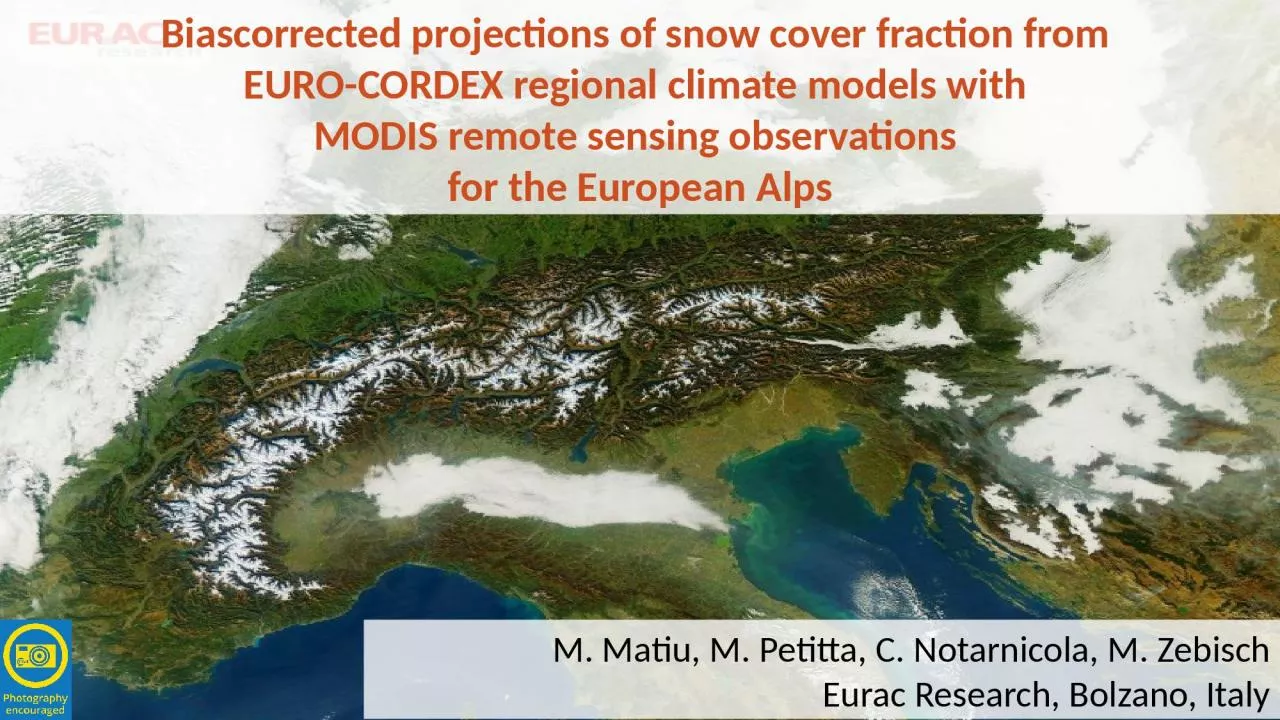
/
Biascorrected  projections of snow cover fraction from Biascorrected  projections of snow cover fraction from

Biascorrected projections of snow cover fraction from - PowerPoint Presentation

morgan
morgan . @morgan
Follow
65 views
Uploaded On 2023-10-26

Biascorrected projections of snow cover fraction from - PPT Presentation

EUROCORDEX regional climate models with MODIS remote sensing observations for the European Alps M Matiu M Petitta C Notarnicola M Zebisch Eurac Research Bolzano Italy Motivation Traditional ID: 1025160

cover snow modis rcm snow cover rcm modis biascorrection rcms climate model observations https doi org raw resolution data

Share:

Link:

Embed:

Download Presentation from below link

Download Presentation The PPT/PDF document "Biascorrected projections of snow cover..." is the property of its rightful owner. Permission is granted to download and print the materials on this web site for personal, non-commercial use only, and to display it on your personal computer provided you do not modify the materials and that you retain all copyright notices contained in the materials. By downloading content from our website, you accept the terms of this agreement.


Presentation Transcript

1. Biascorrected projections of snow cover fraction from EURO-CORDEX regional climate models with MODIS remote sensing observations for the European AlpsM. Matiu, M. Petitta, C. Notarnicola, M. ZebischEurac Research, Bolzano, Italy

2. MotivationTraditional approachAlternativeUse a dedicated snow model, forced by projections from GCM/RCMUse snow from GCM/RCM directly+ +- -accurate physicshigh spatial resolution possiblecomputationally intensive for large areasdecoupling of climate and hydrology? -++(only a) by-productlow (GCM: ~100s km) to moderate (RCM: ~10s km) spatial resolutionlarge areas coveredclimate-hydrology feedbacksEvolution of future snow (cover) in the Alps is relevant for ecology, society, and economy.With climate change less snow is expected. But: Need for more precise and local estimates.

3. MotivationRCMs are capable of reproducing snow, even in mountaineous terrain. See e.g. Steger et al. 2013, Da Ronco et al. 2016, Terzago et al. 2017, and Matiu et al. 2020But still biases remain -> So why not employ a biascorrection as is routinely performed for temperature & precipitation?Critical issue for snow: No gridded and accurate observations exist so far for SWE or snow depthOnly for snow cover, remote sensing allows high-resolution and accurate observationsSteger C, Kotlarski S, Jonas T, Schär C. 2013. Alpine snow cover in a changing climate: a regional climate model perspective. Climate Dynamics, 41(3–4): 735–754. https://doi.org/10.1007/s00382-012-1545-3.Ronco PD, Michele CD, Montesarchio M, Mercogliano P. 2016. Comparing COSMO-CLM simulations and MODIS data of snow cover extent and distribution over Italian Alps. Climate Dynamics, 47(12): 3955–3977. https://doi.org/10.1007/s00382-016-3054-2.Terzago S, Hardenberg J von, Palazzi E, Provenzale A. 2017. Snow water equivalent in the Alps as seen by gridded data sets, CMIP5 and CORDEX climate models. The Cryosphere, 11(4): 1625–1645. https://doi.org/10.5194/tc-11-1625-2017.Matiu M, Petitta M, Notarnicola C, Zebisch M. 2020. Evaluating Snow in EURO-CORDEX Regional Climate Models with Observations for the European Alps: Biases and Their Relationship to Orography, Temperature, and Precipitation Mismatches. Atmosphere, 11(1): 46. https://doi.org/10.3390/atmos11010046.

4. ObjectivesBiascorrect EURO-CORDEX RCMs projections of snow cover fraction using MODIS remote sensing observations

5. Data (observations)MODIS Terra snow coverEurac in-house product based on algorithms developed by Notarnicola et al. 2013Binary (snow, land, cloud, etc)2000-2019Daily250m resolutionClouds filled using a temporal filtering approach, as done in Matiu et al. 2020 but only for Terra images and only a max 20 day temporal filter Notarnicola C, Duguay M, Moelg N, Schellenberger T, Tetzlaff A, Monsorno R, Costa A, Steurer C, Zebisch M. 2013a. Snow Cover Maps from MODIS Images at 250 m Resolution, Part 1: Algorithm Description. Remote Sensing, 5(1): 110–126. https://doi.org/10.3390/rs5010110.Notarnicola C, Duguay M, Moelg N, Schellenberger T, Tetzlaff A, Monsorno R, Costa A, Steurer C, Zebisch M. 2013b. Snow Cover Maps from MODIS Images at 250 m Resolution, Part 2: Validation. Remote Sensing, 5(4): 1568–1587. https://doi.org/10.3390/rs5041568.Matiu M, Jacob A, Notarnicola C. 2020. Daily MODIS Snow Cover Maps for the European Alps from 2002 onwards at 250 m Horizontal Resolution Along with a Nearly Cloud-Free Version. Data, 5(1): 1. https://doi.org/10.3390/data5010001.

6. Data (RCMs)EURO-CORDEX RCMs at 0.11° that have snow cover fraction (SNC) as output for rcp2.6 and rcp8.5 RCMGCMensdsrcp26rcp85ALADIN63CNRM-CERFACS-CNRM-CM5r1i1p1v2XXALADIN63MOHC-HadGEM2-ESr1i1p1v1 XCCLM4-8-17CNRM-CERFACS-CNRM-CM5r1i1p1v1 XCCLM4-8-17ICHEC-EC-EARTHr12i1p1v1XXCCLM4-8-17MOHC-HadGEM2-ESr1i1p1v1 XCCLM4-8-17MPI-M-MPI-ESM-LRr1i1p1v1 XRACMO22ECNRM-CERFACS-CNRM-CM5r1i1p1v2XXRACMO22EICHEC-EC-EARTHr3i1p1v1 XRACMO22EMOHC-HadGEM2-ESr1i1p1v2XXRACMO22EMPI-M-MPI-ESM-LRr1i1p1v1 XRACMO22ENCC-NorESM1-Mr1i1p1v1 XRCA4CNRM-CERFACS-CNRM-CM5r1i1p1v1 XRCA4ICHEC-EC-EARTHr3i1p1v1 XRCA4IPSL-IPSL-CM5A-MRr1i1p1v1 XRCA4MOHC-HadGEM2-ESr1i1p1v1XXRCA4MPI-M-MPI-ESM-LRr3i1p1v1 XRCA4NCC-NorESM1-Mr1i1p1v1XXWRF331FIPSL-IPSL-CM5A-MRr1i1p1v1 XWRF381PIPSL-IPSL-CM5A-MRr1i1p1v1 XWRF381PMOHC-HadGEM2-ESr1i1p1v1 XWRF381PNCC-NorESM1-Mr1i1p1v1 X

7. Methods (data preprocessing)Upscaled MODIS to RCM resolution of 0.11 degBinary snow/land -> snow cover fraction = # snow pixels / # total pixelsRemapped RCM fields to upscaled MODIS grid using nearest-neighbourRemoved RCM grid cells with snow accumulationJoined RCM time series of historical with rcp2.6 and rcp8.5, in order to match MODIS time period of 2000-2019So: the data is on the same spatial grid and with the same temporal resolution.ObservationsModelsPast2000-2019MODIS SNCRCM SNC rcp2.6RCM SNC rcp8.5Future2071-2100RCM SNC rcp2.6RCM SNC rcp8.5

8. Methods (Bias correction)Quantile Delta Mapping (QDM): Cannon et al. 2015Extension of the Quantile Mapping (QM) that preserves (relative/absolute) changes in climate models(Figure from Switanek et al. 2017)Cannon AJ, Sobie SR, Murdock TQ. 2015. Bias Correction of GCM Precipitation by Quantile Mapping: How Well Do Methods Preserve Changes in Quantiles and Extremes? Journal of Climate, 28(17): 6938–6959. https://doi.org/10.1175/JCLI-D-14-00754.1.Switanek MB, Troch PA, Castro CL, Leuprecht A, Chang H-I, Mukherjee R, Demaria EMC. 2017. Scaled distribution mapping: a bias correction method that preserves raw climate model projected changes. Hydrology and Earth System Sciences, 21(6): 2649–2666. https://doi.org/10.5194/hess-21-2649-2017.

9. Methods (Bias correction)Meyer J, Kohn I, Stahl K, Hakala K, Seibert J, Cannon AJ. 2019. Effects of univariate and multivariate bias correction on hydrological impact projections in alpine catchments. Hydrology and Earth System Sciences, 23(3): 1339–1354. https://doi.org/10.5194/hess-23-1339-2019.Modified the original QDM implementation (available in R-package MBC on CRAN):To deal with the bounded nature of SNC (bounded both at minimum 0% and maximum 100%)To be able to apply a moving window approachPossibility to use (not yet decided on best way): Moving window approach (similar to Meyer et al. 2019) window of t days before and after the day-of-year of interestMonth-by-monthThe whole time series at onceSpatial window (k * k pixels around pixel of interest)Spatial chunks (k * k pixels at the same time)

10. Results (maps past Jan)Past SNC (snow cover fraction) for January. MODIS is remote sensing observed for the years 2000-2019. RCMs are shown for each GCM-RCM run, by joining time series of historical runs with rcp8.5, to have the same period 2000-2019. Some cells in RCMs are missing: they were removed because of implausible snow (accumulation).Comments author: All RCMs capture the general snow cover. Differences between GCM negligible compared to differences between RCMs. Some RCMs overestimate snow cover (CCLM, RACMO), while the other provide a very good representation, even for minor scale features. Naturally MODIS has a lot of subpixel information from 250m in these 0.11° pixels, so it has seldomly full 100% snow cover, while this happens more often for the RCMs.

11. Results (map BC example - CLM)Example of biascorrection routine for CCLM4-8-17 and ICHEC-EC-EARTH for three months. Maps of Nov, Jan, and Mar snow cover fraction for MODIS observations, raw model output and BC (after biascorrection).Comments author: November snow cover is almost identical from RCM with MODIS. So there is almost no effect of the biascorrection. Jan and Mar show the RCM overestimation, and the biascorrection adjusts for this.

12. Results (map BC example - WRF)Example of biascorrection routine for WRF381P and IPSL-IPSL-CM5A-MR for three months. Maps of Nov, Jan, and Mar snow cover fraction for MODIS observations, raw model output and BC (after biascorrection).Comments author: The biascorrection adds a lot of the fine scale detail of the MODIS data to the RCM output. Since the biascorrection preserves the RCM change signal, areas which have in the raw output 100% snow cover in the past and in the future also have the same values in the biascorrected versions of past and future (but not 100% SNC, the respective BC values).

13. Results (monthly averages)Monthly averages of snow cover fraction over the whole domain (see slides before; approx the greater alpine region).Black lines: MODIS observation (always past 2000-2019; always the same in the four panels)Red and blue lines: Model means for past (left colum) and future (right column). Top row shows raw model output, bottom row the biascorrected one.Red and blue areas: range of minimum and maximum of model ensemble.Comments author: Raw output shows some overestimation of snow cover (as reported also previously in literature). Biascorrection (BC) moves, by definition, all to observation (we still have to check what causes this little constant bias in BC). RCMs show a large spread in raw output, and this spread gets removed in the past (by definition) with biascorrection, but in the projections the spread is lower with biascorrection. RCP8.5 looks quite dim, with ~half of snow cover in Jan-Feb compared to today.

14. Results (in-depth BC, 1)ECDF (empirical cumulative distribution function) of snow cover for a specific pixel with a distinctive snow season (the RCM shows full snow cover for ~ 40% of the time for the past). Based on daily data for the past (2000-2019) and future (2071-2100), RCM is RCA4. Dashed black line is the observed MODIS snow cover, while in solid red and blue are the RCM values. Dashed red and blue lines are the biascorrected RCM values, using a month-by-month and 1-to-1 pixel approach (no moving time window, no neighbourhood).Comments author: Past raw RCM (solid blue line) shows a large fraction of saturated snow cover (at x=1), while MODIS has more subpixel information and a smoother curve (dashed black line). Biascorrection moves the past RCM to the observation (dashed blue line == dashed black line), except for the region where the RCM has 0 snow cover (where values are made 0 for the biascorrection if they are 0 in the raw; [but this maybe could be changed, similar to how it is done for maximum snow cover]). Black arrows (at y = 0.675) show the change from past to future for the raw and biascorrected values (ratio of change are identical by definition of QDM). This preserving of change leads also to the effect in the black oval: RCM shows no change, and this is also kept for the biascorreted values; however, the no change in the RCM is based on full snow cover, while the observation/biascorrected values have less snow cover.

15. Results (in-depth BC, 2)Same as before, but with 2 changes:RCM is now CCLM4-8-17 and not RCA4Biascorrection was performed using spatial (3x3 pixels) and temporal (-45 to + 45 days) windowsComments author: Differences to before: The temporal and spatial windows only pull the model to the observations, but they are not identical any more. The trend preserving quality cannot be seen, because it is based on ECDF‘s for a larger spatial region and for different temporal windows .The CCLM uses a stronger (or sharper?) parametrization of snow cover: transitions between completely snowfree and completely snow-covered occur much faster (lower range of probabilities between 0 and 1); this has a strong effect on the BC routine.

16. Conclusions & OutlookGeneral remarks on biascorrection:Reduces model spread (is this good or bad?)Makes it easier to compare model projections to observationsCannot (or better should not?) improve the snow cover in RCMs (although, snow cover is represented fairly well even in this complex terrain given the 0.11° resolution; but, a higher resolution might further increase accuracy)In depth view reveals:The adapted routine does what it is supposed to doRequires some stochastic elements to deal with the 0 and 1 limits (no / full snow cover) -> after BC, distributions of observations and RCM match, but it breaks the temporal consistency of snow cover in RCMsThere is some room to play with temporal and spatial windowsBut poses some more „philosophical“ questions:What should the BC do? Should it remain closer to the RCMs, that is preserving trends, which however might not fit observations (full vs partial snow cover)? Or closer to the observations, thereby possibly altering RCM trends?

17. Michael MatiuEurac ResearchInstitute for Earth Observationmichael.matiu@eurac.eduDrususallee/Viale Druso 1I-39100 Bozen/Bolzanowww.eurac.eduThis project has received funding from the European Union’s Horizon 2020 research and innovation programme under the Marie Sklodowska-Curie grant agreement No 795310.Contact