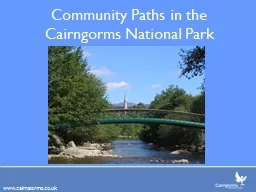
PPT-Cairngorm National Park
Author : myesha-ticknor | Published Date : 2016-07-17
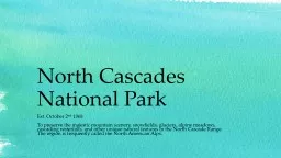
and Dorset Coast Upland National Park Areas Cairngorms Use the Aviemore OS Map to identify these land uses Tourism People attracted by beautiful sceneryangels
Presentation Embed Code
Download Presentation
Download Presentation The PPT/PDF document "Cairngorm National Park" is the property of its rightful owner. Permission is granted to download and print the materials on this website for personal, non-commercial use only, and to display it on your personal computer provided you do not modify the materials and that you retain all copyright notices contained in the materials. By downloading content from our website, you accept the terms of this agreement.
Cairngorm National Park: Transcript
Download Rules Of Document
"Cairngorm National Park"The content belongs to its owner. You may download and print it for personal use, without modification, and keep all copyright notices. By downloading, you agree to these terms.
Related Documents