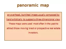
an overhead but tilted image usually composed by hand artistically to suggest a three dimensional view These maps were used most often in the past to attract those moving West or prospective real estate investors ID: 167236
Download Presentation The PPT/PDF document "panoramic map" is the property of its rightful owner. Permission is granted to download and print the materials on this web site for personal, non-commercial use only, and to display it on your personal computer provided you do not modify the materials and that you retain all copyright notices contained in the materials. By downloading content from our website, you accept the terms of this agreement.
Slide1
panoramic map
an
overhead, but tilted image usually composed by hand artistically to suggest a three dimensional view
.
These maps were used most often in the past to attract those moving West or prospective real estate investors.
Slide2
birds-eye map
·
an overhead, but tilted image usually composed by hand artistically to suggest a three dimensional view
.
These maps were used most often in the past to attract those moving West or prospective real estate investors.
Slide3
contour map
an overhead image
hand-drawn or composed by computer aided design tools
used to illustrate elevation changes over a selected geographic space.
Slide4
panoramic map...
an overhead, but tilted image usually composed by hand artistically to suggest a three dimensional view
.Slide5
birds-eye map...
an
overhead, two dimensional (
2D)image,
hand drawn or
photographed.Slide6
countour...
an overhead
image
used to illustrate elevation changes over a selected geographic space.