Search Results for 'map survey'
map survey published presentations and documents on DocSlides.

LiDAR Survey for Mining by Viman Survey
by vimansurvey
Mining projects demand precise terrain intelligenc...

Drone Survey in Jaipur by Viman Survey
by vimansurvey
Drone Survey in Jaipur is helping construction com...
MAP-Works Training Southern Adventist University
by debby-jeon
August 25, 2009. Diana McGregor Fulkerson, Direct...
LAND SURVEYS, SITE LOCATION AND MAP READING
by karlyn-bohler
(4 hours). Speaker : Engr. Merlito Castor Catolic...
THE LIGHT FANTASTIC USING AIRBORNE LIDAR IN ARCHAEOLOGICAL SURVEY S
by cheryl-pisano
Crutchley Aerial Survey Investigation Research D...
INTEGRATING SURVEYING AND GIS
by yoshiko-marsland
PREPARED FOR:. WVAGP SEMINAR. Jared D. Wilson. In...


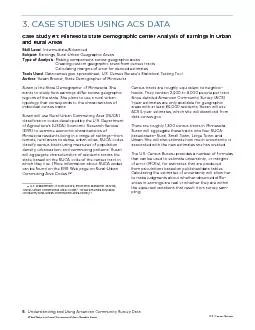
Understanding and Using American Community Survey Data What State and
by desha
3. CASE STUDIES USING ACS DATACase Study #1: Minne...
What types of map data would be useful?
by conchita-marotz
Highly. detailed topographic vector . data.. Bui...
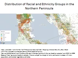
Maps were taken from the New York Times online resource tit
by kittie-lecroy
Mapping America: Every City, Every Block. (link: ...
Maps For Grottos Teaching Cartography and generating maps in a grotto setting
by karlyn-bohler
If you enjoy generating cave maps . And filling g...


SEMBODAI RUKMANI VARATHARAJAN ENGINEERING COLLEGE
by calandra-battersby
DEPARTMENT OF CIVIL ENGINEERING. FOUNDATION ENGIN...

Jim Geach on behalf of the S2CLS consortium
by alida-meadow
The . SCUBA-2 Cosmology Legacy Survey. What is th...

Data Observation Utilizing Survey123
by stefany-barnette
Within Collector for ArcGIS. Craig Bruner. GIS Sp...

CO J =1-0 + J =3-2 map (Oka+ 1999, 2007) Galactic Center
by phoebe-click
CO J =1-0 + J =3-2 map (Oka+ 1999, 2007) Galac...

April 2017 SCC Supplier Performance Management (SPM) Training
by olivia-moreira
April 2017 SCC Supplier Performance Managemen...
Manual of Fisheries Survey Methods IIJanuary 2000Chapter 12Manual of F
by hanah
Clarence M TaubeSuggested citationTaube Clarence M...


Asset Mapping PROCESS AND COMPONENETS
by bency
USER MANAGEMENET AND OIC DASHBOARD. MAPPING USING ...
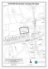
"This map is reproduced from Ordnance Survey material with the permiss
by trish-goza
Print Date:13/01/2014Copyright GBC 2014This map is...
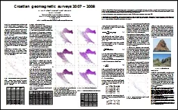
Croatian Geomagnetic Network for Field Mapping
by olivia-moreira
Croatian Geomagnetic Network for Field Mapping . ...
Triton Imaging Inc. – Software Overview
by karlyn-bohler
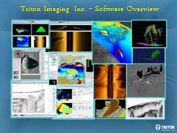
MB. (multibeam). X. X. X. X. X. X. SS. (sidescan)...

This map is reproduced from Ordnance Survey material with the permissi
by lindy-dunigan
Map and Key produced by Cycle City Guides www.cycl...
Advanced Methods of Underground Utility Data Collection
by marina-yarberry
Matthew . Miley. . City of Lorain. @. Matthew_Mi...