Explore
Featured
Recent
Articles
Topics
Login
Upload
Featured
Recent
Articles
Topics
Login
Upload
Search Results for 'Orthoimagery'
Orthoimagery published presentations and documents on DocSlides.
Geospatial Data Accuracy and the New Mapping Accuracy Standard: New Era
by olivia-moreira
Session #35. Dr. . Qassim . Abdullah, Woolpert, I...
Ohio GIS Conference – September 26, 2018
by trish-goza
OSIP – Services Overview. OSIP Background/Overv...
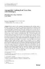
Automatically Conflating Road Vector Data with orthoimagery
by olivia-moreira
C.-C.Chen(GeosembleTechnologies,2041RosecransAve.,...
Automatically and accurately conflating road vector data street maps and orthoimagery
by ellena-manuel
Outline Introduction & Motivation Our approach: AM...
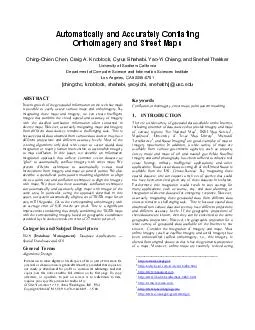
Automatically and Accurately Conflating Orthoimagery and Street Maps
by myesha-ticknor
http://arcweb.esri.com/sc/viewer/index.html http:...
Load More...