/
Flood Zones in Wake County Flood Zones in Wake County

Flood Zones in Wake County - PowerPoint Presentation

tawny-fly
tawny-fly . @tawny-fly
Follow
474 views
Uploaded On 2017-11-10

Flood Zones in Wake County - PPT Presentation

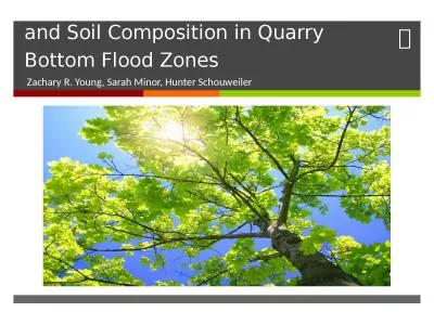
Georgia Ditmore University of North Carolina at Chapel Hill December 1 2014 Wake County North Carolina Objective Analyze the factors that affect the extent of the flood impact area and consider how Wake County growth will change those factors ID: 604417

http flood county www flood http www county wake north cover land zones data factors gov carolina impervious water

Share:

Link:

Embed:

Download Presentation from below link

Download Presentation The PPT/PDF document "Flood Zones in Wake County" is the property of its rightful owner. Permission is granted to download and print the materials on this web site for personal, non-commercial use only, and to display it on your personal computer provided you do not modify the materials and that you retain all copyright notices contained in the materials. By downloading content from our website, you accept the terms of this agreement.


Presentation Transcript

Slide1

Flood Zones in Wake County

Georgia

Ditmore

University of North Carolina at Chapel Hill

December 1, 2014Slide2

Wake County, North CarolinaSlide3

Objective

Analyze the factors that affect the extent of the flood impact area and consider how Wake County growth will change those factors.

Proximity to water bodies

Land Cover

Impervious SurfaceSlide4

North Raleigh FloodingSlide5

North Carolina Population Change 2000-2010Slide6

NC Flood Maps

Hurricane Floyd

Community Regulation

Source: http

://

www.nc-climate.ncsu.edu/office/newsletters/1999FallSlide7

http://www.ncfloodmaps.com/pubdocs/nc_quick_guide_2008.pdfSlide8

Data

NC Flood Map Flood Zones

Raleigh Building Footprints

USA NHDPlusV2 Streams

NLCD Land Cover

NLCD Impervious SurfacesSlide9

Neuse River Watershed

Wake CountySlide10

FloodplainSlide11

Water BodiesSlide12

Land

CoverSlide13

Impervious

SurfacesSlide14

Conclusion

Moving forward flood zones should be compared temporally to consider changes in land cover and impervious surfaces

A slight increase in the flood zone area would jeopardize a substantial number of properties within the county

Hydrologic analysis for flood mapping can include many factorsSlide15

Works Cited

https://geographyas.info/rivers/flooding

/

http://

www.dem.ri.gov/programs/bpoladm/suswshed/pdfs/imperv.pdf

http://www.ncfloodmaps.com

/

http://

ehs.ncpublichealth.com/oswp/nps/resources.htm

http://

www.mrlc.gov/nlcd11_data.php

http://www.census.gov/population/metro/data/thematic_maps.html