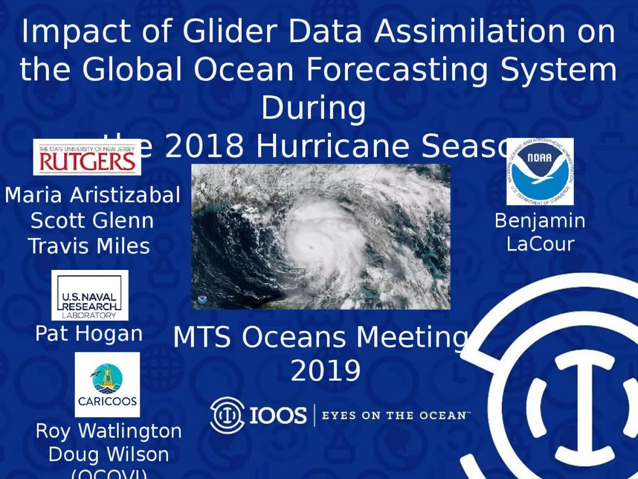
the 2018 Hurricane Season Maria Aristizabal Scott Glenn Travis Miles Benjamin LaCour Pat Hogan MTS Oceans Meeting 2019 Roy Watlington Doug Wilson OCOVI Improve the intensity forecast of the operational hurricane models ID: 1041975
Download Presentation The PPT/PDF document "Impact of Glider Data Assimilation on th..." is the property of its rightful owner. Permission is granted to download and print the materials on this web site for personal, non-commercial use only, and to display it on your personal computer provided you do not modify the materials and that you retain all copyright notices contained in the materials. By downloading content from our website, you accept the terms of this agreement.
1. Impact of Glider Data Assimilation on the Global Ocean Forecasting System During the 2018 Hurricane SeasonMaria AristizabalScott GlennTravis Miles Benjamin LaCourPat Hogan MTS Oceans Meeting 2019Roy WatlingtonDoug Wilson (OCOVI)
2. Improve the intensity forecast of the operational hurricane modelshttps://www.emc.ncep.noaa.gov/gc_wmb/vxt/HWRF/index.phpHurricane Michael ForecastMotivation
3. After Hurricane MichaelCategory 5 at landfallStorm surge 7.7 feetTotal cost estimated as $25 billionMexico Beach
4. https://www.emc.ncep.noaa.gov/None of the models forecasted the rapid intensificationOfficial forecast predicted a cat 2 at landfallhttps://www.emc.ncep.noaa.gov/gc_wmb/vxt/HWRF/index.phpOct 8/2018Forecast Guidance for Storm Michael
5. Limitations on Hurricane Intensity ImprovementComputing resources and model resolution (Rotunno et al., 2009)Poor understanding of the atmospheric boundary layer (Nolan et al., 2009; Andreas et al., 2015)Difficulty in modeling the upper ocean response to storm forcing (Yablonsky and Ginis, 2009). ~ 50%~ 15 %NOAA Annual Operational Suite Review
6. Temperature and humidity differences at the air-sea interface control the heat fluxes. SST is a relevant ocean quantityDuring a storm, SST is manly controlled by the storm-induced vertical mixing and the strength of the vertical stratificationPrice 2009Hurricane Francis 2004Upper Ocean Response
7. In the continental shelf, there are other physical processes that control SST during storms: shear-induced vertical mixing due to wind-forced two-layer circulation (Glenn et al 2016), upwelling/downwelling circulation depending on the incident angle of the storm (Miles et al 2017) To capture the upper ocean response in the shelf is critical because the SST at the shelf will determine if a hurricane will intensify or weaken before landfall Hurricane Irene (Glenn et al 2016)On ShoreOff ShoreUpper Ocean Response
8. How to Improve the Modeling of the Upper Ocean Response During a Hurricane on the continental shelf?Improve the subsurface initial conditions in the operational ocean models: right initial vertical stratification, better evolution of the SST during storms , better heat fluxes estimates
9. How to Improve the Modeling of the Upper Ocean Response During a Hurricane on the continental shelf?Improve the subsurface initial conditions in the operational ocean models: right initial vertical stratification, better evolution of the SST during storms , better heat fluxes estimates Ocean Data Assimilation
10. HWRF/HYCOMHMON/HYCOMHWRF/POMWestPacificSouthPacificNorthIndianSouthIndianCentralPacificEastPacificNorth AtlanticHWRF – Hurricane Weather Research Forecasting ModelHYCOM – Hybrid Coordinate Ocean ModelHMON - Hurricanes in a Multi-scale Ocean-coupled Non- hydrostatic modelPOM – Princeton Ocean Model NOAA Hurricane Forecasting Models
11. Kim et al. 2014Forecasting Model: HWRF-HYCOM SystemICGOFS/NCODAICRTOFS – Real Time Ocean Forecasting SystemGFS – Global Forecasting SystemHurricane Coupled Ocean-Atmosphere
12. Navy Coupled Ocean Data Assimilation System (NCODA)Surface DataSatellite SSTSatellite AltimeterIn Situ SSTGOFS/NCODADrifting buoysFixed buoysArgo FloatsGlidersTESACXBTs (only temp.)Global Ocean Forecasting System (GOFS)Subsurface Temperature and Salinity
13. During the 2018 Hurricane SeasonArgo floats mostly occupy the open oceanOne vertical profile every ten days Argo Floats
14. During the 2018 Hurricane SeasonGlider observations are mostly in the shelfTens of profiles per dayArgo Floats
15. Center (DAC) During Hurricane Season 201862 Gliders in the IOOS Glider Data Assembly
16. ng288Seven Navy gliders reporting to the glider DACin the GoM during hurricane MichaelNg288 was at 36 km from the eye of hurricane MichaelHurricane Michael
17. Jason 2CryoSatArgoThe increment is the change made to the model state at the end of the previous assimilation cycleNCODA Temperature Increments
18. IncrementsInsertion WindowIncrementsInsertion WindowThe assimilation of glider data days ahead of Michael corrected the position of the thermoclineIncrementsInsertion WindowHurricane Michael
19. IncrementsInsertion WindowIncrementsInsertion WindowThe modeled SST increased after the passage of Michael: the ocean response is faster than the 1-day assimilation cycleHurricane Michael
20. Nine gliders reporting to the glider DACin the MAB during hurricane FlorenceRamses was at 188 km north from the eye of FlorenceHurricane FlorenceRamses
21. Hurricane FlorenceGOFS 3.1 captures the main features of the cold pool The model fails to produce the extend of the cold pool As a result the model can not produce the drop in temperature during Florence
22. Ongoing collaboration with NCEP to evaluate the coupled atmosphere-ocean hurricane forecasting models 2018100718 ForecastOngoing and Future WorkAssessing the impact of glider data assimilation during the current hurricane seasonDorianAug 20 – Sep 07
23. During hurricane Michael, the assimilation of glider data proved to be critical to improve the pre-storm vertical stratification in GOFS 3.1The length of the assimilation cycle in NCODA needs to be short enough to be able to capture the rapid ocean response during a hurricaneDuring hurricane Florence, GOFS 3.1 did not capture the extend of the cold pool in the MAB. This prevented the model from capturing the evolution of the SSTConclusions
24. SG665 Salinity at DeploymentJul 19Jul 20Jul 21Jul 22Jul 23Jul 24Jul 25Jul 27Large Salinity offset surface to 160 mSalinity Progressively Improves over 1 week period
25. SG665 Mean temperature and Salinity within the mixed layerDorianCold bias in GOFS 3.1 during Dorian0.3 oC0.6
26. DorianSG665 Mixed layer depth26o
27. DorianSG665 Mixed layer depth