
1 U.S. Air Force Global Weather Modeling: Status


Description: 1 U.S. Air Force Global Weather Modeling: Status Update and Future Vision Major Kurtis Schubeck Chief, Weather Prediction Strategy Air Force Weather 2 Overview USAF Modeling Modernization Current Global Air Land Weather Exploitation Model
Related Topics
Download Presentation
"1 U.S. Air Force Global Weather Modeling: Status" is the property of its rightful owner. Permission is granted to download and print the materials on this website for personal, non-commercial use only, and to display it on your personal computer provided you do not modify the materials and that you retain all copyright notices contained in the materials. By downloading content from our website, you accept the terms of this agreement.
Presentation Transcript
slide1. 1 U.S. Air Force Global Weather
Modeling: Status Update and Future Vision Major Kurtis Schubeck
Chief, Weather Prediction Strategy
Air Force Weather<br>
slide2. 2 Overview USAF Modeling Modernization
Current Global Air Land Weather Exploitation Model (GALWEM) Status
Modernization and the JCSDA<br>
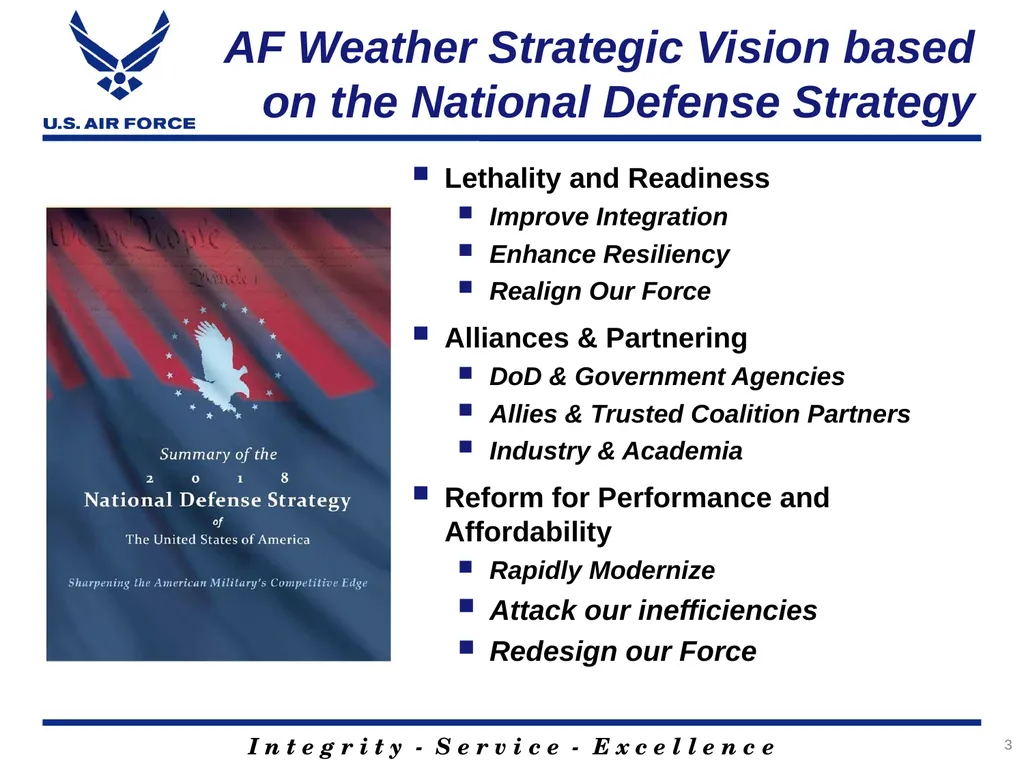
slide3. AF Weather Strategic Vision based on the National Defense Strategy Lethality and Readiness
Improve Integration
Enhance Resiliency
Realign Our Force
Alliances & Partnering
DoD & Government Agencies
Allies & Trusted Coalition Partners
Industry & Academia
Reform for Performance and Affordability
Rapidly Modernize
Attack our inefficiencies
Redesign our Force 3<br>
slide4. 4 Objectives Improve/Evolve/Sustain Existing Capability to Fully Meet Current User Needs
Provide Modeling Capability to Meet Gaps
Add Resilience To Our Modeling System<br>
slide5. 5 Challenge The future challenge of near-peer conflict and the needs of future weapons systems to compete in that conflict will not be met by our current modeling approach
Operational needs are not always aligned with strategic goals in a constrained environment
The USAF does not have an in-house research lab dedicated to RDT&E for weather modeling capabilities<br>
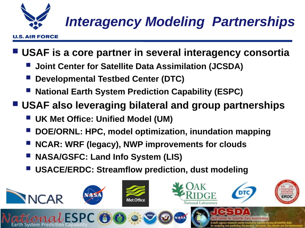
slide6. Interagency Modeling Partnerships USAF is a core partner in several interagency consortia
Joint Center for Satellite Data Assimilation (JCSDA)
Developmental Testbed Center (DTC)
National Earth System Prediction Capability (ESPC)
USAF also leveraging bilateral and group partnerships
UK Met Office: Unified Model (UM)
DOE/ORNL: HPC, model optimization, inundation mapping
NCAR: WRF (legacy), NWP improvements for clouds
NASA/GSFC: Land Info System (LIS)
USACE/ERDC: Streamflow prediction, dust modeling 6<br>
slide7. 7 Current GALWEM Status<br>
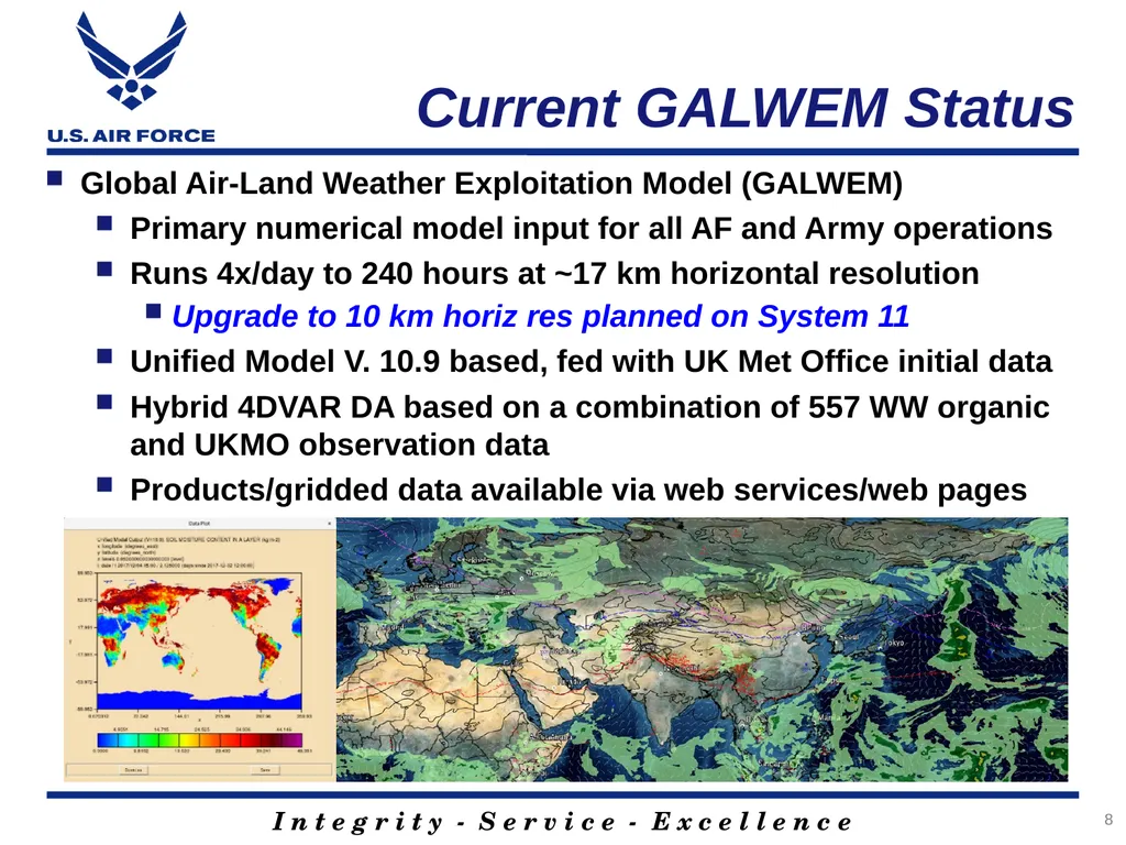
slide8. 8 Current GALWEM Status Global Air-Land Weather Exploitation Model (GALWEM)
Primary numerical model input for all AF and Army operations
Runs 4x/day to 240 hours at ~17 km horizontal resolution
Upgrade to 10 km horiz res planned on System 11
Unified Model V. 10.9 based, fed with UK Met Office initial data
Hybrid 4DVAR DA based on a combination of 557 WW organic and UKMO observation data
Products/gridded data available via web services/web pages<br>
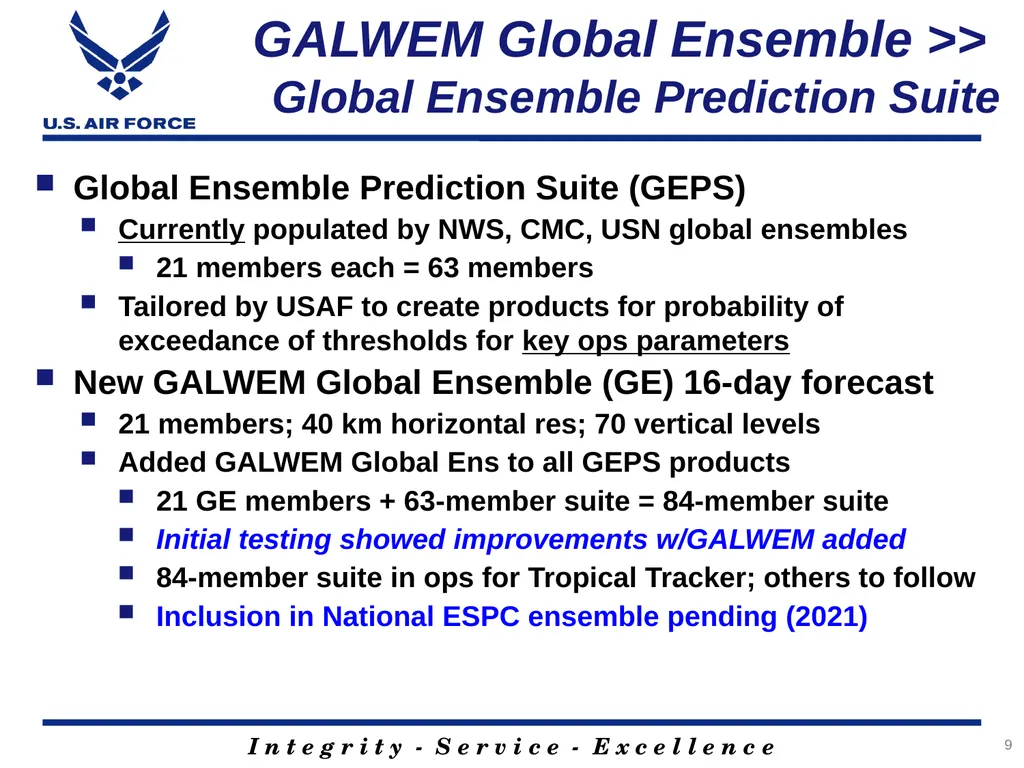
slide9. GALWEM Global Ensemble >> Global Ensemble Prediction Suite Global Ensemble Prediction Suite (GEPS)
Currently populated by NWS, CMC, USN global ensembles
21 members each = 63 members
Tailored by USAF to create products for probability of exceedance of thresholds for key ops parameters
New GALWEM Global Ensemble (GE) 16-day forecast
21 members; 40 km horizontal res; 70 vertical levels
Added GALWEM Global Ens to all GEPS products
21 GE members + 63-member suite = 84-member suite
Initial testing showed improvements w/GALWEM added
84-member suite in ops for Tropical Tracker; others to follow
Inclusion in National ESPC ensemble pending (2021) 9<br>
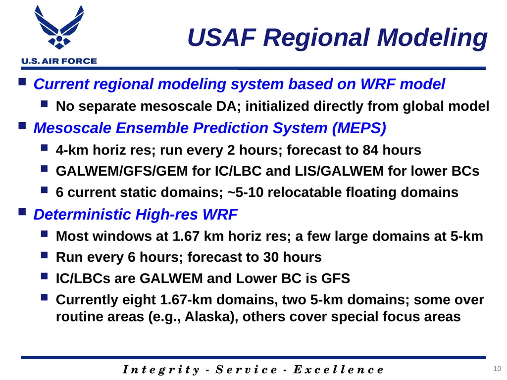
slide10. USAF Regional Modeling Current regional modeling system based on WRF model
No separate mesoscale DA; initialized directly from global model
Mesoscale Ensemble Prediction System (MEPS)
4-km horiz res; run every 2 hours; forecast to 84 hours
GALWEM/GFS/GEM for IC/LBC and LIS/GALWEM for lower BCs
6 current static domains; ~5-10 relocatable floating domains
Deterministic High-res WRF
Most windows at 1.67 km horiz res; a few large domains at 5-km
Run every 6 hours; forecast to 30 hours
IC/LBCs are GALWEM and Lower BC is GFS
Currently eight 1.67-km domains, two 5-km domains; some over routine areas (e.g., Alaska), others cover special focus areas 10<br>
slide11. 11 Modernization and the JCSDA<br>
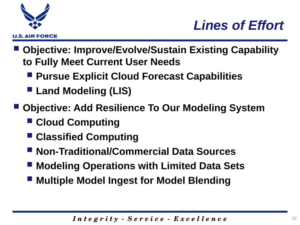
slide12. 12 Lines of Effort Objective: Improve/Evolve/Sustain Existing Capability to Fully Meet Current User Needs
Pursue Explicit Cloud Forecast Capabilities
Land Modeling (LIS)
Objective: Add Resilience To Our Modeling System
Cloud Computing
Classified Computing
Non-Traditional/Commercial Data Sources
Modeling Operations with Limited Data Sets
Multiple Model Ingest for Model Blending<br>
slide13. 13 Final Thoughts<br>
slide14. 14 Questions?<br>
Modeling: Status Update and Future Vision Major Kurtis Schubeck
Chief, Weather Prediction Strategy
Air Force Weather<br>
slide2. 2 Overview USAF Modeling Modernization
Current Global Air Land Weather Exploitation Model (GALWEM) Status
Modernization and the JCSDA<br>
slide3. AF Weather Strategic Vision based on the National Defense Strategy Lethality and Readiness
Improve Integration
Enhance Resiliency
Realign Our Force
Alliances & Partnering
DoD & Government Agencies
Allies & Trusted Coalition Partners
Industry & Academia
Reform for Performance and Affordability
Rapidly Modernize
Attack our inefficiencies
Redesign our Force 3<br>
slide4. 4 Objectives Improve/Evolve/Sustain Existing Capability to Fully Meet Current User Needs
Provide Modeling Capability to Meet Gaps
Add Resilience To Our Modeling System<br>
slide5. 5 Challenge The future challenge of near-peer conflict and the needs of future weapons systems to compete in that conflict will not be met by our current modeling approach
Operational needs are not always aligned with strategic goals in a constrained environment
The USAF does not have an in-house research lab dedicated to RDT&E for weather modeling capabilities<br>
slide6. Interagency Modeling Partnerships USAF is a core partner in several interagency consortia
Joint Center for Satellite Data Assimilation (JCSDA)
Developmental Testbed Center (DTC)
National Earth System Prediction Capability (ESPC)
USAF also leveraging bilateral and group partnerships
UK Met Office: Unified Model (UM)
DOE/ORNL: HPC, model optimization, inundation mapping
NCAR: WRF (legacy), NWP improvements for clouds
NASA/GSFC: Land Info System (LIS)
USACE/ERDC: Streamflow prediction, dust modeling 6<br>
slide7. 7 Current GALWEM Status<br>
slide8. 8 Current GALWEM Status Global Air-Land Weather Exploitation Model (GALWEM)
Primary numerical model input for all AF and Army operations
Runs 4x/day to 240 hours at ~17 km horizontal resolution
Upgrade to 10 km horiz res planned on System 11
Unified Model V. 10.9 based, fed with UK Met Office initial data
Hybrid 4DVAR DA based on a combination of 557 WW organic and UKMO observation data
Products/gridded data available via web services/web pages<br>
slide9. GALWEM Global Ensemble >> Global Ensemble Prediction Suite Global Ensemble Prediction Suite (GEPS)
Currently populated by NWS, CMC, USN global ensembles
21 members each = 63 members
Tailored by USAF to create products for probability of exceedance of thresholds for key ops parameters
New GALWEM Global Ensemble (GE) 16-day forecast
21 members; 40 km horizontal res; 70 vertical levels
Added GALWEM Global Ens to all GEPS products
21 GE members + 63-member suite = 84-member suite
Initial testing showed improvements w/GALWEM added
84-member suite in ops for Tropical Tracker; others to follow
Inclusion in National ESPC ensemble pending (2021) 9<br>
slide10. USAF Regional Modeling Current regional modeling system based on WRF model
No separate mesoscale DA; initialized directly from global model
Mesoscale Ensemble Prediction System (MEPS)
4-km horiz res; run every 2 hours; forecast to 84 hours
GALWEM/GFS/GEM for IC/LBC and LIS/GALWEM for lower BCs
6 current static domains; ~5-10 relocatable floating domains
Deterministic High-res WRF
Most windows at 1.67 km horiz res; a few large domains at 5-km
Run every 6 hours; forecast to 30 hours
IC/LBCs are GALWEM and Lower BC is GFS
Currently eight 1.67-km domains, two 5-km domains; some over routine areas (e.g., Alaska), others cover special focus areas 10<br>
slide11. 11 Modernization and the JCSDA<br>
slide12. 12 Lines of Effort Objective: Improve/Evolve/Sustain Existing Capability to Fully Meet Current User Needs
Pursue Explicit Cloud Forecast Capabilities
Land Modeling (LIS)
Objective: Add Resilience To Our Modeling System
Cloud Computing
Classified Computing
Non-Traditional/Commercial Data Sources
Modeling Operations with Limited Data Sets
Multiple Model Ingest for Model Blending<br>
slide13. 13 Final Thoughts<br>
slide14. 14 Questions?<br>