Annual EELF Conference 2016 Procedural
Author : pasty-toler | Published Date : 2025-07-18
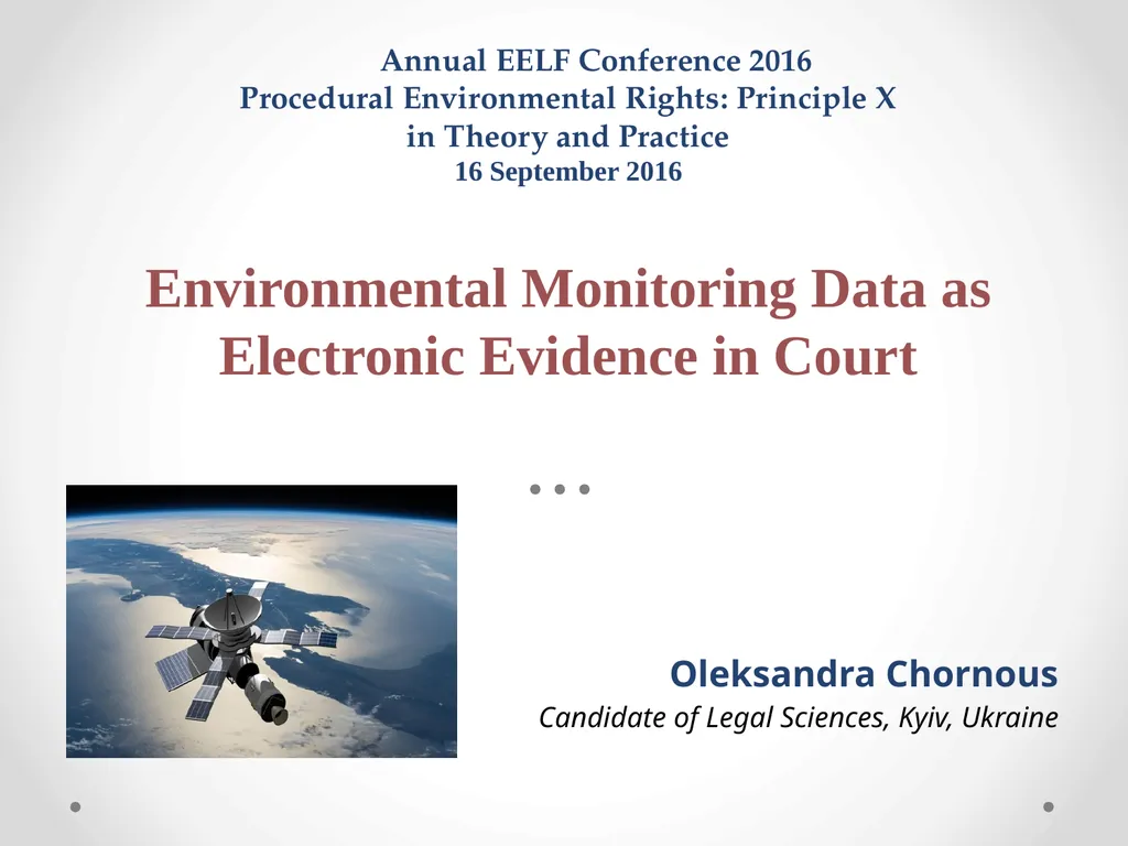
Description: Annual EELF Conference 2016 Procedural Environmental Rights Principle X in Theory and Practice 16 September 2016 Environmental Monitoring Data as Electronic Evidence in Court Oleksandra Chornous Candidate of Legal Sciences Kyiv Ukraine
Presentation Embed Code
Download Presentation
Download
Presentation The PPT/PDF document
"Annual EELF Conference 2016 Procedural" is the property of its rightful owner.
Permission is granted to download and print the materials on this website for personal, non-commercial use only,
and to display it on your personal computer provided you do not modify the materials and that you retain all
copyright notices contained in the materials. By downloading content from our website, you accept the terms of
this agreement.
Transcript:Annual EELF Conference 2016 Procedural:
Annual EELF Conference 2016 Procedural Environmental Rights: Principle X in Theory and Practice 16 September 2016 Environmental Monitoring Data as Electronic Evidence in Court Oleksandra Chornous Candidate of Legal Sciences, Kyiv, Ukraine Table of contents Introduction Environmental monitoring data as e-evidence in court Drawbacks and advantages of using environmental monitoring data as e-evidence The obstacles for use of environmental monitoring data in court Conclusion Introduction One of the important sources of environmental information is environmental monitoring (EM) data, which are obtained in the course of remote sensing (RS). Application of RS has a long history: the Second World War - for military purposes as a verification tool in arms control agreements. It introduced "national technical means of verification" (NTM) to monitor and evaluate compliance with treaty obligations. NTM included electronic monitoring systems, seismometers, and radar networks, but relied most heavily on satellite observation which produced aerial photographs Complexity of relationships on handling EM data: International Law (security), Constitutional Law (sovereignty), Administrative Law (interaction between stakeholders and rules of handling the data), Space Law (satellite activity), Aviation Law (conducting EM with help of aircraft), Environmental Law (access to environmental information), Informational Technology Law (digital data management), Intellectual Property Law (copyright protection of images). A unified law or regulation for remote sensing activities has not been developed neither on the international level nor domestically (except in the U.S.), though establishment of Remote Sensing Law, as science, is discussed in the legal literature. 1. EM data in legal context EM data is digital information (records on physical, chemical, and biological analyses and measurements) about the state of natural resources and environment in whole, which allows making EIA for decision-making. EM data are stored in the database of international organizations/state agency, the Geographic Information System (GIS) and private companies. The main task of EM database is to ensure quality of data and to provide timely access for its stakeholders. The access to EM data is a source of conflict for stakeholders. Value of the data depends on the functions performed by them for environment, people, and economy. Taking into account technical characteristics of EM data, their use as electronic evidence in environmental courts would ease litigation. Therefore, access to EM data should be ensured to every person and to be balanced with other kinds of interests. 1. EM data in legal context Any data consists of content (what the data actually are) and context