
Eloi OUEDRAOGO Statistician, Agricultural Census
SN
Published · 33 slides · 0 views

1 / 1





Description
Eloi OUEDRAOGO Statistician, Agricultural Census Team FAO Statistics Division (ESS) Preparation of frames and mapping Technical Session 5: Preparation of Frames and mapping 1 Webinar on the Operational Guidelines of the WCA 2020. Virtual
Related Topics
Share
Embed code
Download this presentation From Below
"Eloi OUEDRAOGO Statistician, Agricultural Census" is the property of its rightful owner. Permission is granted to download and print the materials on this website for personal, non-commercial use only, and to display it on your personal computer provided you do not modify the materials and that you retain all copyright notices contained in the materials. By downloading content from our website, you accept the terms of this agreement.
Presentation Transcript
01
Eloi OUEDRAOGO
Statistician, Agricultural Census Team
FAO Statistics Division (ESS) Preparation of frames and mapping
Technical Session 5: Preparation of Frames and mapping 1 Webinar on the Operational Guidelines of the WCA 2020. Virtual Meeting – Europe and Central Asia 25-29 October 2021<br>
Statistician, Agricultural Census Team
FAO Statistics Division (ESS) Preparation of frames and mapping
Technical Session 5: Preparation of Frames and mapping 1 Webinar on the Operational Guidelines of the WCA 2020. Virtual Meeting – Europe and Central Asia 25-29 October 2021<br>
02
THE AGRICULTURAL CENSUS (AC) FRAME
DEFINITION OF A FRAME
TYPES OF FRAMES AND SOURCES OF INFORMATION
SOME GUIDELINES ON BUILDING FRAMES
FRAME REQUIREMENTS FOR VARIOUS CENSUS MODALITIES
USE OF THRESHOLDS IN THE CENSUS
CARTOGRAPHY AND USE OF MAPS
PURPOSE OF MAPS USED FOR AC
CARTOGRAPHIC WORK AND TYPES OF MAPS 2 CONTENTS<br>
DEFINITION OF A FRAME
TYPES OF FRAMES AND SOURCES OF INFORMATION
SOME GUIDELINES ON BUILDING FRAMES
FRAME REQUIREMENTS FOR VARIOUS CENSUS MODALITIES
USE OF THRESHOLDS IN THE CENSUS
CARTOGRAPHY AND USE OF MAPS
PURPOSE OF MAPS USED FOR AC
CARTOGRAPHIC WORK AND TYPES OF MAPS 2 CONTENTS<br>
03
THE AGRICULTURAL CENSUS (AC) FRAME
DEFINITION OF A FRAME
TYPES OF FRAMES AND SOURCES OF INFORMATION
FRAME REQUIREMENTS FOR VARIOUS CENSUS MODALITIES
SOME GUIDELINES ON BUILDING FRAMES
USE OF THRESHOLDS IN THE CENSUS
CARTOGRAPHY AND USE OF MAPS
PURPOSE OF MAPS USED FOR AC
CARTOGRAPHIC WORK AND TYPES OF MAPS 3 CONTENTS<br>
DEFINITION OF A FRAME
TYPES OF FRAMES AND SOURCES OF INFORMATION
FRAME REQUIREMENTS FOR VARIOUS CENSUS MODALITIES
SOME GUIDELINES ON BUILDING FRAMES
USE OF THRESHOLDS IN THE CENSUS
CARTOGRAPHY AND USE OF MAPS
PURPOSE OF MAPS USED FOR AC
CARTOGRAPHIC WORK AND TYPES OF MAPS 3 CONTENTS<br>
04
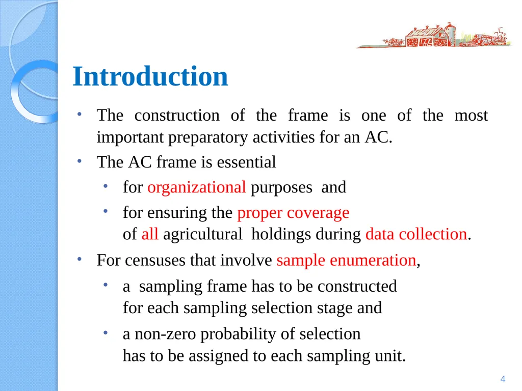
Introduction 4 The construction of the frame is one of the most important preparatory activities for an AC.
The AC frame is essential
for organizational purposes and
for ensuring the proper coverage of all agricultural holdings during data collection.
For censuses that involve sample enumeration,
a sampling frame has to be constructed for each sampling selection stage and
a non-zero probability of selection has to be assigned to each sampling unit.<br>
05
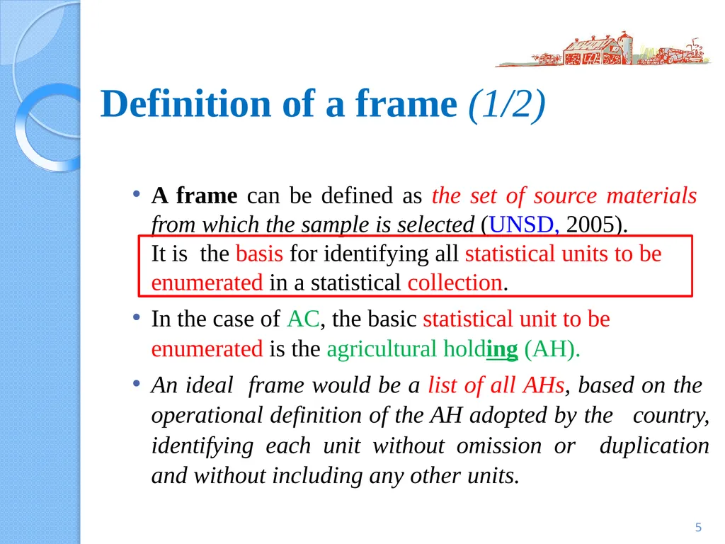
Definition of a frame (1/2) 5 A frame can be defined as the set of source materials from which the sample is selected (UNSD, 2005).
It is the basis for identifying all statistical units to be enumerated in a statistical collection.
In the case of AC, the basic statistical unit to be enumerated is the agricultural holding (AH).
An ideal frame would be a list of all AHs, based on the operational definition of the AH adopted by the country, identifying each unit without omission or duplication and without including any other units.<br>
06
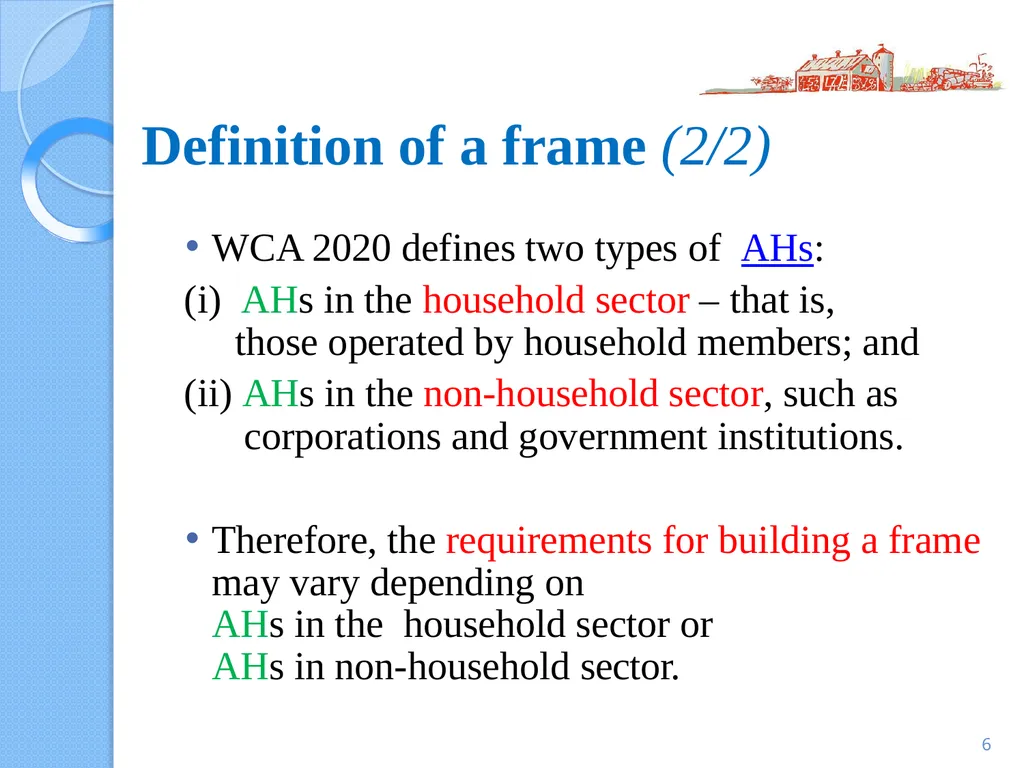
Definition of a frame (2/2) 6 WCA 2020 defines two types of AHs:
AHs in the household sector – that is, those operated by household members; and
AHs in the non-household sector, such as corporations and government institutions.
Therefore, the requirements for building a frame may vary depending on AHs in the household sector or AHs in non-household sector.<br>
AHs in the household sector – that is, those operated by household members; and
AHs in the non-household sector, such as corporations and government institutions.
Therefore, the requirements for building a frame may vary depending on AHs in the household sector or AHs in non-household sector.<br>
07
THE AGRICULTURAL CENSUS (AC) FRAME
DEFINITION OF A FRAME
TYPES OF FRAMES AND SOURCES OF INFORMATION
FRAME REQUIREMENTS FOR VARIOUS CENSUS MODALITIES
SOME GUIDELINES ON BUILDING FRAMES
USE OF THRESHOLDS IN THE CENSUS
CARTOGRAPHY AND USE OF MAPS
PURPOSE OF MAPS USED FOR AC
CARTOGRAPHIC WORK AND TYPES OF MAPS 7 CONTENTS<br>
DEFINITION OF A FRAME
TYPES OF FRAMES AND SOURCES OF INFORMATION
FRAME REQUIREMENTS FOR VARIOUS CENSUS MODALITIES
SOME GUIDELINES ON BUILDING FRAMES
USE OF THRESHOLDS IN THE CENSUS
CARTOGRAPHY AND USE OF MAPS
PURPOSE OF MAPS USED FOR AC
CARTOGRAPHIC WORK AND TYPES OF MAPS 7 CONTENTS<br>
08
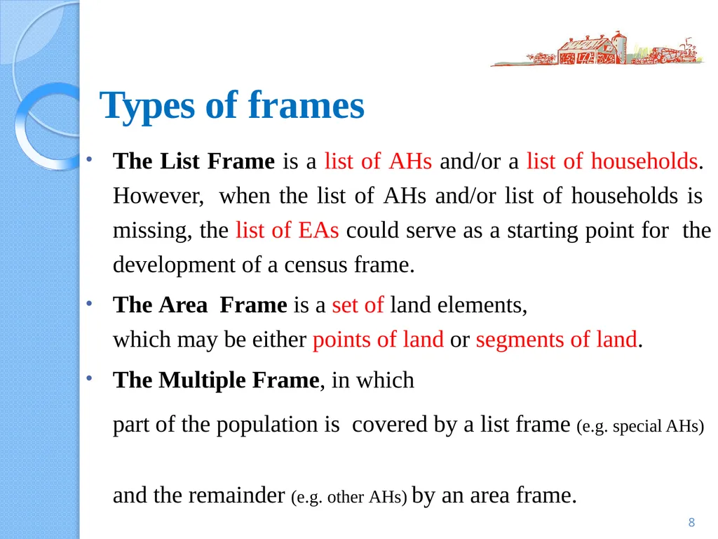
Types of frames 8 The List Frame is a list of AHs and/or a list of households. However, when the list of AHs and/or list of households is missing, the list of EAs could serve as a starting point for the development of a census frame.
The Area Frame is a set of land elements, which may be either points of land or segments of land.
The Multiple Frame, in which part of the population is covered by a list frame (e.g. special AHs) and the remainder (e.g. other AHs) by an area frame.<br>
The Area Frame is a set of land elements, which may be either points of land or segments of land.
The Multiple Frame, in which part of the population is covered by a list frame (e.g. special AHs) and the remainder (e.g. other AHs) by an area frame.<br>
09
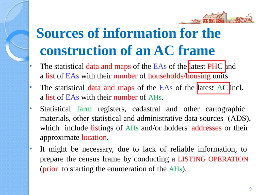
Sources of information for the construction of an AC frame 9 The statistical data and maps of the EAs of the latest PHC and
a list of EAs with their number of households/housing units.
The statistical data and maps of the EAs of the latest AC incl.
a list of EAs with their number of AHs.
Statistical farm registers, cadastral and other cartographic materials, other statistical and administrative data sources (ADS), which include listings of AHs and/or holders' addresses or their approximate location.
It might be necessary, due to lack of reliable information, to prepare the census frame by conducting a LISTING OPERATION (prior to starting the enumeration of the AHs). v vvv<br>
10
THE AGRICULTURAL CENSUS (AC) FRAME
DEFINITION OF A FRAME
TYPES OF FRAMES AND SOURCES OF INFORMATION
FRAME REQUIREMENTS FOR VARIOUS CENSUS MODALITIES
SOME GUIDELINES ON BUILDING FRAMES
USE OF THRESHOLDS IN THE CENSUS
CARTOGRAPHY AND USE OF MAPS
PURPOSE OF MAPS USED FOR AC
CARTOGRAPHIC WORK AND TYPES OF MAPS 10 CONTENTS<br>
DEFINITION OF A FRAME
TYPES OF FRAMES AND SOURCES OF INFORMATION
FRAME REQUIREMENTS FOR VARIOUS CENSUS MODALITIES
SOME GUIDELINES ON BUILDING FRAMES
USE OF THRESHOLDS IN THE CENSUS
CARTOGRAPHY AND USE OF MAPS
PURPOSE OF MAPS USED FOR AC
CARTOGRAPHIC WORK AND TYPES OF MAPS 10 CONTENTS<br>
11
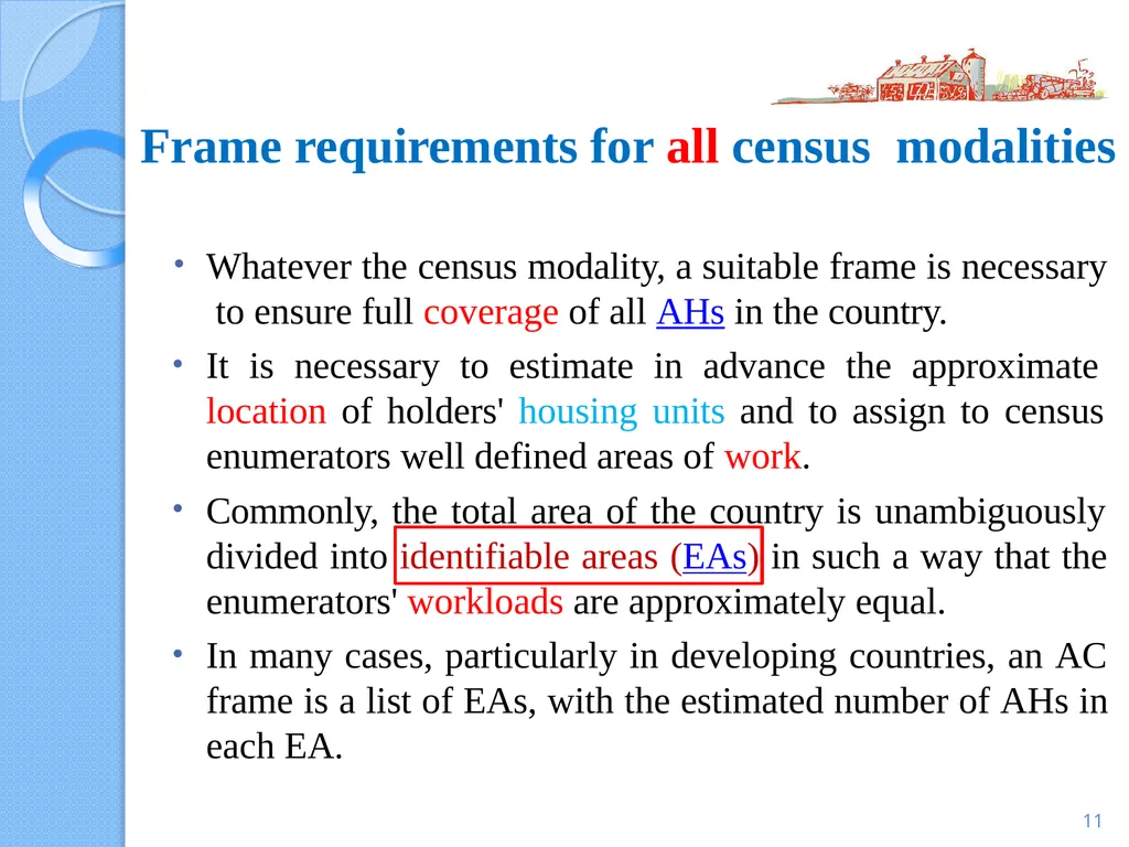
Frame requirements for all census modalities 11 Whatever the census modality, a suitable frame is necessary to ensure full coverage of all AHs in the country.
It is necessary to estimate in advance the approximate location of holders' housing units and to assign to census enumerators well defined areas of work.
Commonly, the total area of the country is unambiguously divided into identifiable areas (EAs) in such a way that the enumerators' workloads are approximately equal.
In many cases, particularly in developing countries, an AC frame is a list of EAs, with the estimated number of AHs in each EA.<br>
12
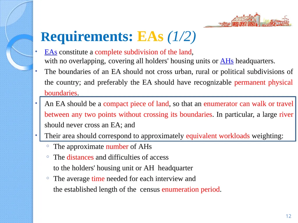
12 EAs constitute a complete subdivision of the land,
with no overlapping, covering all holders' housing units or AHs headquarters.
The boundaries of an EA should not cross urban, rural or political subdivisions of the country; and preferably the EA should have recognizable permanent physical boundaries.
An EA should be a compact piece of land, so that an enumerator can walk or travel between any two points without crossing its boundaries. In particular, a large river should never cross an EA; and
Their area should correspond to approximately equivalent workloads weighting:
The approximate number of AHs
The distances and difficulties of access to the holders' housing unit or AH headquarter
The average time needed for each interview and the established length of the census enumeration period. Requirements: EAs (1/2)<br>
13
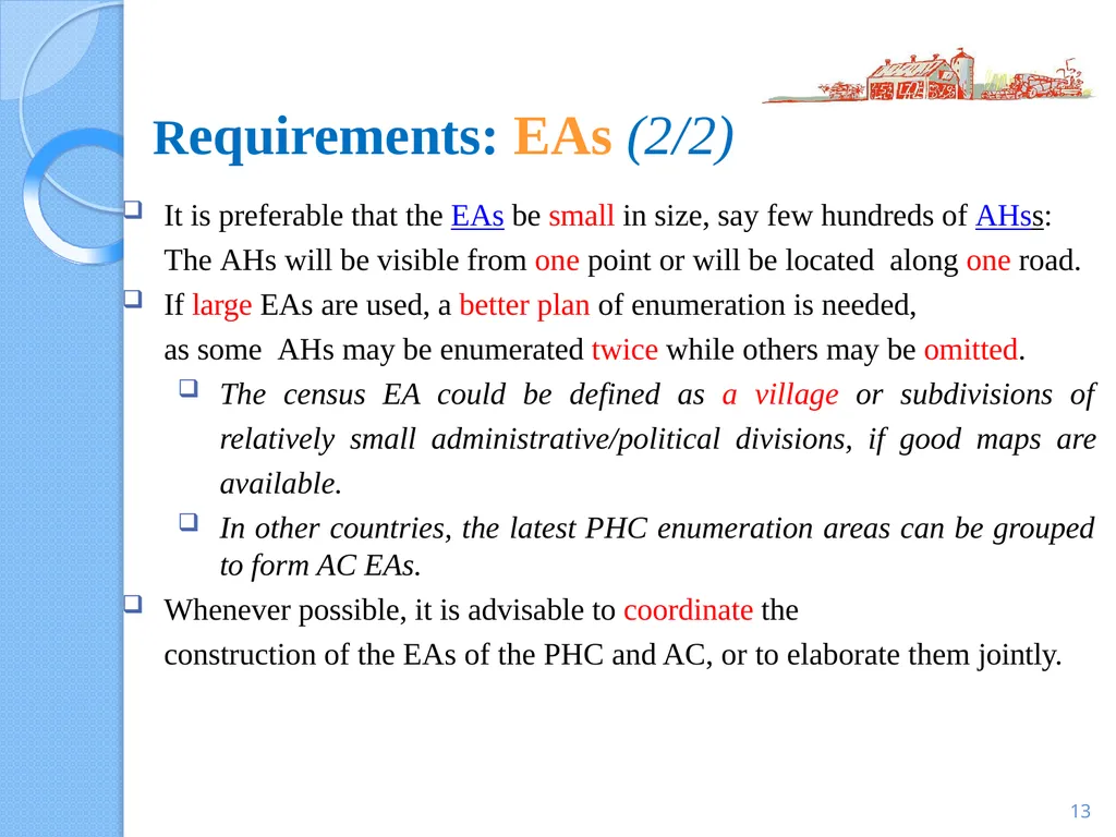
Requirements: EAs (2/2) 13 It is preferable that the EAs be small in size, say few hundreds of AHss:
The AHs will be visible from one point or will be located along one road.
If large EAs are used, a better plan of enumeration is needed, as some AHs may be enumerated twice while others may be omitted.
The census EA could be defined as a village or subdivisions of relatively small administrative/political divisions, if good maps are available.
In other countries, the latest PHC enumeration areas can be grouped to form AC EAs.
Whenever possible, it is advisable to coordinate the construction of the EAs of the PHC and AC, or to elaborate them jointly.<br>
14
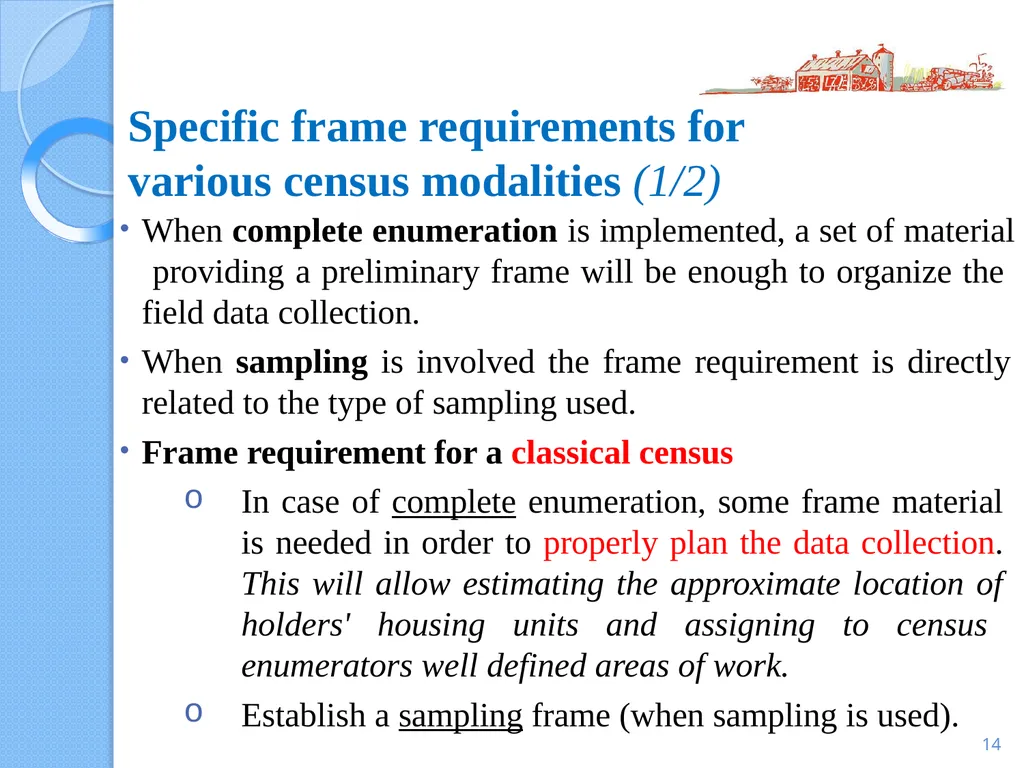
14 When complete enumeration is implemented, a set of material providing a preliminary frame will be enough to organize the field data collection.
When sampling is involved the frame requirement is directly
related to the type of sampling used.
Frame requirement for a classical census
In case of complete enumeration, some frame material is needed in order to properly plan the data collection. This will allow estimating the approximate location of holders' housing units and assigning to census enumerators well defined areas of work.
Establish a sampling frame (when sampling is used). Specific frame requirements for various census modalities (1/2)<br>
15
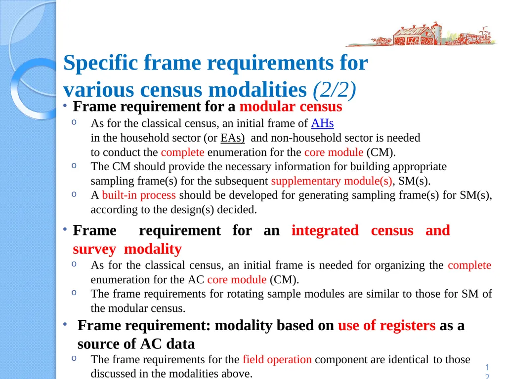
Frame requirement for a modular census
As for the classical census, an initial frame of AHs in the household sector (or EAs) and non-household sector is needed to conduct the complete enumeration for the core module (CM).
The CM should provide the necessary information for building appropriate
sampling frame(s) for the subsequent supplementary module(s), SM(s).
A built-in process should be developed for generating sampling frame(s) for SM(s), according to the design(s) decided.
Frame requirement for an integrated census and survey modality
As for the classical census, an initial frame is needed for organizing the complete enumeration for the AC core module (CM).
The frame requirements for rotating sample modules are similar to those for SM of the modular census.
Frame requirement: modality based on use of registers as a source of AC data
The frame requirements for the field operation component are identical to those discussed in the modalities above. 12 Specific frame requirements for various census modalities (2/2)<br>
16
THE AGRICULTURAL CENSUS (AC) FRAME
DEFINITION OF A FRAME
TYPES OF FRAMES AND SOURCES OF INFORMATION
FRAME REQUIREMENTS FOR VARIOUS CENSUS MODALITIES
SOME GUIDELINES ON BUILDING FRAMES
USE OF THRESHOLDS IN THE CENSUS
CARTOGRAPHY AND USE OF MAPS
PURPOSE OF MAPS USED FOR AC
CARTOGRAPHIC WORK AND TYPES OF MAPS 16 CONTENTS<br>
DEFINITION OF A FRAME
TYPES OF FRAMES AND SOURCES OF INFORMATION
FRAME REQUIREMENTS FOR VARIOUS CENSUS MODALITIES
SOME GUIDELINES ON BUILDING FRAMES
USE OF THRESHOLDS IN THE CENSUS
CARTOGRAPHY AND USE OF MAPS
PURPOSE OF MAPS USED FOR AC
CARTOGRAPHIC WORK AND TYPES OF MAPS 16 CONTENTS<br>
17
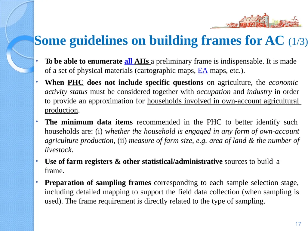
17 To be able to enumerate all AHs a preliminary frame is indispensable. It is made
of a set of physical materials (cartographic maps, EA maps, etc.).
When PHC does not include specific questions on agriculture, the economic activity status must be considered together with occupation and industry in order to provide an approximation for households involved in own-account agricultural production.
The minimum data items recommended in the PHC to better identify such households are: (i) whether the household is engaged in any form of own-account agriculture production, (ii) measure of farm size, e.g. area of land & the number of livestock.
Use of farm registers & other statistical/administrative sources to build a
frame.
Preparation of sampling frames corresponding to each sample selection stage, including detailed mapping to support the field data collection (when sampling is used). The frame requirement is directly related to the type of sampling. Some guidelines on building frames for AC (1/3)<br>
18
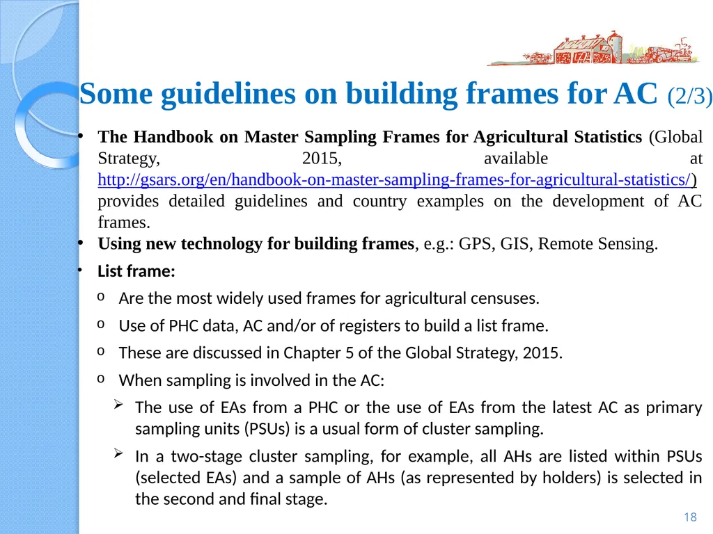
The Handbook on Master Sampling Frames for Agricultural Statistics (Global Strategy, 2015, available at http://gsars.org/en/handbook-on-master-sampling-frames-for-agricultural-statistics/) provides detailed guidelines and country examples on the development of AC frames.
Using new technology for building frames, e.g.: GPS, GIS, Remote Sensing.
List frame:
Are the most widely used frames for agricultural censuses.
Use of PHC data, AC and/or of registers to build a list frame.
These are discussed in Chapter 5 of the Global Strategy, 2015.
When sampling is involved in the AC:
The use of EAs from a PHC or the use of EAs from the latest AC as primary sampling units (PSUs) is a usual form of cluster sampling.
In a two-stage cluster sampling, for example, all AHs are listed within PSUs (selected EAs) and a sample of AHs (as represented by holders) is selected in the second and final stage. 18 Some guidelines on building frames for AC (2/3)<br>
19
Some guidelines on building frames for AC (3/3) 19 Area frames
The main types of sampling units in area frame: segments, points, transects.
These are discussed in Chapter 6 of the Global Strategy (GS), 2015.
Multiple frames
Multiple frame sampling involves the joint use of area and list frames.
Any duplication (overlap) of list frame elements in the area frame must be removed, an operation that requires special attention and resources.
These are discussed in Chapter 7 of the Global Strategy (GS), 2015.<br>
20
THE AGRICULTURAL CENSUS (AC) FRAME
DEFINITION OF A FRAME
TYPES OF FRAMES AND SOURCES OF INFORMATION
FRAME REQUIREMENTS FOR VARIOUS CENSUS MODALITIES
SOME GUIDELINES ON BUILDING FRAMES
USE OF THRESHOLDS IN THE CENSUS
CARTOGRAPHY AND USE OF MAPS
PURPOSE OF MAPS USED FOR AC
CARTOGRAPHIC WORK AND TYPES OF MAPS 20 CONTENTS<br>
DEFINITION OF A FRAME
TYPES OF FRAMES AND SOURCES OF INFORMATION
FRAME REQUIREMENTS FOR VARIOUS CENSUS MODALITIES
SOME GUIDELINES ON BUILDING FRAMES
USE OF THRESHOLDS IN THE CENSUS
CARTOGRAPHY AND USE OF MAPS
PURPOSE OF MAPS USED FOR AC
CARTOGRAPHIC WORK AND TYPES OF MAPS 20 CONTENTS<br>
21
Use of thresholds in the census (1/3) As discussed in WCA 2020, Vol.1 (Chapter 6), in many countries,
a minimum size limit (MSL) is adopted for AHs included in the census.
The rationale is that generally, there is a large number of very small AHs which make a marginal contribution to total agricultural production but whose inclusion in the AC greatly increases the workload and budget.
Reliable information about agricultural producers to ensure that only the units with little contribution to total agricultural production are excluded from the AC.
MSLs could be set up well in advance of the census, based on data from previous ACs, farm registers and other relevant statistical and admin. data sources, or on the results of the listing operation conducted in the pre- census phase. In the latter case, relevant information related to AH’s size should be included in the listing.
When the listing phase is combined with census enumeration (starting
from a list of households), some initial questions are needed to screen out those that are not AHs. 16<br>
22
22 Various criteria may be used to establish MSLs, such as those regarding AHs:
operated land and livestock raised, e.g. total area of holding or area by major land use types; total number of livestock by main types and/or over certain age
inputs, e.g. quantity of labour used
output, e.g. value of agricultural production, value of sales, quantity of produce sold
purpose of production; in such a case, the census scope could be restricted to commercial agricultural activities, omitting subsistence holdings.
One or a combination of such criteria could be used to set MSLs. However, complex thresholds should be avoided. The MSL should be clearly stated, known both to census personnel, respondents and users, and specified in the census report to help the interpretation and analysis of census results. Use of thresholds in the census (2/3)<br>
23
23 Small AHs are often a significant part of the agricultural sector and without information on such holdings a complete picture cannot be provided.
A number of countries, do not apply any minimum size limits or adopt a very low threshold for defining eligible AHs.
Countries that exclude small AHs from complete enumeration are strongly urged to set the minimum size limit as low as possible and to consider the collection of data through dedicated sample surveys for the AHs which are below the threshold. Use of thresholds in the census (3/3)<br>
24
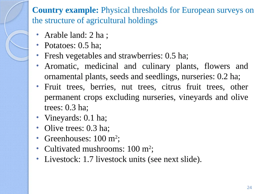
Country example: Physical thresholds for European surveys on the structure of agricultural holdings Arable land: 2 ha ;
Potatoes: 0.5 ha;
Fresh vegetables and strawberries: 0.5 ha;
Aromatic, medicinal and culinary plants, flowers and ornamental plants, seeds and seedlings, nurseries: 0.2 ha;
Fruit trees, berries, nut trees, citrus fruit trees, other permanent crops excluding nurseries, vineyards and olive trees: 0.3 ha;
Vineyards: 0.1 ha;
Olive trees: 0.3 ha;
Greenhouses: 100 m2;
Cultivated mushrooms: 100 m2;
Livestock: 1.7 livestock units (see next slide). 24<br>
25
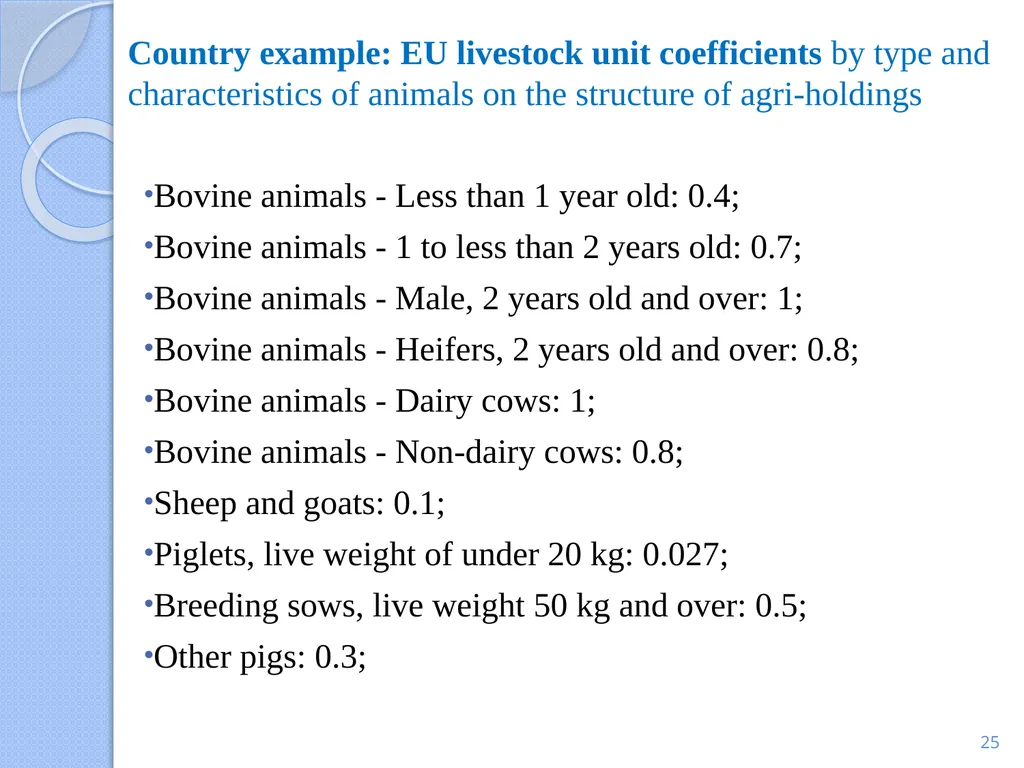
Country example: EU livestock unit coefficients by type and characteristics of animals on the structure of agri-holdings Bovine animals - Less than 1 year old: 0.4;
Bovine animals - 1 to less than 2 years old: 0.7;
Bovine animals - Male, 2 years old and over: 1;
Bovine animals - Heifers, 2 years old and over: 0.8;
Bovine animals - Dairy cows: 1;
Bovine animals - Non-dairy cows: 0.8;
Sheep and goats: 0.1;
Piglets, live weight of under 20 kg: 0.027;
Breeding sows, live weight 50 kg and over: 0.5;
Other pigs: 0.3; 25<br>
26
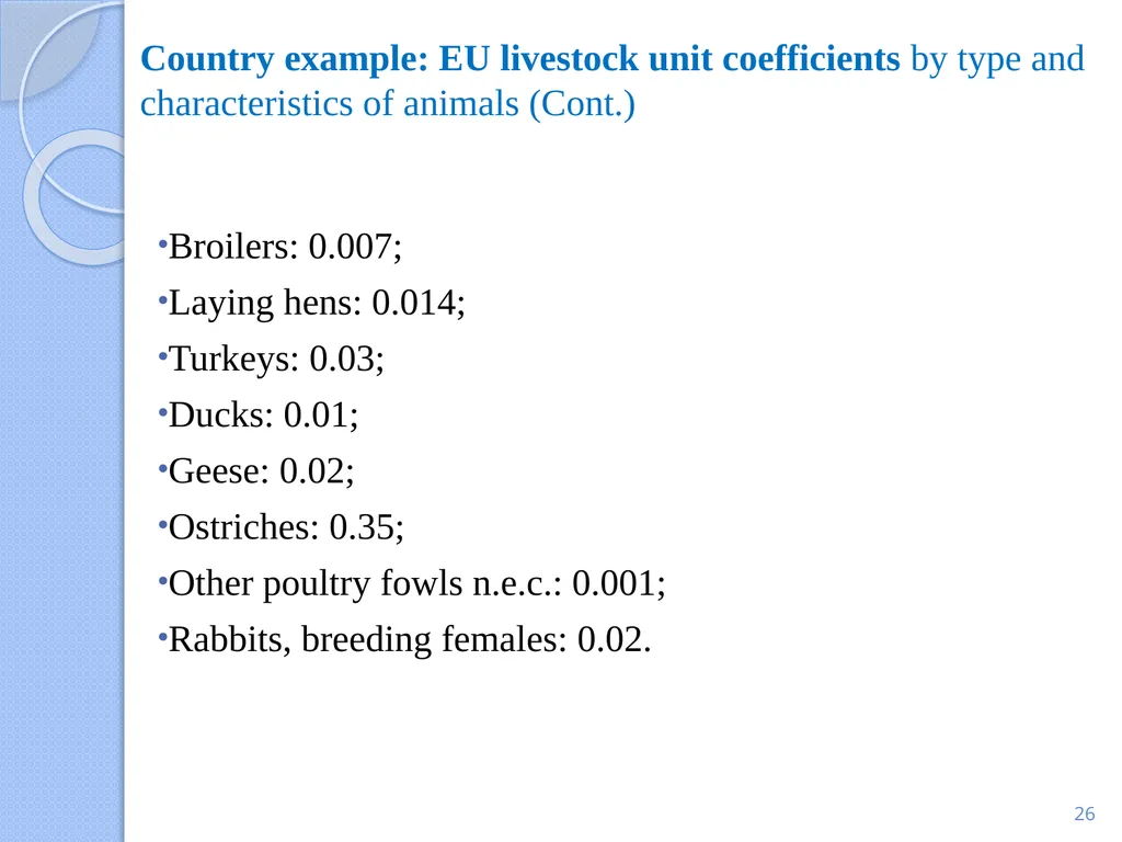
Country example: EU livestock unit coefficients by type and characteristics of animals (Cont.) Broilers: 0.007;
Laying hens: 0.014;
Turkeys: 0.03;
Ducks: 0.01;
Geese: 0.02;
Ostriches: 0.35;
Other poultry fowls n.e.c.: 0.001;
Rabbits, breeding females: 0.02. 26<br>
Laying hens: 0.014;
Turkeys: 0.03;
Ducks: 0.01;
Geese: 0.02;
Ostriches: 0.35;
Other poultry fowls n.e.c.: 0.001;
Rabbits, breeding females: 0.02. 26<br>
27
THE AGRICULTURAL CENSUS (AC) FRAME
DEFINITION OF A FRAME
TYPES OF FRAMES AND SOURCES OF INFORMATION
FRAME REQUIREMENTS FOR VARIOUS CENSUS MODALITIES
SOME GUIDELINES ON BUILDING FRAMES
USE OF THRESHOLDS IN THE CENSUS
CARTOGRAPHY AND USE OF MAPS
PURPOSE OF MAPS USED FOR AC
CARTOGRAPHIC WORK AND TYPES OF MAPS 27 CONTENTS<br>
DEFINITION OF A FRAME
TYPES OF FRAMES AND SOURCES OF INFORMATION
FRAME REQUIREMENTS FOR VARIOUS CENSUS MODALITIES
SOME GUIDELINES ON BUILDING FRAMES
USE OF THRESHOLDS IN THE CENSUS
CARTOGRAPHY AND USE OF MAPS
PURPOSE OF MAPS USED FOR AC
CARTOGRAPHIC WORK AND TYPES OF MAPS 27 CONTENTS<br>
28
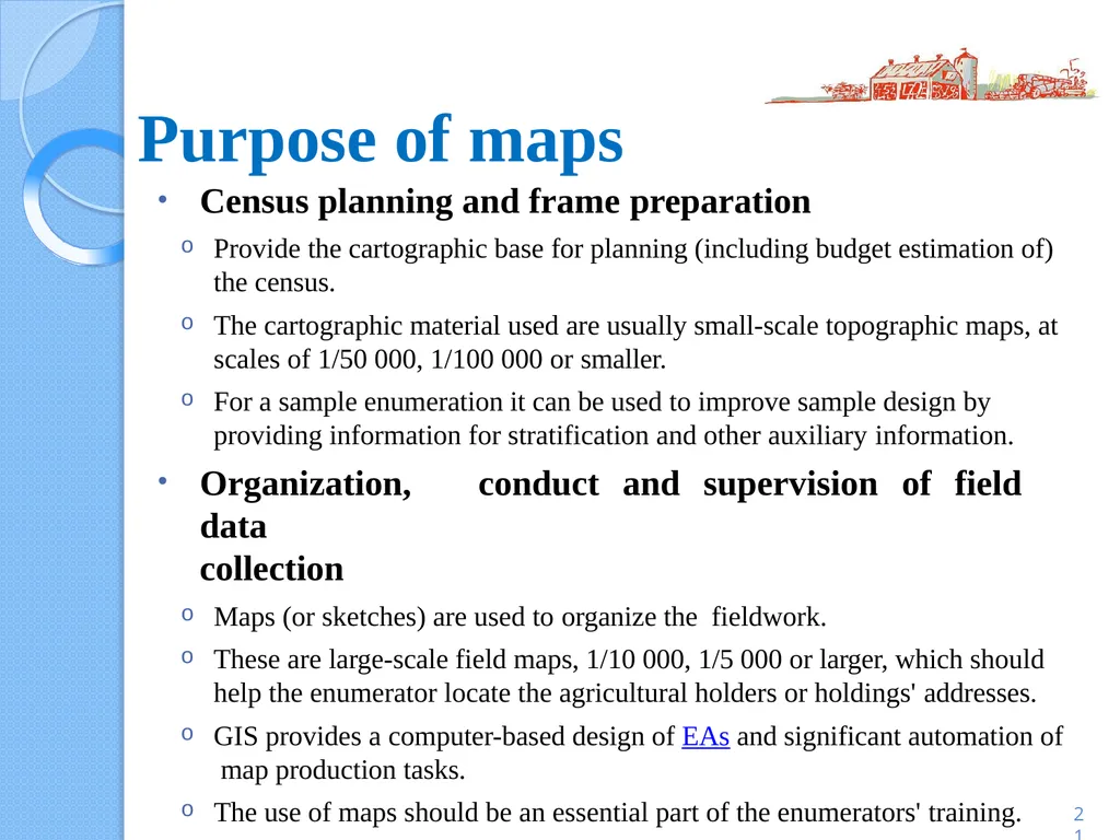
Purpose of maps Census planning and frame preparation
Provide the cartographic base for planning (including budget estimation of) the census.
The cartographic material used are usually small-scale topographic maps, at scales of 1/50 000, 1/100 000 or smaller.
For a sample enumeration it can be used to improve sample design by providing information for stratification and other auxiliary information.
Organization, conduct and supervision of field data
collection
Maps (or sketches) are used to organize the fieldwork.
These are large-scale field maps, 1/10 000, 1/5 000 or larger, which should help the enumerator locate the agricultural holders or holdings' addresses.
GIS provides a computer-based design of EAs and significant automation of map production tasks.
The use of maps should be an essential part of the enumerators' training.
Presentation and analysis of census results 21<br>
29
Types of maps 29 Topographic maps, road maps, cadastral maps, administrative area maps, maps showing the population distribution, aerial photographs and orto-photos, satellite images, space photographs, land cover and land use maps, soil or geologic maps, etc.
PHC EA maps in the form of sketches or digitized and geo-referenced are also frequently used to help delineate the enumerators' areas of work.<br>
PHC EA maps in the form of sketches or digitized and geo-referenced are also frequently used to help delineate the enumerators' areas of work.<br>
30
Cartographic work 30 The cartographic work should be undertaken early in the preparatory census activities. The work should be performed by cartographers and GIS specialists who are part of the core staff of the central AC office.
It should start with the inventory of available geospatial information and maps and the evaluation of their suitability for AC purposes.
A large proportion of the cartographic preparations for an AC consists of delineating and identifying the EAs of work.
In many countries EA maps are prepared as part of the cartographic work of the PHC. In some countries the cartographic work is conducted for both PHC and AC (e.g. Brazil).
Adapting, revising and updating available maps to the census
requirements.<br>
31
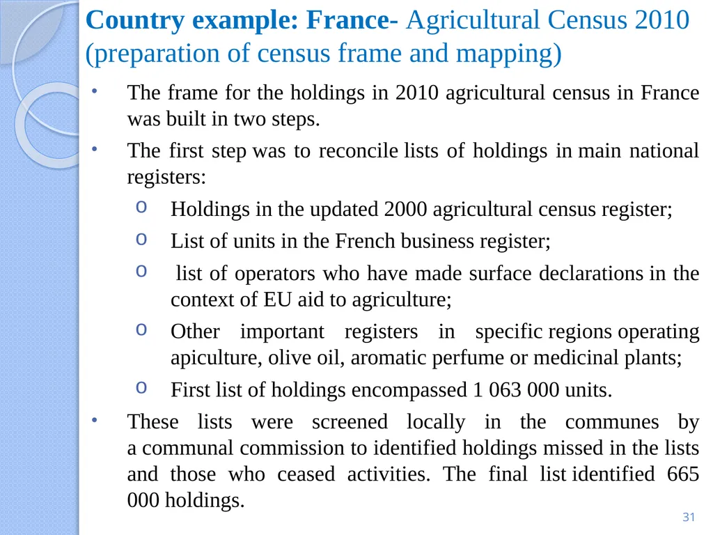
Country example: France- Agricultural Census 2010 (preparation of census frame and mapping) The frame for the holdings in 2010 agricultural census in France was built in two steps.
The first step was to reconcile lists of holdings in main national registers:
Holdings in the updated 2000 agricultural census register;
List of units in the French business register;
list of operators who have made surface declarations in the context of EU aid to agriculture;
Other important registers in specific regions operating apiculture, olive oil, aromatic perfume or medicinal plants;
First list of holdings encompassed 1 063 000 units.
These lists were screened locally in the communes by a communal commission to identified holdings missed in the lists and those who ceased activities. The final list identified 665 000 holdings. 31<br>
32
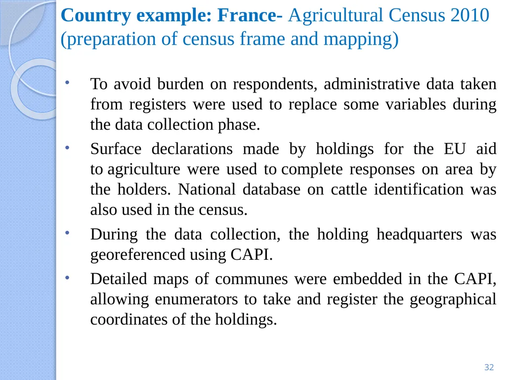
Country example: France- Agricultural Census 2010 (preparation of census frame and mapping) To avoid burden on respondents, administrative data taken from registers were used to replace some variables during the data collection phase.
Surface declarations made by holdings for the EU aid to agriculture were used to complete responses on area by the holders. National database on cattle identification was also used in the census.
During the data collection, the holding headquarters was georeferenced using CAPI.
Detailed maps of communes were embedded in the CAPI, allowing enumerators to take and register the geographical coordinates of the holdings. 32<br>
33
THANK YOU! 33<br>