OGC/WMO Hydrology Domain Working Group David Lemon
Description: OGCWMO Hydrology Domain Working Group David Lemon (CSIRO) Ulrich Looser (GRDCWMO) Ilya Zaslavsky (SDSCCUAHSI) Water - our most valuable asset but ... In many places we cant assess How much we have Where it is Who owns it What it is fit
Related Topics
Download Presentation
"OGC/WMO Hydrology Domain Working Group David Lemon" is the property of its rightful owner. Permission is granted to download and print the materials on this website for personal, non-commercial use only, and to display it on your personal computer provided you do not modify the materials and that you retain all copyright notices contained in the materials. By downloading content from our website, you accept the terms of this agreement.
Presentation Transcript
slide1. OGC/WMO Hydrology Domain Working Group David Lemon (CSIRO)
Ulrich Looser (GRDC/WMO)
Ilya Zaslavsky (SDSC/CUAHSI)<br>
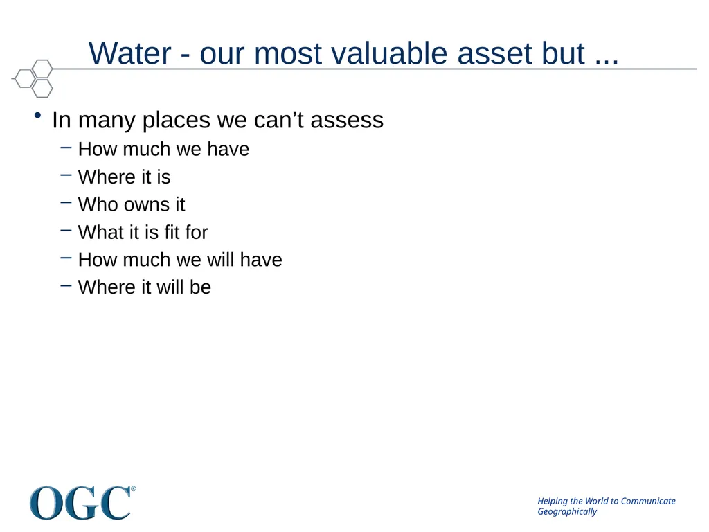
slide2. Water - our most valuable asset but ... In many places we can’t assess
How much we have
Where it is
Who owns it
What it is fit for
How much we will have
Where it will be<br>
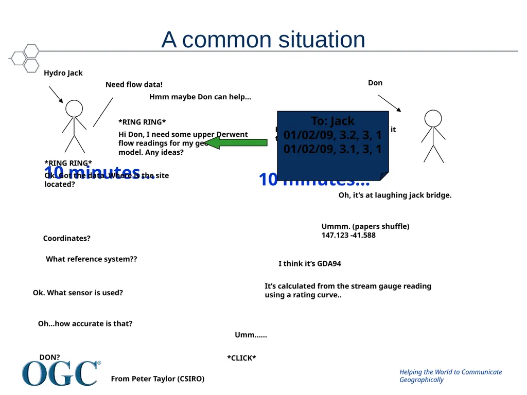
slide3. A common situation Need flow data! Hmm maybe Don can help… *RING RING*
Hi Don, I need some upper Derwent flow readings for my geochemical model. Any ideas? Don Hmm, I’ve got one site. I’ll send it through… 10 minutes… To: Jack
01/02/09, 3.2, 3, 1
01/02/09, 3.1, 3, 1 10 minutes… *RING RING*
Ok. Got the data. Where is the site located? Oh, it’s at laughing jack bridge. Coordinates? Ummm. (papers shuffle)
147.123 -41.588 What reference system?? I think it’s GDA94 Ok. What sensor is used? It’s calculated from the stream gauge reading using a rating curve.. Oh…how accurate is that? Umm...... DON? Hydro Jack *CLICK* From Peter Taylor (CSIRO)<br>
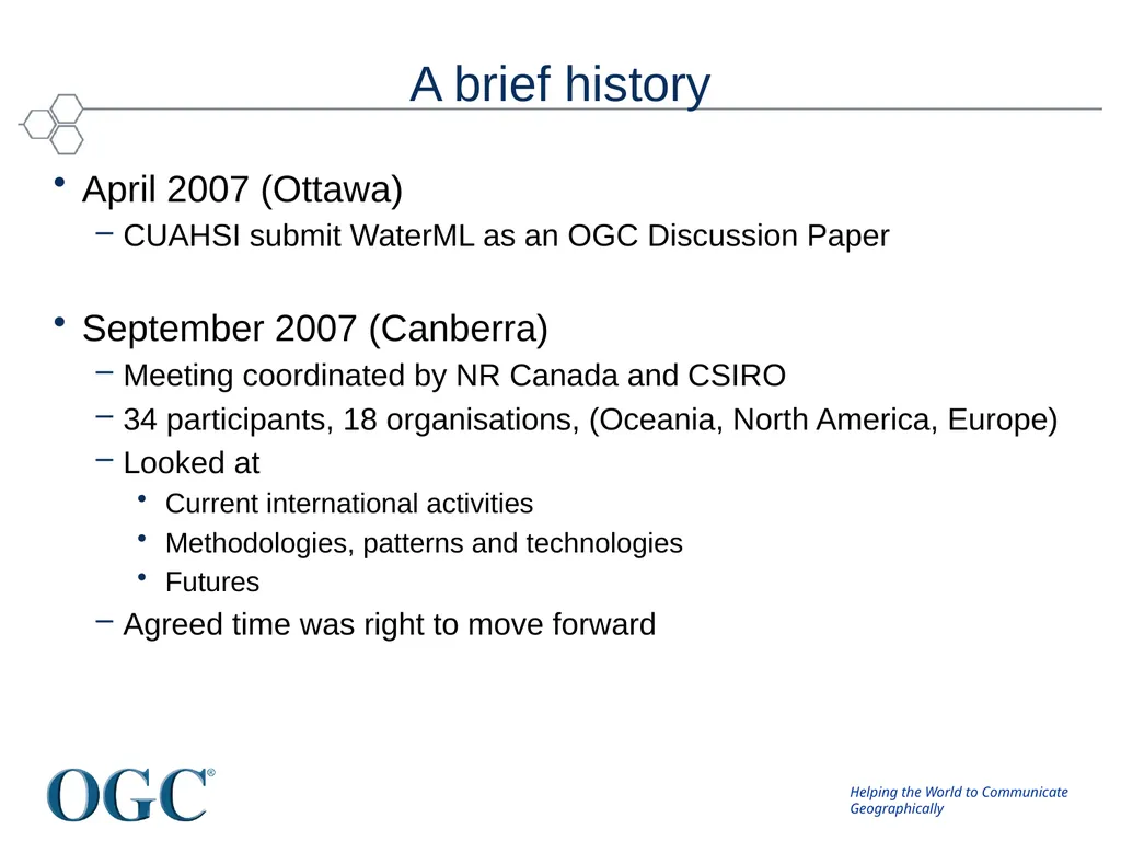
slide4. A brief history April 2007 (Ottawa)
CUAHSI submit WaterML as an OGC Discussion Paper
September 2007 (Canberra)
Meeting coordinated by NR Canada and CSIRO
34 participants, 18 organisations, (Oceania, North America, Europe)
Looked at
Current international activities
Methodologies, patterns and technologies
Futures
Agreed time was right to move forward<br>
slide5. Discussions get serious Early 2008
Much discussion between CUAHSI, OGC, CSIRO and WMO
OGC TC meetings
September 2008 (Atlanta)
Agreed to develop a charter for an OGC DWG
December 2008 (Valencia)
March 2009 (Athens)
OGC\WMO Hydrology Domain Working Group formed.<br>
slide6. Hydrology Domain Working Group A joint working group of the OGC and WMO constituted as an OGC Domain Working Group.
Co-chaired by representatives nominated by the OGC TC and the World Meteorological Organisation’s (WMO) Commission for Hydrology (CHy).
Current Co-Chairs: Ilya Zaslavsky (SDSC), Ulrich Looser (GRDC) and David Lemon (CSIRO)
> 100 Participants, > 40 Organisations<br>
slide7. Charter To provide a venue and mechanism for seeking technical and institutional solutions to the challenge of describing and exchanging data describing the state and location of water resources, both above and below the ground surface.
The path to adoption will be through OGC papers and standards, advanced to ISO where appropriate, and also through the WMO’s CHy and WIS activities.
The Hydrology DWG will provide a means of developing candidate standards for adoption by CHy as appropriate.<br>
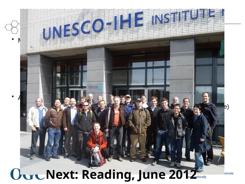
slide8. Annual Workshops March 2010 (Ispra)
24 participants, 19 organisations, (UN, Oceania, Nth America, Europe)
Focussed on:
Current activities
WaterML2.0
Groundwater IE and Surface Water IE planning
Future planning
April 2011 (Delft)
30+ participants, many organisations, (UN, Oceania, Nth America, Europe)
Focussed on:
Reference Architectures
Feature Models
WaterML2.0
Interoperability Experiments Next: Reading, June 2012<br>
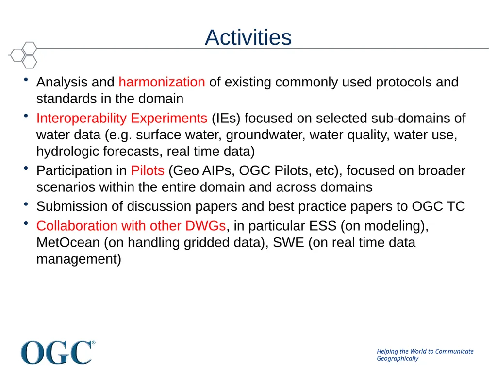
slide9. Activities Analysis and harmonization of existing commonly used protocols and standards in the domain
Interoperability Experiments (IEs) focused on selected sub-domains of water data (e.g. surface water, groundwater, water quality, water use, hydrologic forecasts, real time data)
Participation in Pilots (Geo AIPs, OGC Pilots, etc), focused on broader scenarios within the entire domain and across domains
Submission of discussion papers and best practice papers to OGC TC
Collaboration with other DWGs, in particular ESS (on modeling), MetOcean (on handling gridded data), SWE (on real time data management)<br>
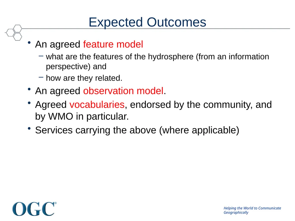
slide10. Expected Outcomes An agreed feature model
what are the features of the hydrosphere (from an information perspective) and
how are they related.
An agreed observation model.
Agreed vocabularies, endorsed by the community, and by WMO in particular.
Services carrying the above (where applicable)<br>
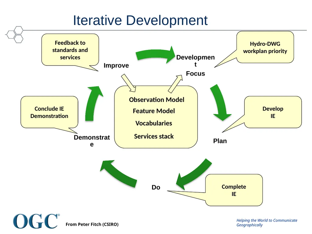
slide11. Iterative Development Hydro-DWG workplan priority Develop
IE Complete
IE Conclude IE
Demonstration Feedback to standards and services Observation Model Feature Model Vocabularies Services stack From Peter Fitch (CSIRO)<br>
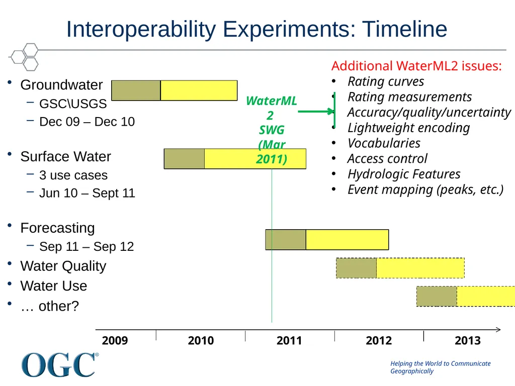
slide12. Interoperability Experiments: Timeline Groundwater
GSC\USGS
Dec 09 – Dec 10
Surface Water
3 use cases
Jun 10 – Sept 11
Forecasting
Sep 11 – Sep 12
Water Quality
Water Use
… other? 2009 2010 2011 2012 2013 Additional WaterML2 issues:
Rating curves
Rating measurements
Accuracy/quality/uncertainty
Lightweight encoding
Vocabularies
Access control
Hydrologic Features
Event mapping (peaks, etc.)<br>
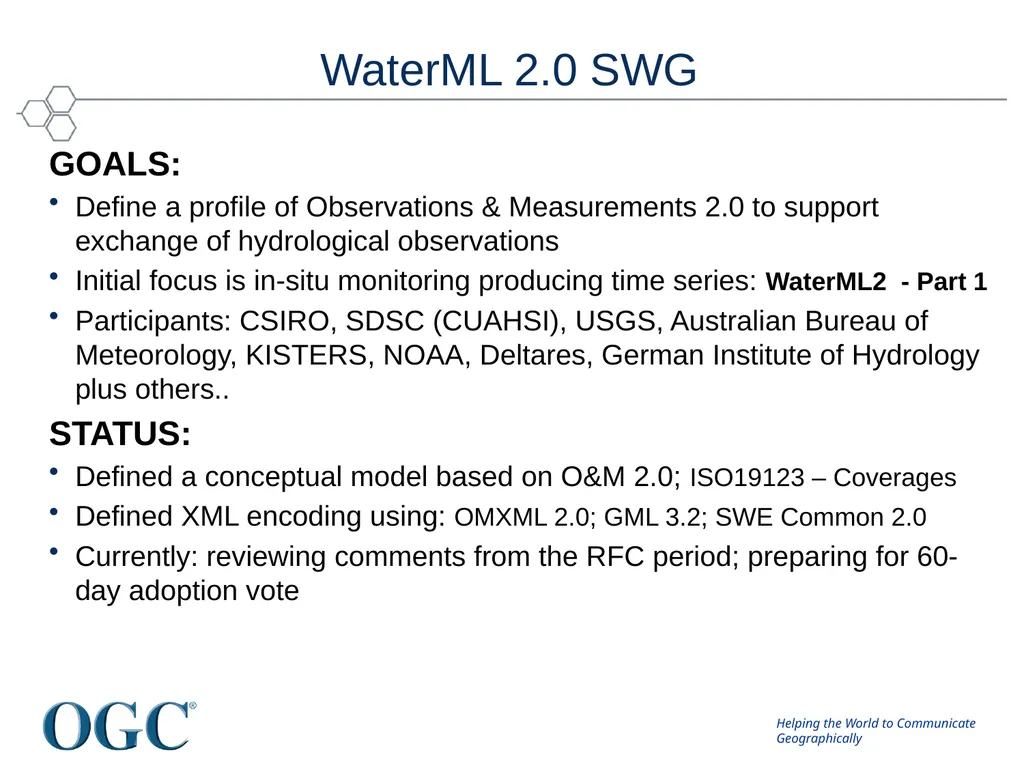
slide13. WaterML 2.0 SWG GOALS:
Define a profile of Observations & Measurements 2.0 to support exchange of hydrological observations
Initial focus is in-situ monitoring producing time series: WaterML2 - Part 1
Participants: CSIRO, SDSC (CUAHSI), USGS, Australian Bureau of Meteorology, KISTERS, NOAA, Deltares, German Institute of Hydrology plus others..
STATUS:
Defined a conceptual model based on O&M 2.0; ISO19123 – Coverages
Defined XML encoding using: OMXML 2.0; GML 3.2; SWE Common 2.0
Currently: reviewing comments from the RFC period; preparing for 60-day adoption vote<br>
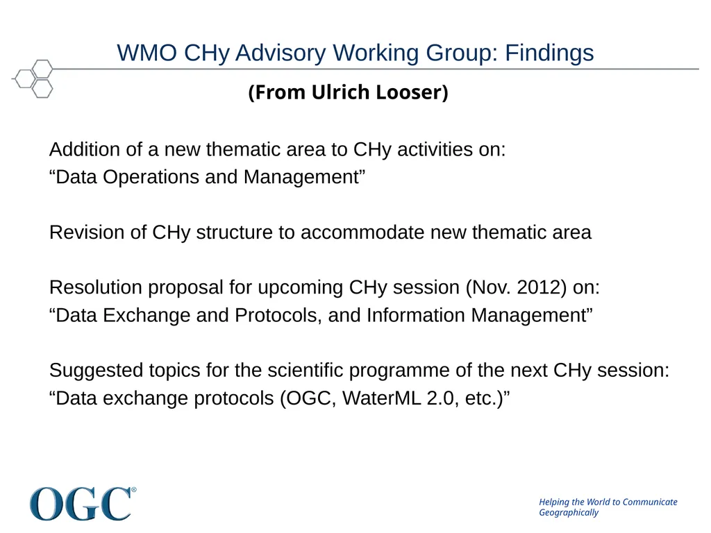
slide14. WMO CHy Advisory Working Group: Findings Addition of a new thematic area to CHy activities on:
“Data Operations and Management”
Revision of CHy structure to accommodate new thematic area
Resolution proposal for upcoming CHy session (Nov. 2012) on:
“Data Exchange and Protocols, and Information Management”
Suggested topics for the scientific programme of the next CHy session:
“Data exchange protocols (OGC, WaterML 2.0, etc.)” (From Ulrich Looser)<br>
slide15. GroundWater IE<br>
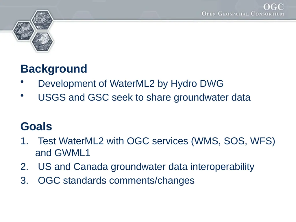
slide16. Background
Development of WaterML2 by Hydro DWG
USGS and GSC seek to share groundwater data
Goals
Test WaterML2 with OGC services (WMS, SOS, WFS) and GWML1
US and Canada groundwater data interoperability
OGC standards comments/changes<br>
slide17. Results
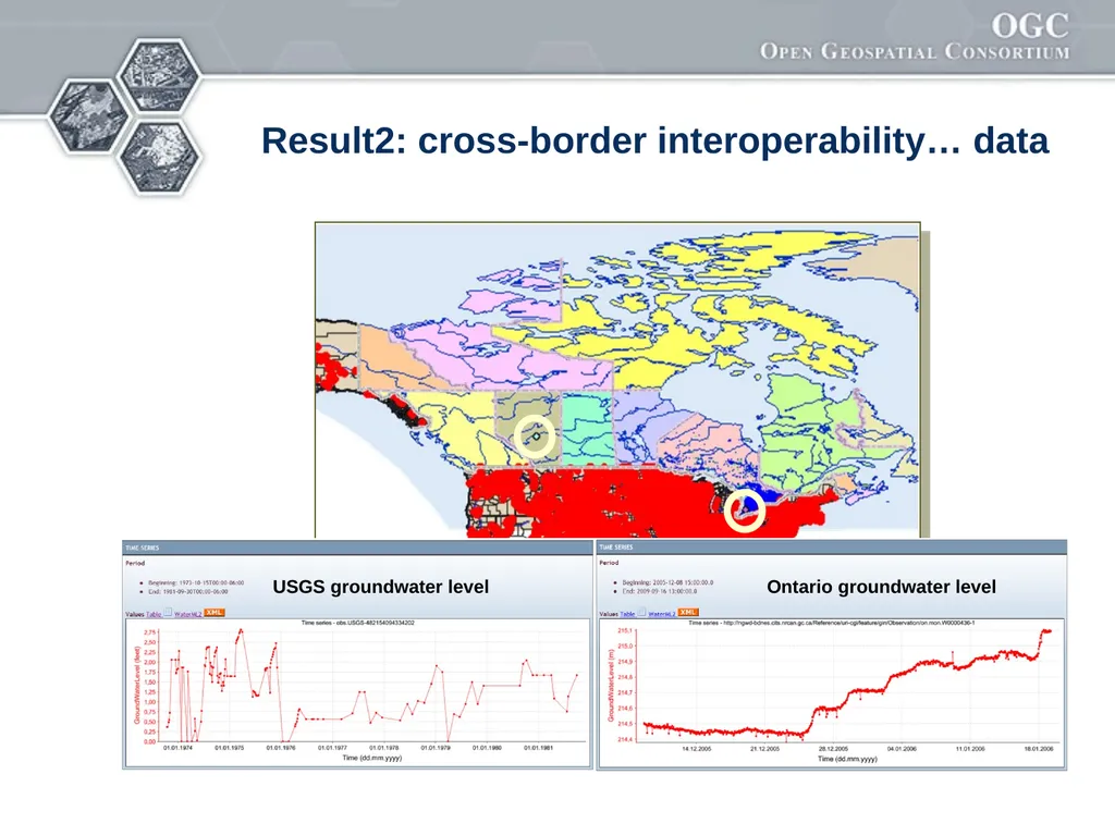
WaterML2 and GWML1 interaction successful
Cross-border data interoperability achieved
Feedback to OGC:
SOS profile elements: 13
WFS profile elements: 3
WaterML2 profile elements: 7
GWML profile elements: 1
Standards recommendations: 9<br>
slide18. Result2: cross-border interoperability… data<br>
slide19. Surface Water IE<br>
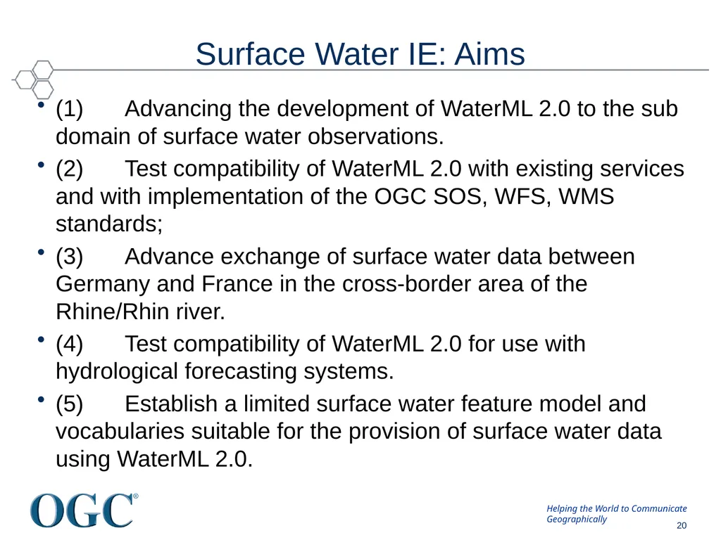
slide20. Surface Water IE: Aims (1) Advancing the development of WaterML 2.0 to the sub domain of surface water observations.
(2) Test compatibility of WaterML 2.0 with existing services and with implementation of the OGC SOS, WFS, WMS standards;
(3) Advance exchange of surface water data between Germany and France in the cross-border area of the Rhine/Rhin river.
(4) Test compatibility of WaterML 2.0 for use with hydrological forecasting systems.
(5) Establish a limited surface water feature model and vocabularies suitable for the provision of surface water data using WaterML 2.0. © 2010 Open Geospatial Consortium, Inc. 20<br>
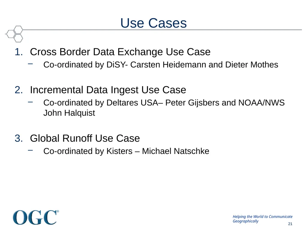
slide21. Use Cases Cross Border Data Exchange Use Case
Co-ordinated by DiSY- Carsten Heidemann and Dieter Mothes
Incremental Data Ingest Use Case
Co-ordinated by Deltares USA– Peter Gijsbers and NOAA/NWS John Halquist
Global Runoff Use Case
Co-ordinated by Kisters – Michael Natschke © 2010 Open Geospatial Consortium, Inc. 21<br>
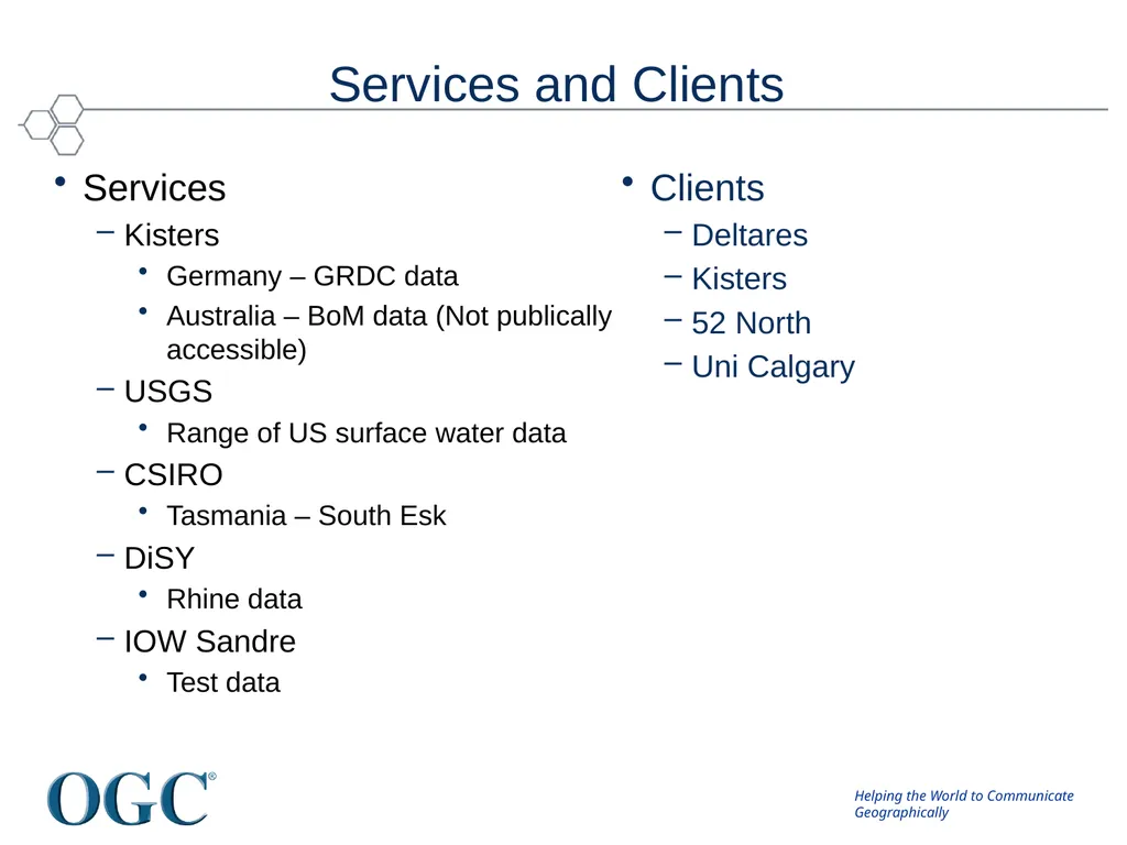
slide22. Services and Clients Services
Kisters
Germany – GRDC data
Australia – BoM data (Not publically accessible)
USGS
Range of US surface water data
CSIRO
Tasmania – South Esk
DiSY
Rhine data
IOW Sandre
Test data Clients
Deltares
Kisters
52 North
Uni Calgary<br>
slide23. Public mailing list https://lists.opengeospatial.org/mailman/listinfo/hydro.dwg
Twiki http://external.opengis.org/twiki_public/bin/view/HydrologyDWG
Thank you ... Get Involved!<br>

Ulrich Looser (GRDC/WMO)
Ilya Zaslavsky (SDSC/CUAHSI)<br>
slide2. Water - our most valuable asset but ... In many places we can’t assess
How much we have
Where it is
Who owns it
What it is fit for
How much we will have
Where it will be<br>
slide3. A common situation Need flow data! Hmm maybe Don can help… *RING RING*
Hi Don, I need some upper Derwent flow readings for my geochemical model. Any ideas? Don Hmm, I’ve got one site. I’ll send it through… 10 minutes… To: Jack
01/02/09, 3.2, 3, 1
01/02/09, 3.1, 3, 1 10 minutes… *RING RING*
Ok. Got the data. Where is the site located? Oh, it’s at laughing jack bridge. Coordinates? Ummm. (papers shuffle)
147.123 -41.588 What reference system?? I think it’s GDA94 Ok. What sensor is used? It’s calculated from the stream gauge reading using a rating curve.. Oh…how accurate is that? Umm...... DON? Hydro Jack *CLICK* From Peter Taylor (CSIRO)<br>
slide4. A brief history April 2007 (Ottawa)
CUAHSI submit WaterML as an OGC Discussion Paper
September 2007 (Canberra)
Meeting coordinated by NR Canada and CSIRO
34 participants, 18 organisations, (Oceania, North America, Europe)
Looked at
Current international activities
Methodologies, patterns and technologies
Futures
Agreed time was right to move forward<br>
slide5. Discussions get serious Early 2008
Much discussion between CUAHSI, OGC, CSIRO and WMO
OGC TC meetings
September 2008 (Atlanta)
Agreed to develop a charter for an OGC DWG
December 2008 (Valencia)
March 2009 (Athens)
OGC\WMO Hydrology Domain Working Group formed.<br>
slide6. Hydrology Domain Working Group A joint working group of the OGC and WMO constituted as an OGC Domain Working Group.
Co-chaired by representatives nominated by the OGC TC and the World Meteorological Organisation’s (WMO) Commission for Hydrology (CHy).
Current Co-Chairs: Ilya Zaslavsky (SDSC), Ulrich Looser (GRDC) and David Lemon (CSIRO)
> 100 Participants, > 40 Organisations<br>
slide7. Charter To provide a venue and mechanism for seeking technical and institutional solutions to the challenge of describing and exchanging data describing the state and location of water resources, both above and below the ground surface.
The path to adoption will be through OGC papers and standards, advanced to ISO where appropriate, and also through the WMO’s CHy and WIS activities.
The Hydrology DWG will provide a means of developing candidate standards for adoption by CHy as appropriate.<br>
slide8. Annual Workshops March 2010 (Ispra)
24 participants, 19 organisations, (UN, Oceania, Nth America, Europe)
Focussed on:
Current activities
WaterML2.0
Groundwater IE and Surface Water IE planning
Future planning
April 2011 (Delft)
30+ participants, many organisations, (UN, Oceania, Nth America, Europe)
Focussed on:
Reference Architectures
Feature Models
WaterML2.0
Interoperability Experiments Next: Reading, June 2012<br>
slide9. Activities Analysis and harmonization of existing commonly used protocols and standards in the domain
Interoperability Experiments (IEs) focused on selected sub-domains of water data (e.g. surface water, groundwater, water quality, water use, hydrologic forecasts, real time data)
Participation in Pilots (Geo AIPs, OGC Pilots, etc), focused on broader scenarios within the entire domain and across domains
Submission of discussion papers and best practice papers to OGC TC
Collaboration with other DWGs, in particular ESS (on modeling), MetOcean (on handling gridded data), SWE (on real time data management)<br>
slide10. Expected Outcomes An agreed feature model
what are the features of the hydrosphere (from an information perspective) and
how are they related.
An agreed observation model.
Agreed vocabularies, endorsed by the community, and by WMO in particular.
Services carrying the above (where applicable)<br>
slide11. Iterative Development Hydro-DWG workplan priority Develop
IE Complete
IE Conclude IE
Demonstration Feedback to standards and services Observation Model Feature Model Vocabularies Services stack From Peter Fitch (CSIRO)<br>
slide12. Interoperability Experiments: Timeline Groundwater
GSC\USGS
Dec 09 – Dec 10
Surface Water
3 use cases
Jun 10 – Sept 11
Forecasting
Sep 11 – Sep 12
Water Quality
Water Use
… other? 2009 2010 2011 2012 2013 Additional WaterML2 issues:
Rating curves
Rating measurements
Accuracy/quality/uncertainty
Lightweight encoding
Vocabularies
Access control
Hydrologic Features
Event mapping (peaks, etc.)<br>
slide13. WaterML 2.0 SWG GOALS:
Define a profile of Observations & Measurements 2.0 to support exchange of hydrological observations
Initial focus is in-situ monitoring producing time series: WaterML2 - Part 1
Participants: CSIRO, SDSC (CUAHSI), USGS, Australian Bureau of Meteorology, KISTERS, NOAA, Deltares, German Institute of Hydrology plus others..
STATUS:
Defined a conceptual model based on O&M 2.0; ISO19123 – Coverages
Defined XML encoding using: OMXML 2.0; GML 3.2; SWE Common 2.0
Currently: reviewing comments from the RFC period; preparing for 60-day adoption vote<br>
slide14. WMO CHy Advisory Working Group: Findings Addition of a new thematic area to CHy activities on:
“Data Operations and Management”
Revision of CHy structure to accommodate new thematic area
Resolution proposal for upcoming CHy session (Nov. 2012) on:
“Data Exchange and Protocols, and Information Management”
Suggested topics for the scientific programme of the next CHy session:
“Data exchange protocols (OGC, WaterML 2.0, etc.)” (From Ulrich Looser)<br>
slide15. GroundWater IE<br>
slide16. Background
Development of WaterML2 by Hydro DWG
USGS and GSC seek to share groundwater data
Goals
Test WaterML2 with OGC services (WMS, SOS, WFS) and GWML1
US and Canada groundwater data interoperability
OGC standards comments/changes<br>
slide17. Results
WaterML2 and GWML1 interaction successful
Cross-border data interoperability achieved
Feedback to OGC:
SOS profile elements: 13
WFS profile elements: 3
WaterML2 profile elements: 7
GWML profile elements: 1
Standards recommendations: 9<br>
slide18. Result2: cross-border interoperability… data<br>
slide19. Surface Water IE<br>
slide20. Surface Water IE: Aims (1) Advancing the development of WaterML 2.0 to the sub domain of surface water observations.
(2) Test compatibility of WaterML 2.0 with existing services and with implementation of the OGC SOS, WFS, WMS standards;
(3) Advance exchange of surface water data between Germany and France in the cross-border area of the Rhine/Rhin river.
(4) Test compatibility of WaterML 2.0 for use with hydrological forecasting systems.
(5) Establish a limited surface water feature model and vocabularies suitable for the provision of surface water data using WaterML 2.0. © 2010 Open Geospatial Consortium, Inc. 20<br>
slide21. Use Cases Cross Border Data Exchange Use Case
Co-ordinated by DiSY- Carsten Heidemann and Dieter Mothes
Incremental Data Ingest Use Case
Co-ordinated by Deltares USA– Peter Gijsbers and NOAA/NWS John Halquist
Global Runoff Use Case
Co-ordinated by Kisters – Michael Natschke © 2010 Open Geospatial Consortium, Inc. 21<br>
slide22. Services and Clients Services
Kisters
Germany – GRDC data
Australia – BoM data (Not publically accessible)
USGS
Range of US surface water data
CSIRO
Tasmania – South Esk
DiSY
Rhine data
IOW Sandre
Test data Clients
Deltares
Kisters
52 North
Uni Calgary<br>
slide23. Public mailing list https://lists.opengeospatial.org/mailman/listinfo/hydro.dwg
Twiki http://external.opengis.org/twiki_public/bin/view/HydrologyDWG
Thank you ... Get Involved!<br>