
Ongoing work on the add-on for land representation


Description: Ongoing work on the add-on for land representation to the IPCC Inventory Software Technical Challenges and Opportunities for Cooperation GEO-GFOI Virtual Workshop Exploring new tools in SEPAL to assess land use and land cover changes,
Related Topics
Download Presentation
"Ongoing work on the add-on for land representation" is the property of its rightful owner. Permission is granted to download and print the materials on this website for personal, non-commercial use only, and to display it on your personal computer provided you do not modify the materials and that you retain all copyright notices contained in the materials. By downloading content from our website, you accept the terms of this agreement.
Presentation Transcript
slide1. Ongoing work on the add-on for land representation to the IPCC Inventory Software –
Technical Challenges and Opportunities for Cooperation GEO-GFOI Virtual Workshop "Exploring new tools in SEPAL to assess land use and land cover changes, and produce GHG emission estimates
16-17 June 2021, Virtual
Dr Carly Green consultant to IPCC TFI TSU<br>
slide2. Outline<br>
slide3. IPCC Inventory Software - Background Released in 2012 by the IPCC Task Force on National Greenhouse Gas Inventories (IPCC TFI) to assist inventory compilers in using the 2006 IPCC Guidelines
Based on MS-Access for WindowsOS
FREE to use
(download at https://www.ipcc-nggip.iges.or.jp/software/index.html)<br>
slide4. IPCC Inventory Software - Background IPCC Inventory Software
allows the preparation of estimates of GHG emissions and removals for all IPCC categories across all sectors in the National GHG Inventory
for the AFOLU sector it provides estimates of GHG emissions and removals at the level of each unit of land (from 1 to many)
It does not support data collection
Although land data availability is always pointed out as a critical gap for NGHGI compilers<br>
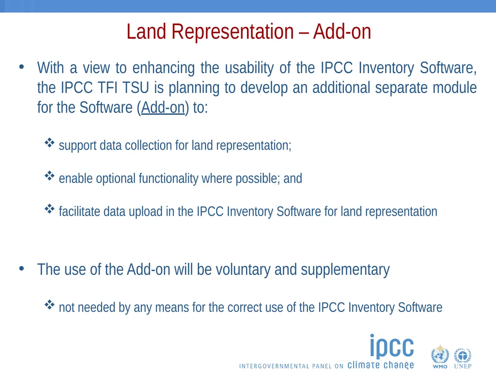
slide5. Land Representation – Add-on With a view to enhancing the usability of the IPCC Inventory Software, the IPCC TFI TSU is planning to develop an additional separate module for the Software (Add-on) to:
support data collection for land representation;
enable optional functionality where possible; and
facilitate data upload in the IPCC Inventory Software for land representation
The use of the Add-on will be voluntary and supplementary
not needed by any means for the correct use of the IPCC Inventory Software<br>
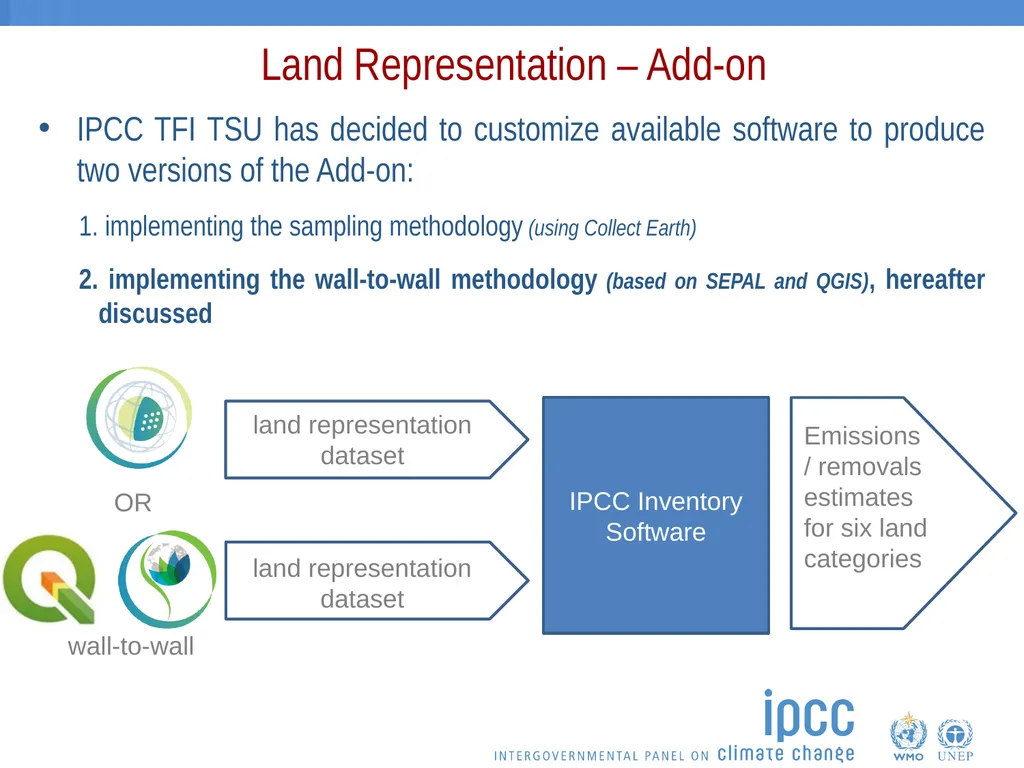
slide6. Land Representation – Add-on IPCC TFI TSU has decided to customize available software to produce two versions of the Add-on:
implementing the sampling methodology (using Collect Earth)
implementing the wall-to-wall methodology (based on SEPAL and QGIS), hereafter discussed<br>
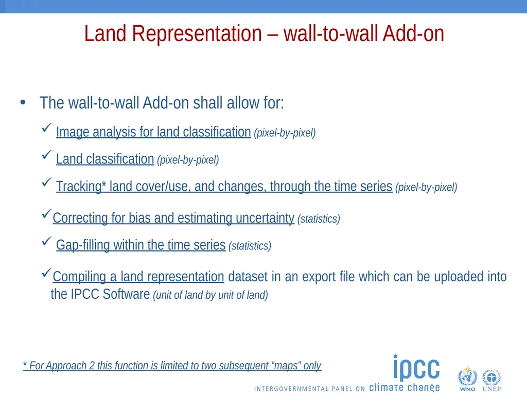
slide7. Land Representation – wall-to-wall Add-on The wall-to-wall Add-on shall allow for:
Image analysis for land classification (pixel-by-pixel)
Land classification (pixel-by-pixel)
Tracking* land cover/use, and changes, through the time series (pixel-by-pixel)
Correcting for bias and estimating uncertainty (statistics)
Gap-filling within the time series (statistics)
Compiling a land representation dataset in an export file which can be uploaded into the IPCC Software (unit of land by unit of land) * For Approach 2 this function is limited to two subsequent “maps” only<br>
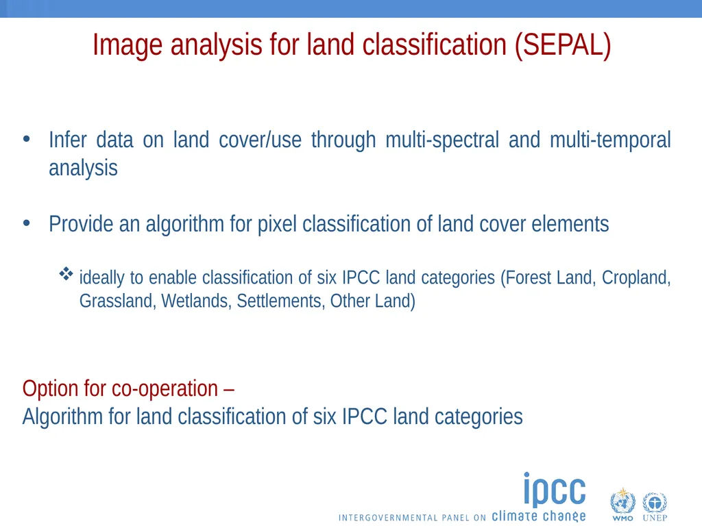
slide8. Image analysis for land classification (SEPAL) Infer data on land cover/use through multi-spectral and multi-temporal analysis
Provide an algorithm for pixel classification of land cover elements
ideally to enable classification of six IPCC land categories (Forest Land, Cropland, Grassland, Wetlands, Settlements, Other Land) Option for co-operation –
Algorithm for land classification of six IPCC land categories<br>
slide9. Land classification (SEPAL) Providing logical rules to aggregate and classify pixels according to IPCC land categories definitions
Allowing the addition of user-specific subcategories
Enable delineating unmanaged land<br>
slide10. Tracking land cover/use, and changes (QGIS) Stratifying each pixel based on historical land use information
Enable options to stratify by subcategory
User input options for transition period (in years) for each conversion type
By default the transition period shall be set to 20 years.
Pixels to be aggregated in units of land to produce annual matrices
Either as Approach 2 or Approach 3<br>
slide11. Correcting for Bias (QGIS?) Estimating and eliminating bias as far as can be judged
Bias in “maps” can be assessed either through
Model-assisted generalized regression (GREG)?
Confusion matrix?
Methodology will lead to:
the production of a bias-corrected statistic on land cover/use and change; or
the option to extract the data and proceed with a different method for eliminating bias. Option for co-operation –
Compatible method for model assisted generalized regression to estimate and eliminate bias as far as can be judged<br>
slide12. Gap-filling time series (QGIS?) The option provided will be built according to the 2019 Refinement (Volume 1, chapter 5 on Time Series Consistency)
Optional functionality as countries may also have own method<br>
slide13. Compile a land representation dataset Provide time series of information for each unit of land
Export format compatible with single upload to the IPCC Inventory Software<br>
slide14. Opportunities for co-operation Developing the Technical Specification in collaboration with FAO
Algorithm for land classification of six IPCC land categories
Compatible method for model assisted generalized regression to estimate and eliminate bias as far as can be judged<br>
slide15. Thank you https://www.ipcc-nggip.iges.or.jp/<br>
16-17 June 2021, Virtual
Dr Carly Green consultant to IPCC TFI TSU<br>
slide2. Outline<br>
slide3. IPCC Inventory Software - Background Released in 2012 by the IPCC Task Force on National Greenhouse Gas Inventories (IPCC TFI) to assist inventory compilers in using the 2006 IPCC Guidelines
Based on MS-Access for WindowsOS
FREE to use
(download at https://www.ipcc-nggip.iges.or.jp/software/index.html)<br>
slide4. IPCC Inventory Software - Background IPCC Inventory Software
allows the preparation of estimates of GHG emissions and removals for all IPCC categories across all sectors in the National GHG Inventory
for the AFOLU sector it provides estimates of GHG emissions and removals at the level of each unit of land (from 1 to many)
It does not support data collection
Although land data availability is always pointed out as a critical gap for NGHGI compilers<br>
slide5. Land Representation – Add-on With a view to enhancing the usability of the IPCC Inventory Software, the IPCC TFI TSU is planning to develop an additional separate module for the Software (Add-on) to:
support data collection for land representation;
enable optional functionality where possible; and
facilitate data upload in the IPCC Inventory Software for land representation
The use of the Add-on will be voluntary and supplementary
not needed by any means for the correct use of the IPCC Inventory Software<br>
slide6. Land Representation – Add-on IPCC TFI TSU has decided to customize available software to produce two versions of the Add-on:
implementing the sampling methodology (using Collect Earth)
implementing the wall-to-wall methodology (based on SEPAL and QGIS), hereafter discussed<br>
slide7. Land Representation – wall-to-wall Add-on The wall-to-wall Add-on shall allow for:
Image analysis for land classification (pixel-by-pixel)
Land classification (pixel-by-pixel)
Tracking* land cover/use, and changes, through the time series (pixel-by-pixel)
Correcting for bias and estimating uncertainty (statistics)
Gap-filling within the time series (statistics)
Compiling a land representation dataset in an export file which can be uploaded into the IPCC Software (unit of land by unit of land) * For Approach 2 this function is limited to two subsequent “maps” only<br>
slide8. Image analysis for land classification (SEPAL) Infer data on land cover/use through multi-spectral and multi-temporal analysis
Provide an algorithm for pixel classification of land cover elements
ideally to enable classification of six IPCC land categories (Forest Land, Cropland, Grassland, Wetlands, Settlements, Other Land) Option for co-operation –
Algorithm for land classification of six IPCC land categories<br>
slide9. Land classification (SEPAL) Providing logical rules to aggregate and classify pixels according to IPCC land categories definitions
Allowing the addition of user-specific subcategories
Enable delineating unmanaged land<br>
slide10. Tracking land cover/use, and changes (QGIS) Stratifying each pixel based on historical land use information
Enable options to stratify by subcategory
User input options for transition period (in years) for each conversion type
By default the transition period shall be set to 20 years.
Pixels to be aggregated in units of land to produce annual matrices
Either as Approach 2 or Approach 3<br>
slide11. Correcting for Bias (QGIS?) Estimating and eliminating bias as far as can be judged
Bias in “maps” can be assessed either through
Model-assisted generalized regression (GREG)?
Confusion matrix?
Methodology will lead to:
the production of a bias-corrected statistic on land cover/use and change; or
the option to extract the data and proceed with a different method for eliminating bias. Option for co-operation –
Compatible method for model assisted generalized regression to estimate and eliminate bias as far as can be judged<br>
slide12. Gap-filling time series (QGIS?) The option provided will be built according to the 2019 Refinement (Volume 1, chapter 5 on Time Series Consistency)
Optional functionality as countries may also have own method<br>
slide13. Compile a land representation dataset Provide time series of information for each unit of land
Export format compatible with single upload to the IPCC Inventory Software<br>
slide14. Opportunities for co-operation Developing the Technical Specification in collaboration with FAO
Algorithm for land classification of six IPCC land categories
Compatible method for model assisted generalized regression to estimate and eliminate bias as far as can be judged<br>
slide15. Thank you https://www.ipcc-nggip.iges.or.jp/<br>