REMOTE SENSING MEANING AND PROCESS Remote sensing is the acquisition of information about an object or phenomenon without making physical contact with the object, in contrast to in-situ or on-site observation. The term is applied especially
"REMOTE SENSING MEANING AND PROCESS Remote sensing" is the property of its rightful owner. Permission is granted to
download and print the materials on this website for personal, non-commercial use only, and to display it
on your personal computer provided you do not modify the materials and that you retain all copyright
notices contained in the materials. By downloading content from our website, you accept the terms of this
agreement.
Presentation Transcript
01
REMOTE SENSING MEANING AND PROCESS<br>
02
Remote sensing is the acquisition of information about an object or phenomenon without making physical contact with the object, in contrast to in-situ or on-site observation. The term is applied especially to acquiring information about the Earth and other planets
. Remote sensing is used in numerous fields, including geography, land surveying and most Earth science disciplines (for example, hydrology, , meteorology, oceanography, glaciology, geology); it also has military, intelligence, commercial, economic, planning, and humanitarian applications, among others.
In current usage, the term "remote sensing" generally refers to the use of satellite or aircraft-based sensor technologies to detect and classify objects on Earth. It may be split into "active" remote sensing (when a signal is emitted by a satellite or aircraft to the object and its reflection detected by the sensor) and "passive" remote sensing (when the reflection of sunlight is detected by the sensor.<br>
03
A Brief History of Remote Sensing
The science of remote sensing began in 1858 when Gaspard-Felix Tournachon first took aerial photographs of Paris from a hot air balloon. One of the first planned uses of remote sensing in its most basic form was during the civil war when messenger pigeons, kites, and unmanned balloons were flown over enemy territory with cameras attached to them.
The first government-organized air photography missions were developed for military surveillance during World Wars I and II. However, it was during the Cold War that remote sensing was most widely used. This field of study has developed since its beginning to become the highly-sophisticated method of indirect information acquisition that it is today.<br>
04
Satellites were developed during the late 20th century and are still used to gain information on a global scale, even about planets in the solar system. The Magellan probe, for example, is a satellite that has been using remote sensing technologies to create topographic maps of Venus since May 4th of 1989.
Today, small remote sensors such as cameras and satellites are used by law enforcement and the military in both manned and unmanned platforms to gain information about an area.<br>
05
Elements Involved in Remote Sensing
Energy Source or Illumination (A)
Radiation and the Atmosphere (B)
Interaction with the Object (C)
Recording of Energy by the Sensor (D)
Transmission, Reception and Processing (E)
Interpretation and Analysis (F)
Application (G)<br>
06
1. Energy Source or Illumination (A) - the first requirement for remote sensing is to have an energy source which illuminates or provides electromagnetic energy to the target of interest.
2. Radiation and the Atmosphere (B) - as the energy travels from its source to the target, it will come in contact with and interact with the atmosphere it passes through. This interaction may take place a second time as the energy travels from the target to the sensor.
3. Interaction with the Target (C) - once the energy makes its way to the target through the atmosphere, it interacts with the target depending on the properties of both the target and the radiation.<br>
07
4. Recording of Energy by the Sensor (D) - after the energy has been scattered by, or emitted from the target, we require a sensor (remote - not in contact with the target) to collect and record the electromagnetic radiation.
5. Transmission, Reception, and Processing (E) - the energy recorded by the sensor has to be transmitted, often in electronic form, to a receiving and processing station where the data are processed into an image (hardcopy and/or digital).
6. Interpretation and Analysis (F) - the processed image is interpreted, visually and/or digitally or electronically, to extract information about the target which was illuminated.
7. Application (G) - the final element of the remote sensing process is achieved when we apply the information we have been able to extract from the imagery about the target in order to better understand it, reveal some new information, or assist in solving a particular problem.<br>
08
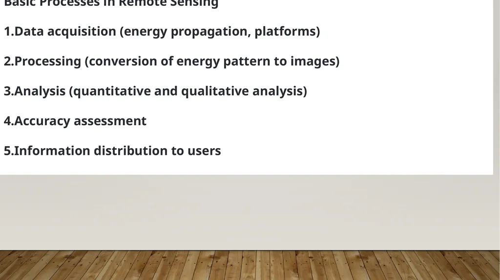
Basic Processes in Remote Sensing
Data acquisition (energy propagation, platforms)
Processing (conversion of energy pattern to images)
Analysis (quantitative and qualitative analysis)
Accuracy assessment
Information distribution to users<br>
09
APPLICATIONS OF REMOTE SENSING
Agriculture: Remote sensing is also helpful when studying vegetation. Photographs taken remotely allow biogeographers, ecologists, agriculturalists, and foresters to easily detect what vegetation is present in an area as well as its growth potential and conditions optimal for survival.
Land-use planning: Those studying land development can apply remote sensing to studying and regulating land usages over wide expanses. The data obtained can be used for city planning and the modification of the environment more generally.
Geographic information system mapping (GIS): Remote sensing images are used as the input data for raster-based digital elevation models or DEMs. Air photos utilized through GIS can be digitized into polygons that are later put into shapefiles for mapmaking.<br>