PPT-Lithosphere:
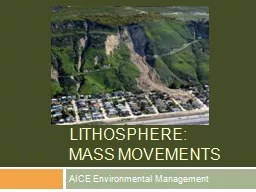
Mass Movements AICE Environmental Management United States landslide incidence and susceptibility map National Atlas of the United States Mass Movements La Conchita
Download Presentation
"Lithosphere:" is the property of its rightful owner. Permission is granted to download and print materials on this website for personal, non-commercial use only, provided you retain all copyright notices. By downloading content from our website, you accept the terms of this agreement.
Presentation Transcript
Transcript not available.