/
Legacy Contamination Public Engagement Meeting Legacy Contamination Public Engagement Meeting

Legacy Contamination Public Engagement Meeting - PowerPoint Presentation

Daredevil
Daredevil . @Daredevil
Follow
342 views
Uploaded On 2022-08-04

Legacy Contamination Public Engagement Meeting - PPT Presentation

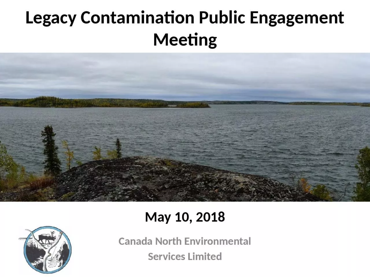
Canada North Environmental Services Limited May 10 2018 Background The Government of Northwest Territories GNWT and Indigenous and Northern Affairs Canada INAC are working together to address the legacy arsenic contamination concerns around ID: 935206

lake data shadow stack data lake stack shadow limited area samples lakes water giant inland gaps fish arsenic areas

Share:

Link:

Embed:

Download Presentation from below link

Download Presentation The PPT/PDF document "Legacy Contamination Public Engagement M..." is the property of its rightful owner. Permission is granted to download and print the materials on this web site for personal, non-commercial use only, and to display it on your personal computer provided you do not modify the materials and that you retain all copyright notices contained in the materials. By downloading content from our website, you accept the terms of this agreement.


Presentation Transcript

Slide1

Legacy Contamination Public Engagement Meeting

Canada North EnvironmentalServices Limited

May

10,

2018

Slide2

Background

The Government of Northwest Territories (GNWT) and Indigenous and Northern Affairs Canada (INAC) are working together to address the legacy arsenic contamination concerns around Yellowknife:Canada North Environmental Services (CanNorth) is carrying out a human health risk

assessment (HHRA) for the stack shadow area of the Giant Mine, primarily to the west and northwest of the site.CanNorth previously worked on the Giant Mine human health and ecological risk assessment (HHERA).2

Slide3

Stack Shadow Area

Developed from:Wind direction: predominant wind direction from the east and southMonitoring data: concentrations in environmental media are essentially at background at a distance of 25 km from the Giant Mine

Water health advisory: considered mapping developed by GNWT Health to capture elevated arsenic concentrations in inland lakesDistance: considered distances within a 10 km and 25 km radius of the Giant Mine3

Slide4

Additional Areas Considered

Inland lakes with cabins added to the scope of the projectRyan, Vee, and Walsh lakes – essentially within the stack shadow areaBanting, Prosperous, River, Prelude, and Pontoon lakes – outside the stack shadow area

4

Slide5

Assessment Area

5

Slide6

Constituents of Potential Concern

2018 HHERA for Giant Mine found that antimony and arsenic were the key constituents of potential concern (COPC)Confirmed by soil screening of data from stack shadow area

Mercury could be elevated in sediments of inland lakesNot a COPC associated with Giant MineMercury concentrations are elevated in water due to sulphate from emissions from the roasterAccumulates in fishMercury added to list

6

Slide7

Data Gaps Analysis

Summarized available data from off-site Giant Mine, focusing on the stack shadow area and around inland lakes with cabinsAquatic environment: surface water, sediment, fish

Terrestrial environment: soil, berries, mushrooms, wild plants (medicinal)Wild game: birds, waterfowl, moose, small mammalsIdentified any data gaps for completing the HHRA7

Slide8

Arsenic Levels in Soils

8

Slide9

Arsenic Levels in Water and Sediment

9

Slide10

Data Gaps – Inland Lakes within the Stack Shadow

10

Medium

Adequate Samples?

Soil

Yes – More than 200 samples available

Surface Water

Yes – More than 80 samples available

Sediment

Yes – About 70 samples available

Fish

No – Data only available for Lower Martin Lake

Berries

Limited samples within the stack shadow area

Mushrooms

Yes – More than 30 samples available

Medicinal Plants

Limited samples within the stack shadow area

Wild Game

Limited samples within the stack

shadow area

Slide11

Data Gaps – Lakes with Cabins

11

Lake

Adequate Samples?

Soil

Surface Water

Sediment

Fish

Vee

Lake

Yes

Limited - 2

Limited - 1

No data

Walsh Lake

Yes

Limited - 1

Limited - 1

No data

Banting Lake

Yes

No data

No data

No data

Prosperous Lake

Yes

Yes

No data

No data

Prelude Lake

Yes

No data

No data

No data

Ryan Lake

Yes

Yes

Limited - 2

No data

River Lake

No data

No data

No data

No data

Pontoon Lake

Yes

Limited - 2

Yes

No data

Slide12

How Will Data Gaps be Filled?

FishNeed a more robust data setUniversity of Ottawa conducted a fish study in a number of inland lakes including Long Lake, Lower Martin Lake, Walsh Lake, Banting Lake, and Chitty LakeVoluntary community fish sampling program in summer of 2018

Water and sedimentNeed a more robust data set for lakes with cabinsSamples will be collected in summer of 201812

Slide13

What Information Do We Need Today?

What areas do you go to?How long do you spend in these areas?How do you use these areas?Going to a cabin, boating, fishing, hunting, etc.Do you swim or wade in the lakes?

Do you hike in the area within the stack shadow?13

Slide14

How Will We Get the Information?

Form smaller groups of peopleWe will ask some questions to the group We will ask you to mark on a map the areas that you useThis will all take about half an hour or so There is also an on-line questionnaire if you prefer

14

Slide15

Thank-you