PPT-Radar Remote Sensing
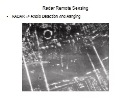
RADAR gt RA dio D etection A nd R anging Radar Remote Sensing Active remote sensing system using 1 cm to 1m wavelengths microwaves Microwave Atmospheric Window Radar
Download Presentation
"Radar Remote Sensing" is the property of its rightful owner. Permission is granted to download and print materials on this website for personal, non-commercial use only, provided you retain all copyright notices. By downloading content from our website, you accept the terms of this agreement.
Presentation Transcript
Transcript not available.