PPT-Radar Remote Sensing RADAR =>
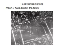
RA dio D etection A nd R anging Radar Remote Sensing Active remote sensing system using 1 cm to 1m wavelengths microwaves Microwave Atmospheric Window Radar Systems
Download Presentation
"Radar Remote Sensing RADAR =>" is the property of its rightful owner. Permission is granted to download and print materials on this website for personal, non-commercial use only, provided you retain all copyright notices. By downloading content from our website, you accept the terms of this agreement. Download
Presentation Transcript
Transcript not available.