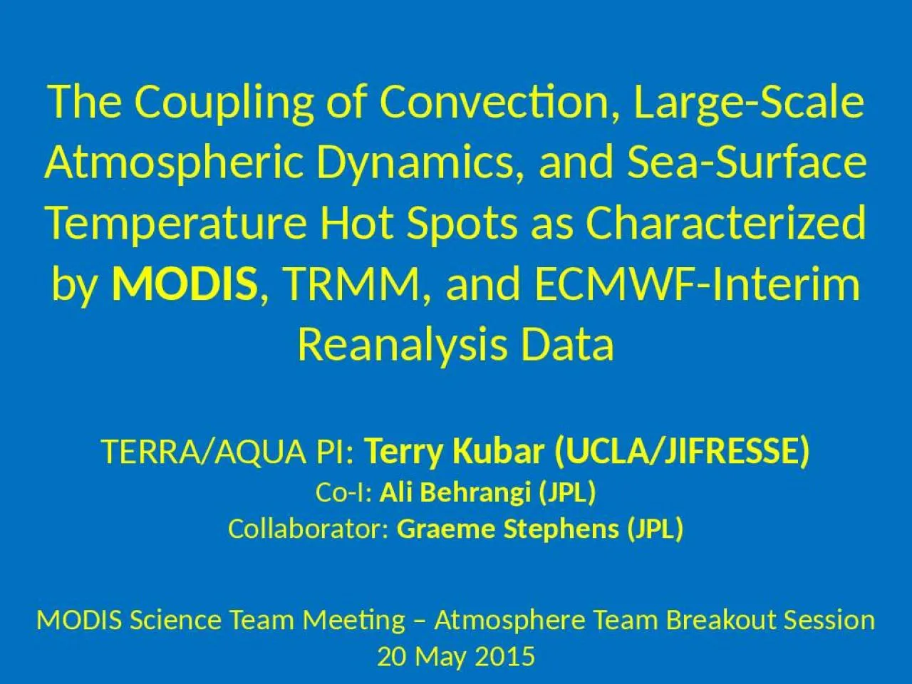
MODIS TRMM and ECMWFInterim Reanalysis Data TERRAAQUA PI Terry Kubar UCLAJIFRESSE CoI Ali Behrangi JPL Collaborator Graeme Stephens JPL MODIS Science Team Meeting Atmosphere Team Breakout Session ID: 909084
Download Presentation The PPT/PDF document "The Coupling of Convection, Large-Scale ..." is the property of its rightful owner. Permission is granted to download and print the materials on this web site for personal, non-commercial use only, and to display it on your personal computer provided you do not modify the materials and that you retain all copyright notices contained in the materials. By downloading content from our website, you accept the terms of this agreement.
Slide1
The Coupling of Convection, Large-Scale Atmospheric Dynamics, and Sea-Surface Temperature Hot Spots as Characterized by
MODIS
, TRMM, and ECMWF-Interim Reanalysis Data
TERRA/AQUA PI:
Terry Kubar (UCLA/JIFRESSE)
Co-I:
Ali
Behrangi
(JPL)
Collaborator:
Graeme Stephens (JPL)
MODIS Science Team Meeting – Atmosphere Team Breakout Session
20 May 2015
Slide2Overarching Motivations
•
Understanding ocean-atmosphere interactions over the tropics is paramount to understanding tropical climate and even climate sensitivity
•
Observed has been the relatively narrow SST range over which deep convection occurs, with the onset between 26-28˚C, peak convective activity between 29.5˚C-30˚ [e.g.
Waliser
and Graham 1993; Kubar et al. (2011);
Behrangi
and Kubar (2012)], and drop-off beyond these SSTs, the latter related to the formation of SST hot spots (
Waliser
1996)
•
While
Waliser
(1996) characterized composites of monthly large-scale circulation, cloud fields, and ocean profile temperatures the month(s) before, during and after hot spots (defined as monthly 10
6
km
2
regions in which monthly SSTs>29.75˚C),
less
focus was placed on individual hot spot events and the relationships between hot spot
intensity, size,
and its interplay with large-scale forcing and convective strength.
•
We have the advantage of
high-temporal
resolution multi-sensor satellite data (e.g.
MODIS
and
TRMM)
as well as co-located reanalysis
data
(ERA-Interim),
to characterize the horizontal, vertical and temporal evolution of
different
cloud types, large-scale dynamics/thermodynamics, and precipitation as they relate to
hot
spots from
various time scales (e.g. synoptic to
interannual
)
Slide3Specific Objectives
•Characterize relationships between SSTs, different convective cloud types from
MODIS
,
and large-scale dynamics from ECMWF reanalysis (
ERA-Interim)
•
Using the
Aqua MODIS
joint L3 histograms, partition
MODIS ice cloud types as a function of visible optical depth
τ
as thin cirrus, anvil, and convective core
clouds
•
C
irrus
clouds
have 0<
τ
<5,
anvil clouds
5<
τ
<30, and
convective core clouds
τ
>30 – thus
cirrus clouds
have a TOA
warming effect
, and
anvil and convective core clouds a
net TOA cooling effect
(based on Kubar et al. 2007)
•
Perform
time-series analyses in domain-averaged
20˚
longitude x10
˚
latitude boxes,
and construct
latitudinally
-averaged
Hovmoller
diagrams (between 0-10˚S
) to quantify the importance of SST hot spot formation on the spawning of deep convection via relationships with upward motion and low-level convergence
•
Examine synoptic variability of SSTs, vertical cloud profiles, and large-scale dynamics and moisture profiles vertical
profiles
over
favorable hot spot selection regions
•
Investigate
the occurrence of a “predator-prey
” type
of relationship
involving
convection (predator) and prey (hot spots)
Slide4Ice Cloud
Fraction,
ω
500
, and Rain Rates vs SSTs
Total Ice Cloud Fraction and ω500 both peak at SSTs ~ 30˚, a slightly higher SST than Waliser and Graham’s (1993) analysis
Cirrus clouds peak over warmer SSTs and may be a positive feedback with SSTs
TRMM rain rates peak at 30˚C, but then drop off more quickly than cloud fraction, since optically thinner clouds occur over higher SSTs and rain less
Slide5Climatology of SST Hot Spots, Clouds, and Large-Scale Circulation in 20˚lon x 10˚lat boxes
•Box between 160˚-180˚ and ~0˚-10˚S generally has just under a 2 month-duration with SSTs>30˚C
•Cirrus cloud fraction generally slightly larger with greater areal coverage than anvil clouds
•Generally easterly low-level winds throughout tropics, except near zero mean u-winds over the warm pool, where winds can be easterly or westerly (e.g. during westerly wind bursts)
Slide6160˚-180˚, 0-10˚S (Black: SSTs)
Red:
ω
500
180˚-200˚, 0-10˚S (Black: SSTs)
Red:
ω
500
Red: Anvil CF
Red: Anvil CF
Time Series of
ω
500
and Anvil Clouds and SSTs over West & East Selection Regions
•Both
ω
500
and Anvil CF clouds peak in intensity/coverage just following (~15 days to ~1 month) after peak SST hot spot, usually at the end of each calendar year
•Moderate El Nino late 2009/10 marked by strongest hot spot of the record, with strongest upward motion and largest anvil cloud coverage just after SST peak
Black Dots: Hot spots
Slide7•Pulses of convective core cloud fraction (e.g. CF>0.1) and corresponding heavy rain rates during the decay stage of hot spots
•Lots of shorter-term convective and precipitation variability as well
Time Series of
Convective Core CF, Rain Rates,
and SSTs over West & East Selection Regions
•Greatest convective core cloud fraction (top) and rain rates (bottom) just after the SST hot spot peak in late 2009/early 2010
•Other pulses of convective core cloud fraction/rain follow high SSTs (whether or not fully-fledged hot spots)
Red: Convective Core CF
Red: Rain Rates
Slide8Summary of Cloud,
ω
, and Rain Rate Relationships over Primary Hot Spot Region [160˚,180˚] and Eastern Adjacent Regions
•In both west and east 20˚x10˚ boxes, anvil CF and
ω
500 are tightly correlated with each other, as are convective core cloud fraction and TRMM rain rates•The latter finding is consistent with Kubar et al. (2007) (“Radiative and convective driving of tropical high clouds), but that study used MODIS and AMSR-E and examined regions in the north Pacific ITCZ
Slide915-Day
Hovmoller
Diagrams over entire record (2002-2015) of
ω
500 Anvil CF with Hotspots Superimposed (Dashed Contours: SSTs>30˚; Solid: SSTs=29.8˚
•La
Ninas
(late 2007-2008 and late 2010-2011) –
small or no hot spots
Moderate El Nino (late 2009/10): eastward propagation of large and strong hot spots, with large area of strong upward motion and widespread anvil CF
Slide10ω
500
(late 2008-late 2010)
MODIS Convective Core CF
TRMM Rain Rates
•Moderate El Nino during late 2009-early 2010; eastward-propagating hot spot with SSTs well above 30.2˚ for a few months → strong upward motion, significant and
organized convection, and
intense precipitation between 160
˚-200˚ during the hotspot decay stage
“Zoomed-In”
Hovmoller Diagrams during 2008-2010With Hot Spots Superimposed
(Dashed Contours: SSTs>30˚; Solid: SSTs=29.8
˚)
Slide11Zoomed in Vertical Profiles for Primary Hot Spot Region (1)
Strong upward motion following hot spot peak
Sustained period of anvil clouds
Convective Core Follows SST Hotspots with a fairly quick response time (days to weeks)
ω
CF Anvil
•While significant synoptic-to-
submonthly
variability exists of upward motion/
c
onvection,
more
s
ustained and organized deep ascent follows hot spots
•Shallow to deep
transition of
convection
w
ith time
Slide12Zoomed in Vertical Profiles for Primary Hot Spot Region (2)
RH
T’
U-Winds
Pulses of lower-level westerly winds in association with hot spots; they are associated with low-level convergence (not shown)
Transfer of Heat from Ocean to Atmosphere
Unstable
•Low-level moistening preceding deep convection, during/after hot spot peak
•
Dry mid/upper troposphere (except near
tropopause
) prior to SST hot spots
Feedbacks and “Predator-Prey” System of SSTs/Dynamics/Clouds
SSTs
ω
500
Anvil + convective CF
SSTs
Top
: Both
strong ascent and anvil/convective core clouds increase strongly following hot spot event, with 15-30 day response time
Lower Right:
Convective Core CF and Rain Rates follow a counterclockwise loop –
after
hot spot peak,
convection utilizes, or “preys” on
hot spots
until
hot
spot is depleted, after which convection draws down and SSTs eventually rise again
Quick Summary
•Strong ascent, anvil and convective cloud fraction, and high rain rates are observed in the western and central South Pacific (0-10˚S) just after maximum SSTs associated with hot spots
•In some cases, the strength/duration of the hot spots coincides with the subsequent intensity of convection and precipitation
•Three independent datasets (MODIS, TRMM and ERA-Interim) are consistent with each other in illustrating these relationships, with anvil clouds and
ω
500 very strongly linked to each other, as well as convective core cloud fraction and rain rates•Hot spots generally move east to west, except during El Nino, when hot spots are larger, more widespread, and longer-lasting•The predator-prey relationship between SST and convection is an intuitive concept that illustrates the strongly coupled nature of ocean-atmosphere system