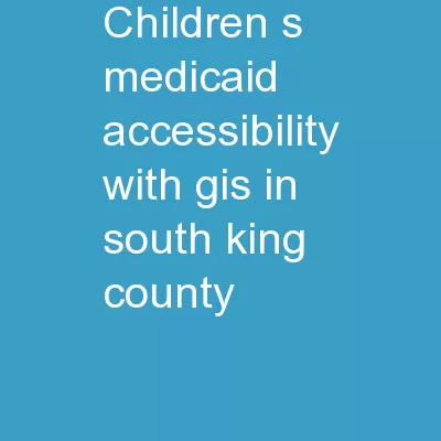
/
Children’s Medicaid Accessibility with GIS in South King County Children’s Medicaid Accessibility with GIS in South King County

Children’s Medicaid Accessibility with GIS in South King County - PowerPoint Presentation

olivia-moreira
olivia-moreira . @olivia-moreira
Follow
342 views
Uploaded On 2019-03-13

Children’s Medicaid Accessibility with GIS in South King County - PPT Presentation

Youth Medicaid Alliance In Partnership with Northwest Justice Project Ruth Asgedom Jacob Gonzalez Micah Babinski Introduction Goals Use GIS to spatially represent access to childrens Medicaid in S King County ID: 755727

zip medicaid county king medicaid zip king county pcps code density pcp project limited quantities access map codes shapefile

Share:

Link:

Embed:

Download Presentation from below link

Download Presentation The PPT/PDF document "Children’s Medicaid Accessibility with..." is the property of its rightful owner. Permission is granted to download and print the materials on this web site for personal, non-commercial use only, and to display it on your personal computer provided you do not modify the materials and that you retain all copyright notices contained in the materials. By downloading content from our website, you accept the terms of this agreement.


Presentation Transcript

Slide1

Children’s Medicaid Accessibility with GIS in South King County

Youth Medicaid Alliance

In Partnership with Northwest Justice Project

Ruth

Asgedom

Jacob Gonzalez Micah

Babinski

Slide2

IntroductionGoalsUse GIS to spatially represent access to children’s Medicaid in S. King County

Our project will benefit Northwest Justice Project.

Research Questions:

1.) What is the volume of primary care providers (PCPs) by zip code in S. King County?

2.) What is the volume of Medicaid PCPs within each zip code in S. King County?Slide3

Purpose To lobby for increased reimbursement rates for Medicaid providersTo improve access to health care for low income children in King County Slide4

PROJECT METHODSNeed to Know Question:

Density of total PCPs within each zip code of S. King CountySlide5

Density of all PCPs by zip code of S. King County

Data from PCP locations

Table Join .

xls

and .

shp

in Arc Map

Shapefile

of Zip Codes w/ PCP quantities as attributes

Zip code

shapefile

for King County

Add graduated symbols for PCP quantities

Map showing symbolic density of PCPs

Calculated Full-Time Equivalent (FTE)

Weighted total PCPs by zip codeSlide6

PROJECT METHODSNeed to Know Question:

Density of PCPs currently accepting Medicaid within each zip code of S. King CountySlide7

Density of PCPs currently accepting Medicaid by zip code of S. King County

Data from PCP locations

Table Join .

xls

and .

shp

in Arc Map

Shapefile

of Zip Codes w/ PCP quantities as attributes

Zip code

shapefile

for King County

Add graduated symbols for PCP quantities

Map showing symbolic density of Medicaid PCPs

Calculate Full-Time Equivalent (FTE)

Weighted Medicaid PCPs by zip codeSlide8
Slide9
Slide10

FindingsWe found that comparing densities of PCPs is an effective way to demonstrate geographic disparity in Medicaid accessibility.Most, if not all S. King County zip codes had way fewer Medicaid providers than total providersOptions for Medicaid patients are severely limited compared to general population

Zip codes covering Renton, Federal Way experienced highest level of disparitySlide11

ConclusionsOBRA 1989 obligations unmet

Limited Medicaid options lead to higher rates of no-shows

Limited access to preventative care

Limited access to Medicaid leads to higher emergency medical costs