Explore
Featured
Recent
Articles
Topics
Login
Upload
Featured
Recent
Articles
Topics
Login
Upload
Search Results for 'lidar wind'
lidar wind published presentations and documents on DocSlides.
Overview of upcoming lidar wake experiments at DTU
by clustik
Elliot Simon. DTU Wind Energy (. RISØ. ). ellsim@...
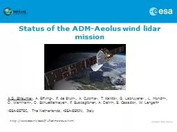
Status of t he ADM-Aeolus wind
by doggcandy
lidar. . mission. A.G. . Straume. 1. , . A. . Elf...
Turbulence and Heterogeneous Wind
by giovanna-bartolotta
Conditions in the Field of Wind . Energy. MSc . T...
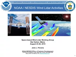
Space-based Wind
by yoshiko-marsland
Lidar. Working Group. Bar Harbor, Maine. August ...
Accuracy of dual-Doppler
by impristic
lidar . retrievals . of . near-shore winds. Nikola...
Optical Autocovariance Wind Lidar (OAWL) Instrument Design Lab (IDL) Study: 25-29 June 2012
by yoshiko-marsland
Final Output Presentation. Sara Tucker, Carl Weim...
Performance characteristics and design
by pamella-moone
trades for . an ISS . Hybrid Doppler Wind . Lidar...
Accuracy of dual-Doppler
by cheryl-pisano
lidar . retrievals . of . near-shore winds. Nikol...
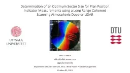
Determination of an Optimum Sector Size for Plan Position
by natalia-silvester
Indicator Measurements using a Long Range Coheren...
Measurements of Flow Distortion within the CSAT3
by lindy-dunigan
Sonic Anemometer. T.W. Horst. . and S.R. . Semme...
Assessing the Vulnerability of the Telecommunications Network to Impacts from Climate Change: Focus
by karlyn-bohler
Trevelyn Potter. Dr. Patrick Halpin, Advisor. Cli...
Application of a High-Pulse-Rate, Low-Pulse-Energy Doppler
by trish-goza
Transport Measurement. Mike Hardesty. 1,4. , . Sa...
Kavaya
by myesha-ticknor
1. Flight Results of the Langley DAWN Coherent Wi...
Project To Validate a Wind Turbine
by debby-jeon
Turbulence Model. Stephen Wheeler. 7. th. Novemb...
Project To Validate a Wind Turbine
by stefany-barnette
Turbulence Model. Stephen Wheeler. 7. th. Novemb...
PUBLICATIONSDraxl Caroline Rochelle P Worsnop Geng Xia Yelena Pichugin
by garcia
Pichugina YL RM Banta T Bonin WA Brewer A Choukulk...
NASA-GRIP Field Experiment
by breezeibm
Ramesh Kakar. Weather Focus Area Leader. TRMM, Aqu...
19th Coherent Laser Radar Conference
by alida-meadow
Analytical Feasibility Study of Wind Lidar with L...
PROJECT GRANTED UNDER INDO-EUROPEAN COOPERATION ON RENEWABLE ENERGY
by karlyn-bohler
08 March 2018. 2. Gujarat and Tamil Nadu Full-fea...
Headline
by natalia-silvester
Perdigão. (experimental) science goals. Julie K...
Chris Slinger, John Medley, Rhys Evans
by danika-pritchard
Use of nacelle lidar data . to explore impact of ...
Status Update
by sherrill-nordquist
NPP and NPOESS → JPSS & DWSS. Space-based W...
PCWG
by stefany-barnette
TI measurements . offshore for power curve verifi...
Two impact studies of airborne DWL data on tropical cyclone
by liane-varnes
G. D. Emmitt, K. Godwin and S. Greco. Simpson Wea...
Status Update
by test
NPP and NPOESS → JPSS & DWSS. Space-based W...
Evolution and Vertical Structure of
by yoshiko-marsland
the 20 June 2015 Bore Observed during PECAN. Dana...
KHVFLHQFHRIPDNLQJWRUTXHIURPZLQGOGHQEXUJFWREHU Wind turbine control applications of turbine mounted LIDAR E A Bossanyi A Kumar and O Hugues Salas An independent study Project outline Actual at hub
by trish-goza
00055 for different ranges 01 02 03 04 05 06 07 08...
Koch--1 G.J. Koch Grady Koch Lidar Observations of Thermal MS 4
by myesha-ticknor
Koch--2 Vertical wind measurements are presented...
Phase Resolved X-Band Wave Inversions in Multi-modal Seas
by yoshiko-marsland
SOMaR-3 . July 14-17, . 2015. . Eric Terrill, To...
Load More...