PPT-GPS Data and Earthquake Hazard
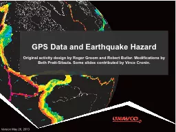
Original activity design by Roger Groom and Robert Butler Modifications by Beth PrattSitaula Some slides contributed by Vince Cronin Version May 26 2013 GPS receiver
Download Presentation
"GPS Data and Earthquake Hazard" is the property of its rightful owner. Permission is granted to download and print materials on this website for personal, non-commercial use only, provided you retain all copyright notices. By downloading content from our website, you accept the terms of this agreement.
Presentation Transcript
Transcript not available.