
Breakout session 11.7 Sustainable Urban


Description: Breakout session 11.7 Sustainable Urban Development Outputs Wenbo Chu GEO Secretariat The SBA: Sustainable Urban Development Description GEO will advocate the value of Earth observations, engage communities and deliver data and information
Related Topics
Download Presentation
"Breakout session 11.7 Sustainable Urban" is the property of its rightful owner. Permission is granted to download and print the materials on this website for personal, non-commercial use only, and to display it on your personal computer provided you do not modify the materials and that you retain all copyright notices contained in the materials. By downloading content from our website, you accept the terms of this agreement.
Presentation Transcript
slide1. Breakout session 11.7
Sustainable Urban Development
Outputs
Wenbo Chu
GEO Secretariat<br>
slide2. The SBA: Sustainable Urban Development Description
GEO will advocate the value of Earth observations, engage communities and deliver data and information in support of Sustainable Urban Development by assisting in the development of resilient cities and assessment of urban footprints; in order to make cities and human settlements inclusive, safe, resilient and sustainable through identifying economic externalities, managing environmental, climate and disaster risks, and building capacity to participate, plan and manage based on objective information regarding urban development.
2016 Work Programme activities
GEO Initiative
GI-17: Global Urban Observation and Information
GI-21: Human Planet Initiative
Community Activity
CA-24: Earth Observation in Cultural Heritage documentation<br>
slide3. The breakout session 15 participants
Universities and research institutes (6)
International or regional organizations (5)
Governmental agencies (3)
Private sector (1)
7 presentations
GEO Human Planet Initiative, Martino Pesaresi (JRC)
Global Population Grids, Bob Chen (CIESIN)
WorldPop, Alessandro Sorichetta (University of Southhampton)
Human footprint, Jeanne Foust (Esri)
GCI resources, Paola de Salvo (GEO Sec)
SDG Goal 11, UN Habitat III, resilience.io, Stephen Passmore (Ecosequestration Trust)
User Engagement for Sustainable Urban Development, Mike Tanner (NOAA)<br>
slide4. Observation 1: Clear linkage with Post-2015 Ageda UN Third Conference on Housing and Sustainable Urban Development (Habitat III, 2016)
Post-2015 framework on sustainable development goals (SDGs)
UN Framework Convention on Climate Change
Sendai Framework for Disaster Risk Reduction 2015-2030<br>
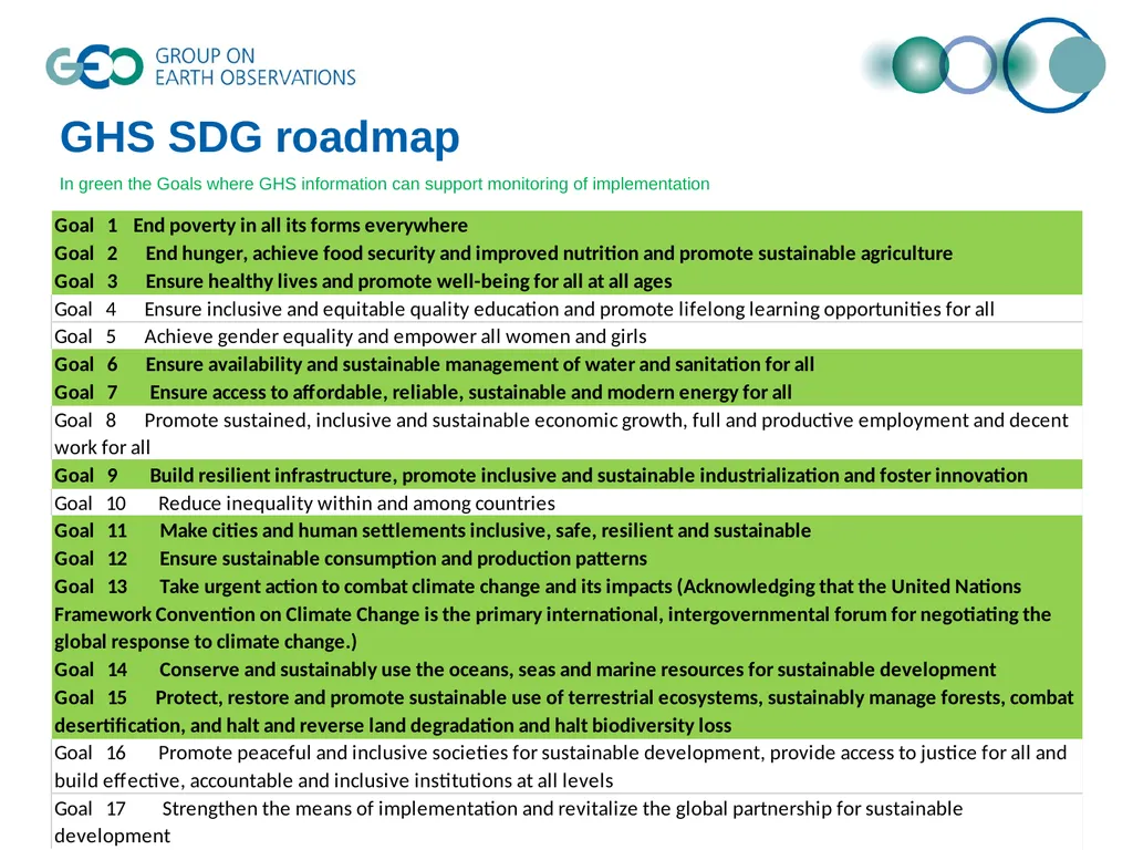
slide5. GHS SDG roadmap In green the Goals where GHS information can support monitoring of implementation<br>
slide6. Observation 2: Importance of Data Integration Spatially and temporally consistent and comparable data
Interoperability of
data formats
data from various sources, i.e., earth observation, GIS, cellphone, household survey and census<br>
slide7. Observation 3: Strong demand to leverage existing efforts UN:
HABITAT III
UN CSTD: paper on Smart Cities and Infrastructure; meeting next week in Genva
CIESIN: Gridded Population of the World; Energy Infrastructure; SEDAC HazPop iOS app…
ICSU: Health and Wellbeing in the Changing Urban Environment: a Systems Analysis Approach
resilience.io: Urban design platform
OGC: Urban Domain Working Group
Global Spatial Data Infrastructure Association
Private sector: Esri, Facebook…<br>
slide8. Expected output 1 Objectives Message from UNECA
Given the current rapid urbanization rate in many African countries, our aim is to:
Assess the spatial extension of some of the major African cities
Map the key patterns of urbanization
We are therefore welcoming all possibilities of collaboration in terms of :
Access to relevant satellite imagery and other data
Sharing of methods and tools for building and geovisualizing geographic urban infrastructure, extracting key urban features; and detecting patterns and trends<br>
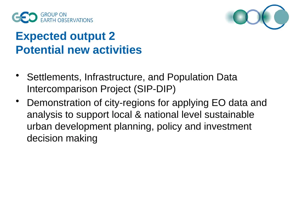
slide9. Expected output 2 Potential new activities Settlements, Infrastructure, and Population Data Intercomparison Project (SIP-DIP)
Demonstration of city-regions for applying EO data and analysis to support local & national level sustainable urban development planning, policy and investment decision making<br>
slide10. Already covered by ‘Existing efforts to be leveraged’ Expected output 3 List of recommended datasets, information, knowledge<br>
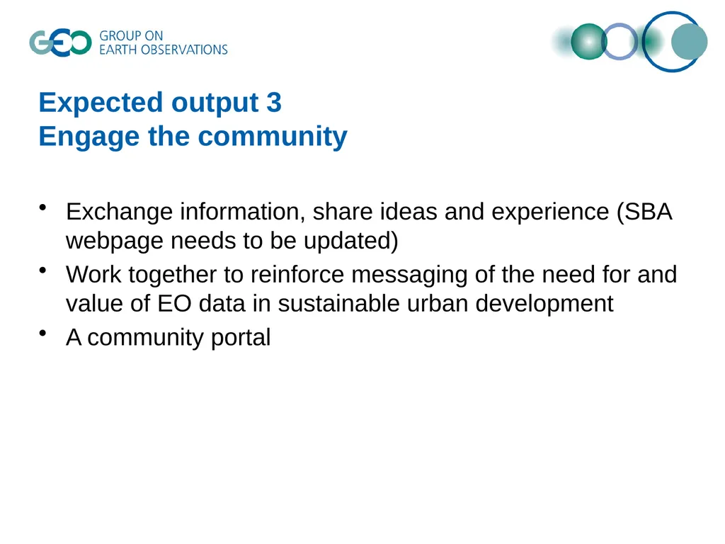
slide11. Expected output 3 Engage the community Exchange information, share ideas and experience (SBA webpage needs to be updated)
Work together to reinforce messaging of the need for and value of EO data in sustainable urban development
A community portal<br>
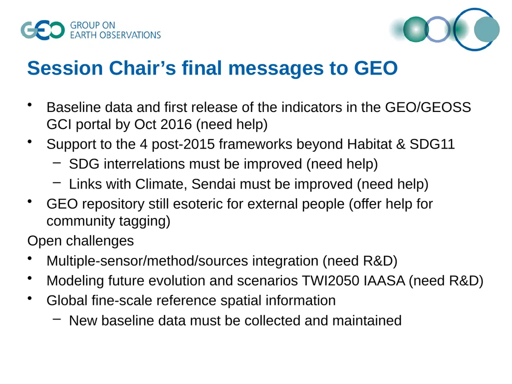
slide12. Session Chair’s final messages to GEO Baseline data and first release of the indicators in the GEO/GEOSS GCI portal by Oct 2016 (need help)
Support to the 4 post-2015 frameworks beyond Habitat & SDG11
SDG interrelations must be improved (need help)
Links with Climate, Sendai must be improved (need help)
GEO repository still esoteric for external people (offer help for community tagging)
Open challenges
Multiple-sensor/method/sources integration (need R&D)
Modeling future evolution and scenarios TWI2050 IAASA (need R&D)
Global fine-scale reference spatial information
New baseline data must be collected and maintained<br>
slide13. Thank you!<br>
slide2. The SBA: Sustainable Urban Development Description
GEO will advocate the value of Earth observations, engage communities and deliver data and information in support of Sustainable Urban Development by assisting in the development of resilient cities and assessment of urban footprints; in order to make cities and human settlements inclusive, safe, resilient and sustainable through identifying economic externalities, managing environmental, climate and disaster risks, and building capacity to participate, plan and manage based on objective information regarding urban development.
2016 Work Programme activities
GEO Initiative
GI-17: Global Urban Observation and Information
GI-21: Human Planet Initiative
Community Activity
CA-24: Earth Observation in Cultural Heritage documentation<br>
slide3. The breakout session 15 participants
Universities and research institutes (6)
International or regional organizations (5)
Governmental agencies (3)
Private sector (1)
7 presentations
GEO Human Planet Initiative, Martino Pesaresi (JRC)
Global Population Grids, Bob Chen (CIESIN)
WorldPop, Alessandro Sorichetta (University of Southhampton)
Human footprint, Jeanne Foust (Esri)
GCI resources, Paola de Salvo (GEO Sec)
SDG Goal 11, UN Habitat III, resilience.io, Stephen Passmore (Ecosequestration Trust)
User Engagement for Sustainable Urban Development, Mike Tanner (NOAA)<br>
slide4. Observation 1: Clear linkage with Post-2015 Ageda UN Third Conference on Housing and Sustainable Urban Development (Habitat III, 2016)
Post-2015 framework on sustainable development goals (SDGs)
UN Framework Convention on Climate Change
Sendai Framework for Disaster Risk Reduction 2015-2030<br>
slide5. GHS SDG roadmap In green the Goals where GHS information can support monitoring of implementation<br>
slide6. Observation 2: Importance of Data Integration Spatially and temporally consistent and comparable data
Interoperability of
data formats
data from various sources, i.e., earth observation, GIS, cellphone, household survey and census<br>
slide7. Observation 3: Strong demand to leverage existing efforts UN:
HABITAT III
UN CSTD: paper on Smart Cities and Infrastructure; meeting next week in Genva
CIESIN: Gridded Population of the World; Energy Infrastructure; SEDAC HazPop iOS app…
ICSU: Health and Wellbeing in the Changing Urban Environment: a Systems Analysis Approach
resilience.io: Urban design platform
OGC: Urban Domain Working Group
Global Spatial Data Infrastructure Association
Private sector: Esri, Facebook…<br>
slide8. Expected output 1 Objectives Message from UNECA
Given the current rapid urbanization rate in many African countries, our aim is to:
Assess the spatial extension of some of the major African cities
Map the key patterns of urbanization
We are therefore welcoming all possibilities of collaboration in terms of :
Access to relevant satellite imagery and other data
Sharing of methods and tools for building and geovisualizing geographic urban infrastructure, extracting key urban features; and detecting patterns and trends<br>
slide9. Expected output 2 Potential new activities Settlements, Infrastructure, and Population Data Intercomparison Project (SIP-DIP)
Demonstration of city-regions for applying EO data and analysis to support local & national level sustainable urban development planning, policy and investment decision making<br>
slide10. Already covered by ‘Existing efforts to be leveraged’ Expected output 3 List of recommended datasets, information, knowledge<br>
slide11. Expected output 3 Engage the community Exchange information, share ideas and experience (SBA webpage needs to be updated)
Work together to reinforce messaging of the need for and value of EO data in sustainable urban development
A community portal<br>
slide12. Session Chair’s final messages to GEO Baseline data and first release of the indicators in the GEO/GEOSS GCI portal by Oct 2016 (need help)
Support to the 4 post-2015 frameworks beyond Habitat & SDG11
SDG interrelations must be improved (need help)
Links with Climate, Sendai must be improved (need help)
GEO repository still esoteric for external people (offer help for community tagging)
Open challenges
Multiple-sensor/method/sources integration (need R&D)
Modeling future evolution and scenarios TWI2050 IAASA (need R&D)
Global fine-scale reference spatial information
New baseline data must be collected and maintained<br>
slide13. Thank you!<br>