GIS REMOTE SENSING Subject: GIS Studio Topic: Topography and GIS 1 Presented by: Pallavi Tiwari Topography is the study of the land surface. In particular, it lays the underlying foundation of a landscape. For example, topography refers
"GIS & REMOTE SENSING Subject: GIS Studio Topic:" is the property of its rightful owner. Permission is granted to
download and print the materials on this website for personal, non-commercial use only, and to display it
on your personal computer provided you do not modify the materials and that you retain all copyright
notices contained in the materials. By downloading content from our website, you accept the terms of this
agreement.
Share
Embed code
Presentation Transcript
01
GIS & REMOTE SENSING Subject: GIS Studio
Topic: Topography and GIS 1
Presented by: Pallavi Tiwari<br>
02
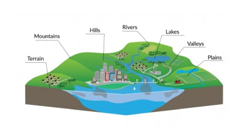
Topography is the study of the land surface.
In particular, it lays the underlying foundation of a landscape.
For example, topography refers to mountains, valleys, rivers, or craters on the surface.
The origin of topography comes from “topo” for “place” and “graphia” for “writing”.
It’s closely related to geodesy and surveying which are concerned with accurately measuring the land surface.
And it’s also closely tied to geography and mapping systems like GIS.<br>
03
Relief and Contours
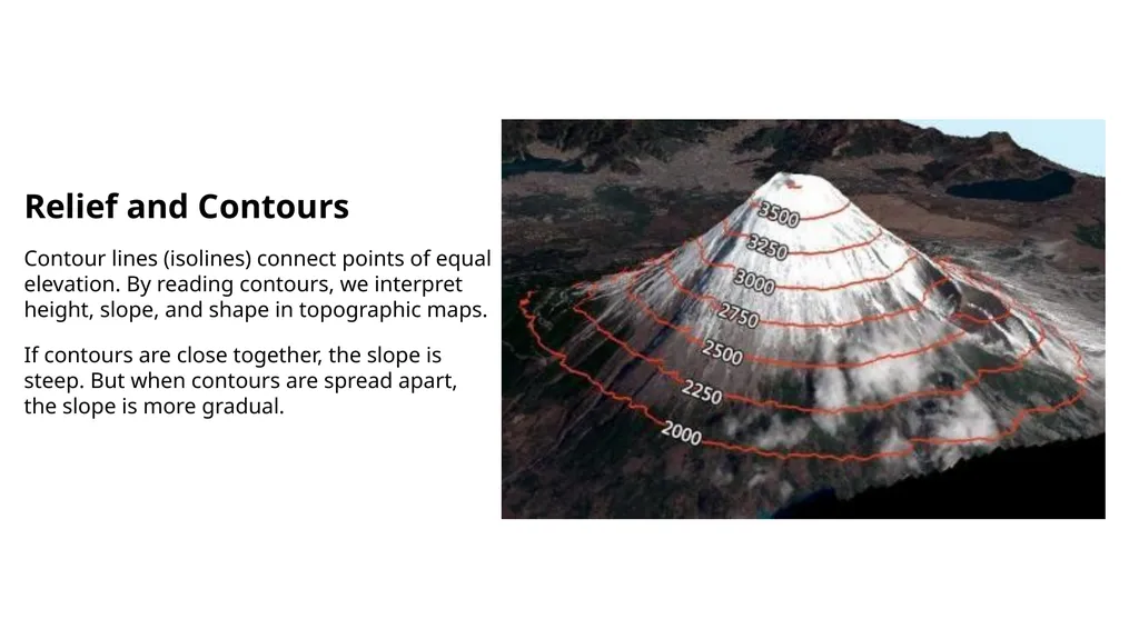
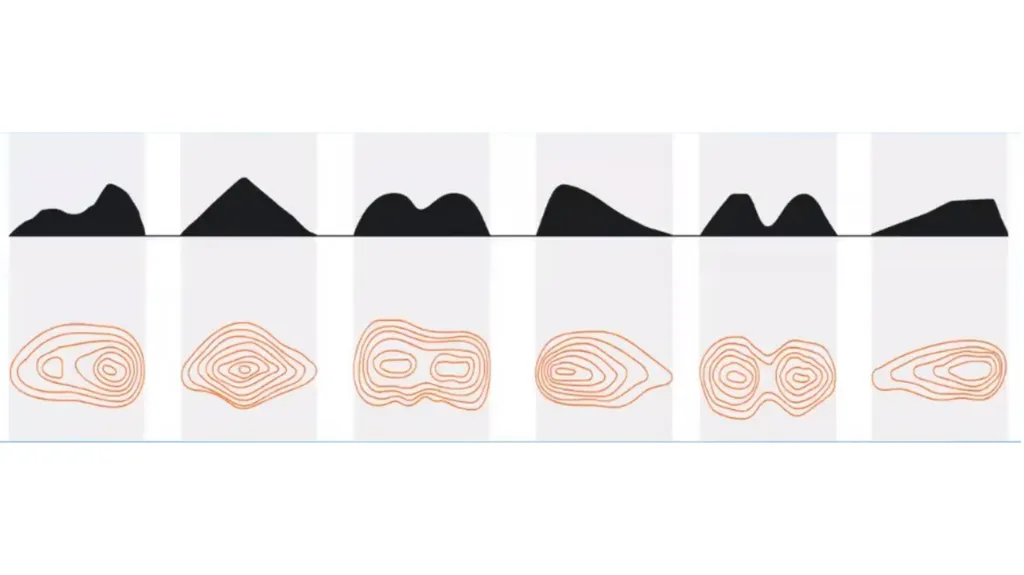
Contour lines (isolines) connect points of equal elevation. By reading contours, we interpret height, slope, and shape in topographic maps.
If contours are close together, the slope is steep. But when contours are spread apart, the slope is more gradual.<br>
04
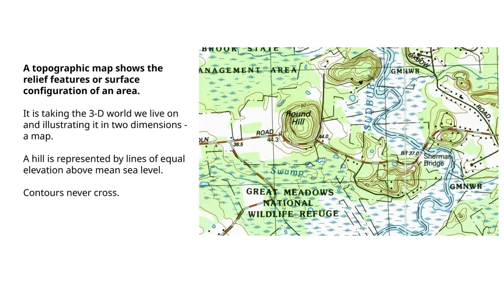
A topographic map shows the relief features or surface configuration of an area.
It is taking the 3-D world we live on and illustrating it in two dimensions - a map.
A hill is represented by lines of equal elevation above mean sea level.
Contours never cross.<br>
05
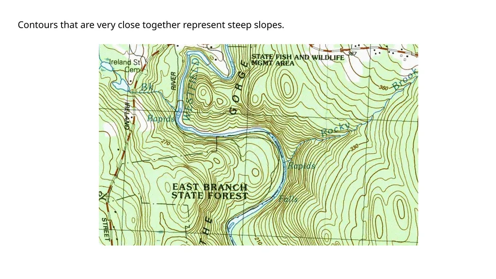
Contours that are very close together represent steep slopes.<br>
06
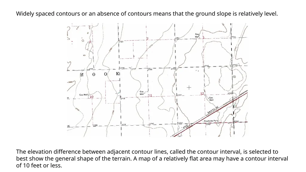
Widely spaced contours or an absence of contours means that the ground slope is relatively level. The elevation difference between adjacent contour lines, called the contour interval, is selected to best show the general shape of the terrain. A map of a relatively flat area may have a contour interval of 10 feet or less.<br>
07
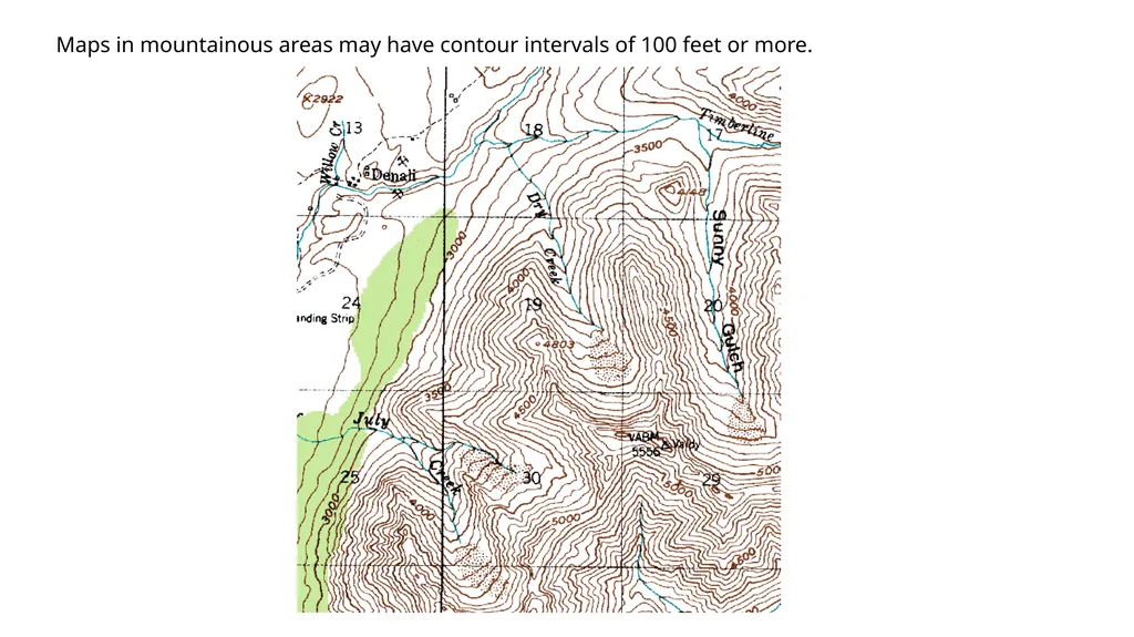
Maps in mountainous areas may have contour intervals of 100 feet or more.<br>
08
Examples of Topography in Maps
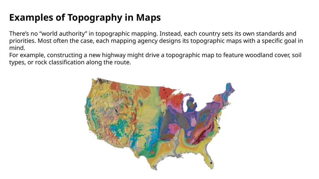
There’s no “world authority” in topographic mapping. Instead, each country sets its own standards and priorities. Most often the case, each mapping agency designs its topographic maps with a specific goal in mind.
For example, constructing a new highway might drive a topographic map to feature woodland cover, soil types, or rock classification along the route.<br>
09
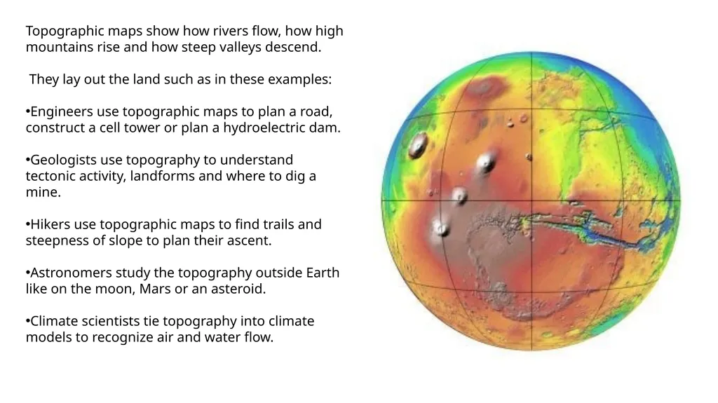
Topographic maps show how rivers flow, how high mountains rise and how steep valleys descend.
They lay out the land such as in these examples:
Engineers use topographic maps to plan a road, construct a cell tower or plan a hydroelectric dam.
Geologists use topography to understand tectonic activity, landforms and where to dig a mine.
Hikers use topographic maps to find trails and steepness of slope to plan their ascent.
Astronomers study the topography outside Earth like on the moon, Mars or an asteroid.
Climate scientists tie topography into climate models to recognize air and water flow.<br>