
KS3 Geography Knowledge: Interconnectedness
Description: KS3 Geography Knowledge: Interconnectedness Afghanistan is located in Southern Asia. It is a landlocked country, surrounded by 6 other countries. Its capital city is Kabul, which is located in the east central part of the country It has a
Related Topics
Download Presentation
"KS3 Geography Knowledge: Interconnectedness" is the property of its rightful owner. Permission is granted to download and print the materials on this website for personal, non-commercial use only, and to display it on your personal computer provided you do not modify the materials and that you retain all copyright notices contained in the materials. By downloading content from our website, you accept the terms of this agreement.
Presentation Transcript
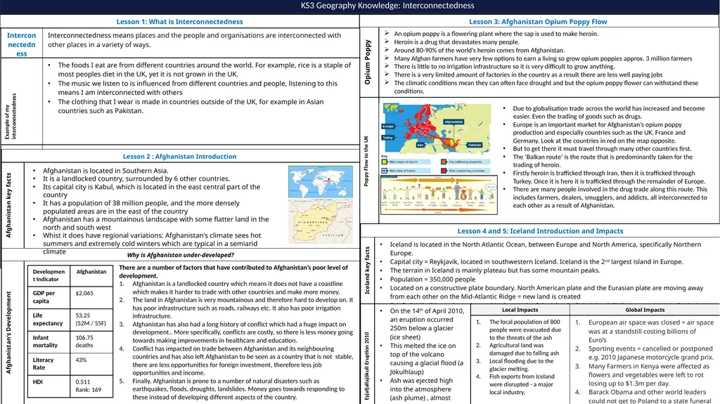
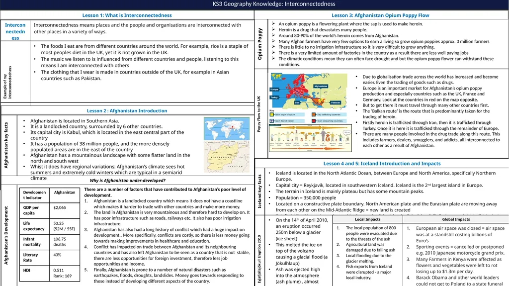
slide1. KS3 Geography Knowledge: Interconnectedness Afghanistan is located in Southern Asia.
It is a landlocked country, surrounded by 6 other countries.
Its capital city is Kabul, which is located in the east central part of the country
It has a population of 38 million people, and the more densely populated areas are in the east of the country
Afghanistan has a mountainous landscape with some flatter land in the north and south west
Whist it does have regional variations: Afghanistan's climate sees hot summers and extremely cold winters which are typical in a semiarid climate There are a number of factors that have contributed to Afghanistan’s poor level of development.
Afghanistan is a landlocked country which means it does not have a coastline which makes it harder to trade with other countries and make more money.
The land in Afghanistan is very mountainous and therefore hard to develop on. It has poor infrastructure such as roads, railways etc. It also has poor irrigation infrastructure.
Afghanistan has also had a long history of conflict which had a huge impact on development.. More specifically, conflicts are costly, so there is less money going towards making improvements in healthcare and education.
Conflict has impacted on trade between Afghanistan and its neighbouring countries and has also left Afghanistan to be seen as a country that is not stable, there are less opportunities for foreign investment, therefore less job opportunities and income.
Finally, Afghanistan is prone to a number of natural disasters such as earthquakes, floods, droughts, landslides. Money goes towards responding to these instead of developing different aspects of the country. Due to globalisation trade across the world has increased and become easier. Even the trading of goods such as drugs.
Europe is an important market for Afghanistan’s opium poppy production and especially countries such as the UK, France and Germany. Look at the countries in red on the map opposite.
But to get there it must travel through many other countries first.
The ‘Balkan route’ is the route that is predominantly taken for the trading of heroin.
Firstly heroin is trafficked through Iran, then it is trafficked through Turkey. Once it is here it is trafficked through the remainder of Europe.
There are many people involved in the drug trade along this route. This includes farmers, dealers, smugglers, and addicts, all interconnected to each other as a result of Afghanistan.<br>
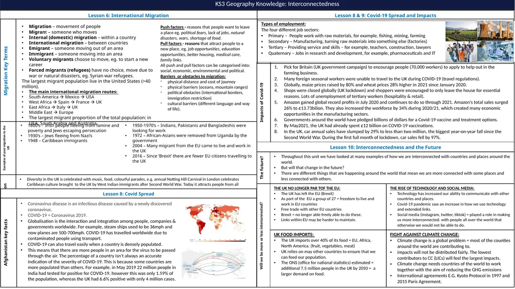
slide2. KS3 Geography Knowledge: Interconnectedness Migration – movement of people
Migrant – someone who moves
Internal (domestic) migration – within a country
International migration – between countries
Emigrant – someone moving out of an area
Immigrant – someone moving into an area
Voluntary migrants choose to move, eg. to start a new career
Forced migrants (refugees) have no choice, move due to war or natural disasters, eg. Syrian war refugees.
The largest migrant population live in the United States (>40 million).
The main international migration routes:
South America Mexico USA
West Africa Spain France UK
East Africa Italy UK
Middle East Europe
The largest migrant proportion of the total population: in UEA, Saudi Arabia and Australia. Push factors - reasons that people want to leave a place eg. political fears, lack of jobs, natural disasters, wars, shortage of food.
Pull factors - reasons that attract people to a new place, eg. job opportunities, education opportunities, better housing, medical care, family links.
All push and pull factors can be categorised into:
social, economic, environmental and political.
Barriers or obstacles to migration:
physical distance and cost of journey
physical barriers (oceans, mountain ranges)
political obstacles (international borders, immigration restriction)
cultural barriers (different language and way of life). 1800’s - Irish people fleeing from famine and poverty and Jews escaping persecution
1930’s – Jews fleeing from Nazi’s
1948 – Caribbean immigrants 1950-1970’s – Indians, Pakistanis and Bangladeshis were looking for work
1972 – African-Asians were removed from Uganda by the government
2004 – Many migrant from the EU came to live and work in the UK
2016 – Since ‘Brexit’ there are fewer EU citizens travelling to the UK Coronavirus disease is an infectious disease caused by a newly discovered coronavirus.
COVID-19 = Coronavirus 2019.
Globalisation is the interaction and integration among people, companies & governments worldwide. For example, steam ships used to be 36mph and now planes are 500-700mph. COVID-19 has travelled worldwide due to contaminated people using transport.
COVID-19 can also travel easily when a country is densely populated.
This means that there are more people in an area for the virus to be passed through the air. The percentage of a country isn’t always an accurate indication of the severity of COVID-19. This is because some countries are more populated than others. For example, in May 2019 22 million people in India had tested for positive for COVID-19, however this was only 1.59% of the population, whereas the UK had 6.6% positive with only 4 million cases.<br>
It is a landlocked country, surrounded by 6 other countries.
Its capital city is Kabul, which is located in the east central part of the country
It has a population of 38 million people, and the more densely populated areas are in the east of the country
Afghanistan has a mountainous landscape with some flatter land in the north and south west
Whist it does have regional variations: Afghanistan's climate sees hot summers and extremely cold winters which are typical in a semiarid climate There are a number of factors that have contributed to Afghanistan’s poor level of development.
Afghanistan is a landlocked country which means it does not have a coastline which makes it harder to trade with other countries and make more money.
The land in Afghanistan is very mountainous and therefore hard to develop on. It has poor infrastructure such as roads, railways etc. It also has poor irrigation infrastructure.
Afghanistan has also had a long history of conflict which had a huge impact on development.. More specifically, conflicts are costly, so there is less money going towards making improvements in healthcare and education.
Conflict has impacted on trade between Afghanistan and its neighbouring countries and has also left Afghanistan to be seen as a country that is not stable, there are less opportunities for foreign investment, therefore less job opportunities and income.
Finally, Afghanistan is prone to a number of natural disasters such as earthquakes, floods, droughts, landslides. Money goes towards responding to these instead of developing different aspects of the country. Due to globalisation trade across the world has increased and become easier. Even the trading of goods such as drugs.
Europe is an important market for Afghanistan’s opium poppy production and especially countries such as the UK, France and Germany. Look at the countries in red on the map opposite.
But to get there it must travel through many other countries first.
The ‘Balkan route’ is the route that is predominantly taken for the trading of heroin.
Firstly heroin is trafficked through Iran, then it is trafficked through Turkey. Once it is here it is trafficked through the remainder of Europe.
There are many people involved in the drug trade along this route. This includes farmers, dealers, smugglers, and addicts, all interconnected to each other as a result of Afghanistan.<br>
slide2. KS3 Geography Knowledge: Interconnectedness Migration – movement of people
Migrant – someone who moves
Internal (domestic) migration – within a country
International migration – between countries
Emigrant – someone moving out of an area
Immigrant – someone moving into an area
Voluntary migrants choose to move, eg. to start a new career
Forced migrants (refugees) have no choice, move due to war or natural disasters, eg. Syrian war refugees.
The largest migrant population live in the United States (>40 million).
The main international migration routes:
South America Mexico USA
West Africa Spain France UK
East Africa Italy UK
Middle East Europe
The largest migrant proportion of the total population: in UEA, Saudi Arabia and Australia. Push factors - reasons that people want to leave a place eg. political fears, lack of jobs, natural disasters, wars, shortage of food.
Pull factors - reasons that attract people to a new place, eg. job opportunities, education opportunities, better housing, medical care, family links.
All push and pull factors can be categorised into:
social, economic, environmental and political.
Barriers or obstacles to migration:
physical distance and cost of journey
physical barriers (oceans, mountain ranges)
political obstacles (international borders, immigration restriction)
cultural barriers (different language and way of life). 1800’s - Irish people fleeing from famine and poverty and Jews escaping persecution
1930’s – Jews fleeing from Nazi’s
1948 – Caribbean immigrants 1950-1970’s – Indians, Pakistanis and Bangladeshis were looking for work
1972 – African-Asians were removed from Uganda by the government
2004 – Many migrant from the EU came to live and work in the UK
2016 – Since ‘Brexit’ there are fewer EU citizens travelling to the UK Coronavirus disease is an infectious disease caused by a newly discovered coronavirus.
COVID-19 = Coronavirus 2019.
Globalisation is the interaction and integration among people, companies & governments worldwide. For example, steam ships used to be 36mph and now planes are 500-700mph. COVID-19 has travelled worldwide due to contaminated people using transport.
COVID-19 can also travel easily when a country is densely populated.
This means that there are more people in an area for the virus to be passed through the air. The percentage of a country isn’t always an accurate indication of the severity of COVID-19. This is because some countries are more populated than others. For example, in May 2019 22 million people in India had tested for positive for COVID-19, however this was only 1.59% of the population, whereas the UK had 6.6% positive with only 4 million cases.<br>