/
MIT’s Flood Risk:  Present and Future MIT’s Flood Risk:  Present and Future

MIT’s Flood Risk: Present and Future - PowerPoint Presentation

amelia
amelia . @amelia
Follow
64 views
Uploaded On 2024-01-29

MIT’s Flood Risk: Present and Future - PPT Presentation

Kerry Emanuel Lorenz Center MIT Program Brief Overview of New England Floods Assessment of MITs Tropical Cyclone Flood Risk How will Global Warming Affect MIT Flood Risk New England Flooding ID: 1041972

hurricane wind risk storm wind hurricane storm risk model climate layer time surge top rain events boundary vertical rainfall

Share:

Link:

Embed:

Download Presentation from below link

Download Presentation The PPT/PDF document "MIT’s Flood Risk: Present and Future" is the property of its rightful owner. Permission is granted to download and print the materials on this web site for personal, non-commercial use only, and to display it on your personal computer provided you do not modify the materials and that you retain all copyright notices contained in the materials. By downloading content from our website, you accept the terms of this agreement.


Presentation Transcript

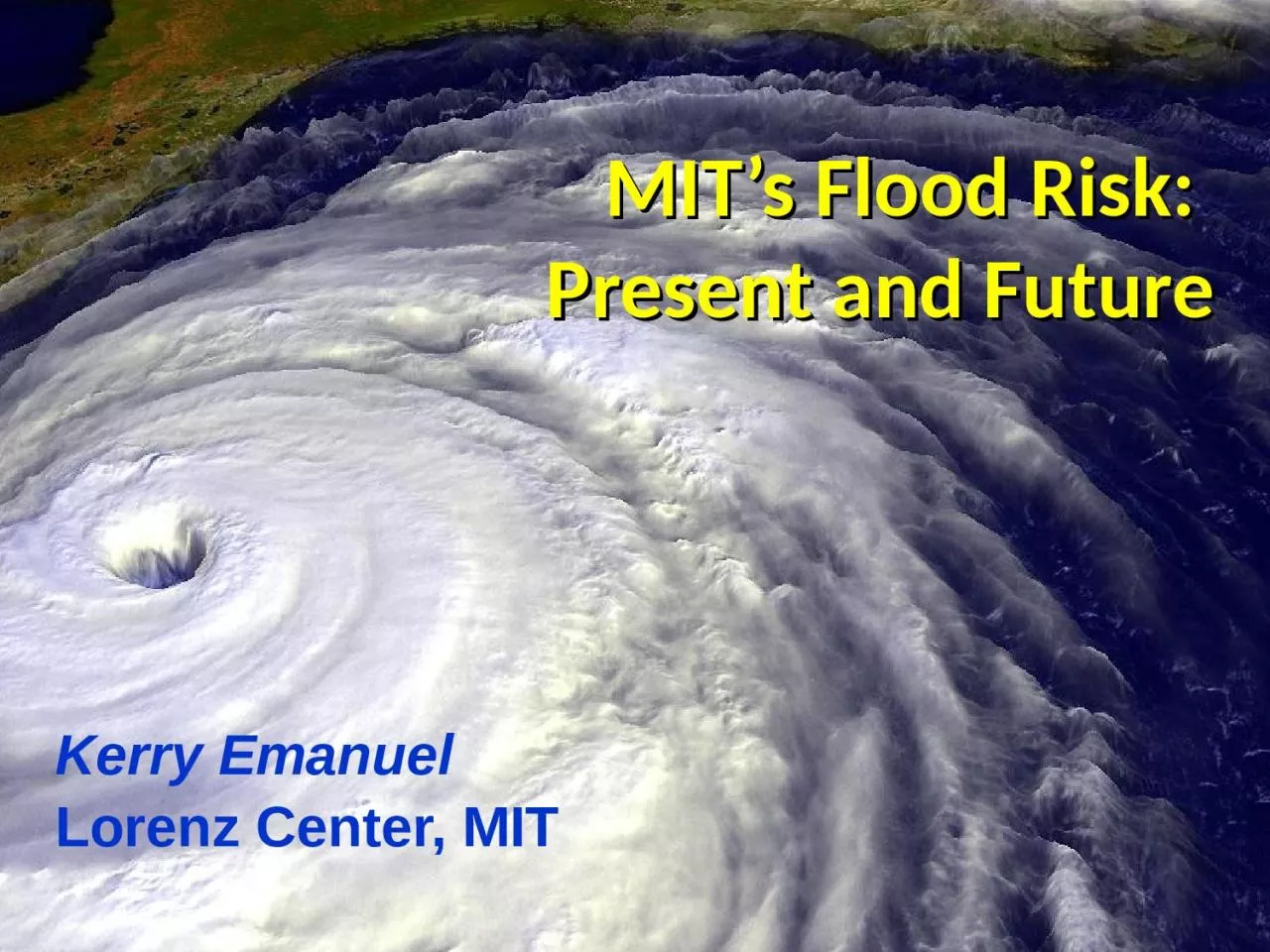
1. MIT’s Flood Risk: Present and FutureKerry EmanuelLorenz Center, MIT

2. ProgramBrief Overview of New England FloodsAssessment of MIT’s Tropical Cyclone Flood RiskHow will Global Warming Affect MIT Flood Risk?

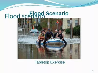
3. New England FloodingHistorically, largest floods in New England have been caused by spring rain storms on top of large snow packs, thunderstorms, and tropical cyclonesCharles River susceptible to combination of runoff and storm surge at the Charles River Dam

4. Storm SurgeInland Flooding from Rain

5. Limitations of a strictly statistical approach to hurricane risk assessment>50% of all normalized U.S. hurricane damage caused by top 8 events, all category 3, 4 and 5>90% of all damage caused by storms of category 3 and greaterCategory 3,4 and 5 events are only 13% of total landfalling events; only 30 since 1870 Landfalling storm statistics are inadequate for assessing hurricane risk

6. Bringing Physics to Bear: Risk Assessment by Direct Numerical Simulation of HurricanesThe ProblemThe hurricane eyewall is an intense, circular front, attaining scales of ~ 1 km or lessAt the same time, the storm’s circulation extends to ~1000 km and is embedded in much larger scale flows

7. Angular Momentum DistributionAltitude (km)Storm Center

8. Time-dependent, axisymmetric model phrased in R space (CHIPS)Hydrostatic and gradient balance above PBLMoist adiabatic lapse rates on M surfaces above PBLBoundary layer quasi-equilibrium convectionDeformation-based radial diffusionCoupled to simple 1-D ocean modelEnvironmental wind shear effects parameterized

9. Originally Developed as a Student Laboratory Tool, Later Adapted as a Hurricane Intensity Forecasting Model(http://wind.mit.edu/~emanuel/storm.html)

10.

11. Secondaryeyewalls

12. How Can We Use This Model to Help Assess Hurricane Wind, Surge, and Rain Risk in Current and Future Climates?

13. Risk Assessment Approach:Step 1: Seed each ocean basin with a very large number of weak, randomly located cyclonesStep 2: Cyclones are assumed to move with the large scale atmospheric flow in which they are embedded, plus a correction for beta driftStep 3: Run the CHIPS model for each cyclone, and note how many achieve at least tropical storm strengthStep 4: Using the small fraction of surviving events, determine storm statisticsDetails: Emanuel et al., Bull. Amer. Meteor. Soc, 2008

14. Synthetic Track Generation:Generation of Synthetic Wind Time SeriesPostulate that TCs move with vertically averaged environmental flow plus a “beta drift” correctionApproximate “vertically averaged” by weighted mean of 850 and 250 hPa flow

15. Synthetic wind time seriesMonthly mean, variances and co-variances from re-analysis or global climate model dataSynthetic time series constrained to have the correct monthly mean, variance, co-variances and an ω-3 power series

16. Comparison of Random Seeding Genesis Locations with Observations

17. CalibrationAbsolute genesis frequency calibrated to globe during the period 1980-2005

18.

19. Example: Hurricane affecting New York City

20. Wind Swath

21. Return Periods

22. Captures effects of regional climate phenomena (e.g. ENSO, AMM)

23. Storm Surge Simulation (Ning Lin)SLOSH mesh~ 103 mADCIRC mesh~ 102 mBatteryADCIRC model(Luettich et al. 1992)SLOSH model(Jelesnianski et al. 1992)ADCIRC mesh~ 10 m(Colle et al. 2008)

24. Surge Return Periods for The Battery, New YorkSandy

25. Predicting RainfallThe CHIPS models predicts updraft and downdraft convective mass flux as a function of time and potential radius, BUT:Storing these variables at all radii would increase overall storage requirements by a factor of ~50

26. For the purposes of producing detailed wind fields, we fit canonical radial wind profiles to predicted values of Vmax and rmax, and add a constant background wind. Can we use this information to determine rainfall?

27. First calculate vertical motion in middle troposphere from time-dependent azimuthal gradient wind. Four components:Vertical motion at the top of the boundary layer owing to frictional effects within the boundary layer. This is estimated using a slab boundary layer model forced by the model gradient wind as well as the low-level environmental wind used as an input to the storm synthesizer. Vertical motion at the top of the boundary layer forced by topography interacting with the combination of storm and environmental flow.

28. Vertical stretching between the top of the boundary layer and the middle troposphere associated with changes in the vorticity of the (axisymmetric) gradient wind. Mid-tropospheric vertical motion caused by the dynamical interaction of the axisymmetric vortical flow and the background shear/horizontal temperature gradient.

29. Given mid-tropospheric vertical motion, rainfall is calculated by assuming ascent along a moist adiabat, calculated using the environmental 600 hPa temperature.

30. Some resultsInstantaneous rainfall rate (mm/day) associated with Hurricane Katrina at 06 GMT 29 August 2005 predicted by the model driven towards Katrina’s observed wind intensity along its observed track

31. Observed (left) and simulated storm total rainfall accumulation during Hurricane Katrina of 2005. The plot at left is from NASA’s Multi-Satellite Precipitation Analysis, which is based on the Tropical Rainfall Measurement Mission (TRMM) satellite, among others. Dark red areas exceed 300 mm of rainfall; yellow areas exceed 200 mm, and green areas exceed 125 mm

32. Example showing baroclinic and topographic effects

33.

34. Comparison to inferences based on NEXRAD data(work of Casey Hilgenbrink)

35.

36. Effects of Climate Change More moisture in boundary layer Stronger storms but more compact inner regions Possibly larger storm diameters

37. MMMq=qb

38. Global warming leads to fewer but heavier rain events. Rain intensity in the tropics goes up with Clausius-Clapeyron.(Global mean precipitation rises much more slowly.)

39. Downscaling of AR5 GCMsCCSM4GFDL-CM3HadGEM2-ESIPSL CM5A-LRMPI-ESM-MRMIROC-5MRI-CGCM3Historical: 1950-2005, RCP8.5 2006-2100

40. GCM flood height return level, Battery, Manhattan(assuming SLR of 1 m for the future climate )Black: Current climate (1981-2000)Blue: A1B future climate (2081-2100)Red: A1B future climate (2081-2100) with R0 increased by 10% and Rm increased by 21%Lin, N., K. Emanuel, M. Oppenheimer, and E. Vanmarcke, 2012: Physically based assessment of hurricane surge threat under climate change. Nature Clim. Change, doi:10.1038/nclimate1389

41. Top 50 of 5,000 events affecting Boston

42. Hurricanes Passing within 150 km of BostonDownscaled from 5 climate models

43. Surge Risk

44.

45. Surge Risk with 1 meter sea level rise

46. Rain Risk

47. From: American Climate Prospectus Economic Risks in the United StatesSea level rise aloneSea level rise + changing storms

48. SummaryNew England history is too short, sparse, and imperfect to estimate MIT’s hurricane riskBetter estimates can be made by downscaling hurricane activity from climatological or global model outputNew England hurricanes clearly vary with climate and there is a decided risk that hurricane threats will increase over this century

49. Spares

50.

51.

52. Wind speed and direction at Logan Airport