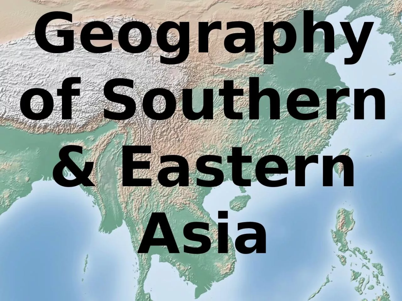
/
Geography of Southern & Eastern Asia Geography of Southern & Eastern Asia

Geography of Southern & Eastern Asia - PowerPoint Presentation

barbara
barbara . @barbara
Follow
343 views
Uploaded On 2022-06-15

Geography of Southern & Eastern Asia - PPT Presentation

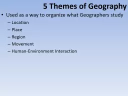
Essential Question Where are the major physical features and nations of Southern amp Eastern Asia located Standards SS7G9a Locate on a world and regional political physical map Ganges River Huang He Yellow River Indus River Mekong River Yangtze Chang Jiang River Bay of Bengal ID: 919490

asia river amp southern river asia southern amp eastern physical features sea china yellow desert ocean japan south india

Share:

Link:

Embed:

Download Presentation from below link

Download Presentation The PPT/PDF document "Geography of Southern & Eastern Asia" is the property of its rightful owner. Permission is granted to download and print the materials on this web site for personal, non-commercial use only, and to display it on your personal computer provided you do not modify the materials and that you retain all copyright notices contained in the materials. By downloading content from our website, you accept the terms of this agreement.


Presentation Transcript

Slide1

Geography

of Southern & Eastern Asia

Slide2

Essential Question:Where are the major physical features and nations of Southern & Eastern Asia located?

Standards:

SS7G9a.

Locate on a world and regional political- physical map:

Ganges River, Huang He (Yellow River), Indus River, Mekong River, Yangtze (Chang Jiang) River, Bay of Bengal, India Ocean, Sea of Japan, South China Sea, Yellow Sea, Gobi Desert, Taklimakan Desert, Himalayan Mountains, and Korean Peninsula.

SS7G9b.

Locate on a world and regional political-physical map the countries of China, India, Indonesia, Japan, North Korea, South Korea, and Vietnam.

Slide3

Where is Southern & Eastern Asia?

Slide4

Southern & Eastern Asia Physical Features

Use the Physical Features Map to record your answers.

Slide5

Southern & Eastern Asia Physical Features

1

Gobi Desert

Slide6

Gobi Desert

Slide7

Gobi Desert:

Asia’s largest desert that stretches across southern Mongolia and northern China.

Slide8

Southern & Eastern Asia Physical Features

2

Huang He (Yellow) River

Slide9

Huang He (Yellow) River

Slide10

Huang He (Yellow) River:

China’s second largest river that causes devastating floods. It is named for the muddy yellow silt it carries

Slide11

Southern & Eastern Asia Physical Features

3

Yangtze River

Slide12

Yangtze River

Slide13

Yangtze River:

Largest and longest river in China; very important because it provides hydroelectric power, water for irrigation, and transportation for cargo ships.

Slide14

Southern & Eastern Asia Physical Features

4

Mekong River

Slide15

Mekong River

Slide16

Mekong River:

Flows through China, Myanmar (Burma), Thailand, Laos, Cambodia, and Vietnam. One of the region’s most important crops, rice, is grown in the river basin.

Slide17

Southern & Eastern Asia Physical Features

5

Ganges River

Slide18

Ganges River

Slide19

Ganges River:

Starts in the Himalayan Mountains; most important river in India because it runs through the most fertile and highly populated areas; considered sacred by the Hindu religion.

Slide20

Southern & Eastern Asia Physical Features

6

Himalayan Mountains

Slide21

Himalayan Mountains

Slide22

Himalayan Mountains:

World’s highest mountain range that sits along the northern edge of India; includes Mount Everest, the highest mountain in the world.

Slide23

Southern & Eastern Asia Physical Features

7

Taklimakan Desert

Slide24

Taklimakan Desert

Slide25

Taklimakan Desert:

Located in northwestern China between two mountain ranges

Slide26

Southern & Eastern Asia Physical Features

8

Indus River

Slide27

Indus River

Slide28

Indus River:

Begins high in the Himalayas and slowly runs through India and Pakistan; provides water for one of the largest irrigation systems in the world

Slide29

Southern & Eastern Asia Physical Features

9

Indian Ocean

Slide30

Indian Ocean

Slide31

Indian Ocean:

Third largest ocean; lies between Africa, Asia, and Australia

Slide32

Southern & Eastern Asia Physical Features

10

Bay of Bengal

Slide33

Bay of Bengal

Slide34

Bay of Bengal:

An “arm” of the Indian Ocean with India on its west; many large rivers, including the Ganges, flow into it

Slide35

Southern & Eastern Asia Physical Features

11

South China Sea

Slide36

South China Sea

Slide37

South China Sea:

Lies between Vietnam and the Philippines; has violent monsoons and typhoons.

Slide38

Southern & Eastern Asia Physical Features

12

Yellow Sea

Slide39

Yellow Sea

Slide40

Yellow Sea:

An “arm” of the Pacific Ocean that lies between China and Korea; it becomes the East China Sea south of the Korean Peninsula

Slide41

Southern & Eastern Asia Physical Features

13

Korean Peninsula

Slide42

Korean

Peninsula

Slide43

Korean Peninsula:

Extends out from China in between the Yellow Sea and the Sea of Japan; divided into two countries

Slide44

Southern & Eastern Asia Physical Features

14

Sea of Japan

Slide45

Sea of Japan

Slide46

Sea of Japan:

An “arm” of the Pacific Ocean that lies between the continent of Asia and Japan

Slide47

STOP

Slide48

Distributed Summarizing

Pretend that you are an exchange student studying in Southern & Eastern Asia. Write a short letter to a parent or friend describing some of the sights you have seen. Include a description of at least 7 physical features in your letter.

Slide49

Countries of Southern & Eastern Asia

Use the Countries Map to record your answers.

Slide50

China

1

Slide51

India

2

Slide52

Vietnam

3

Slide53

Indonesia

4

Slide54

North Korea

5

Slide55

South Korea

6

Slide56

Japan

7

Slide57

STOP

Slide58

Southern & Eastern Asia Physical Features and Countries MatchingActivity

Slide59

Summarizing Strategy