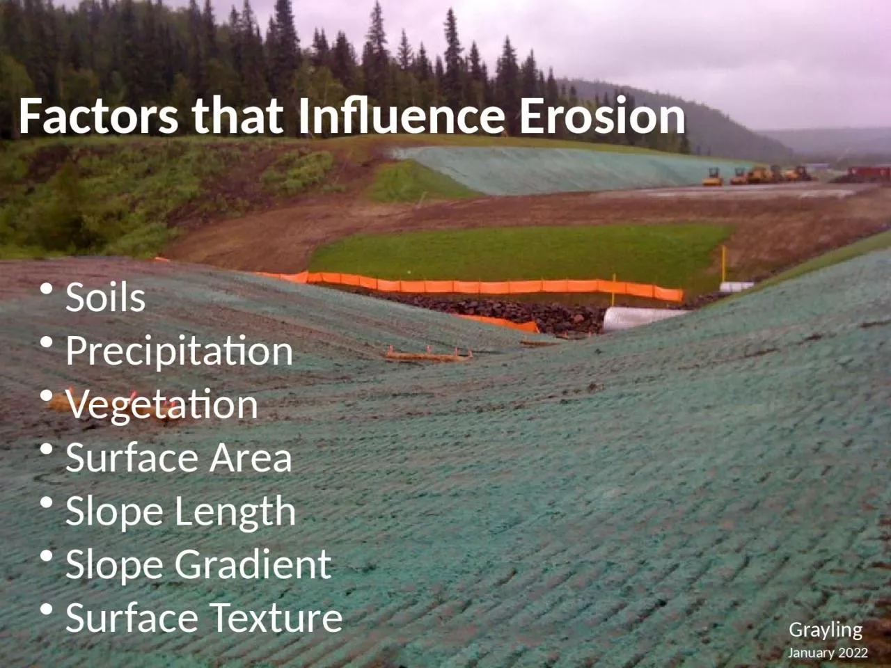
Soils Precipitation Vegetation Surface Area Slope Length Slope Gradient Surface Texture Grayling January 2022 3 Factors that Influence Erosion Goal of this section Be able to name the erosion factors ID: 1047173
Download Presentation The PPT/PDF document "Factors that Influence Erosion" is the property of its rightful owner. Permission is granted to download and print the materials on this web site for personal, non-commercial use only, and to display it on your personal computer provided you do not modify the materials and that you retain all copyright notices contained in the materials. By downloading content from our website, you accept the terms of this agreement.
1. Factors that Influence Erosion Soils Precipitation Vegetation Surface Area Slope Length Slope Gradient Surface TextureGraylingJanuary 2022
2. 3. Factors that Influence ErosionGoal of this section:Be able to name the erosion factors: Soils Climate Vegetation Slope length and gradient Surface area and texture
3. Most Sites Have Various SoilsHow Deep will you be Digging?How will the Soil Change?
4. Differing Soil TypesSandGravelLoamy sandClay LoamClayClay
5. Soil SurveysUSDA Soil Conservation ServiceNRCS
6. http://www.nrcs.usda.gov/wps/portal/nrcs/main/ak/soils/surveys.html
7. Most siteshave specificGeotechnicalreports and Bore Logs availableMy Next Job SiteWoeisme AcresThis reportindicates that 80% of thesoil is .01mmor smaller200 Sieve
8. Sandy SoilsErode & Settle Quickly
9. Clay SoilsLow Erosion Potential, but… Once Suspended it’s Very Difficult to Settle!
10. Organic Matter Root Zone Sub GradeGraphic by USDA, NRCSSoil Horizons
11. Erodibility Increasesas the % of Silt &Sand IncreasesErodibility Decreasesas the % of Clay& Organic MaterialIncreasesSoil Texture& Erodibility
12. Surface TextureTrack WalkingIncreases Roughness
13. Imprinting Slopes Increases Texture & Assists Vegetation
14.
15. Composition of a Compacted SoilNote the reduced air space in a compacted soil.BeforeAfter70%50%
16. Courtesy Dwayne Stenlund CPESC MNDOTSoil RippingReduces CompactionIncreases Infiltration
17. Thermal Degradation / Freeze Thaw ErosionFreezing & Thawing detaches soil particles and causes down-slope movementFrost loosened soil is more susceptible to erosion by rain and snowmeltEroded soil can become saturated with spring breakup resulting in mass movement
18.
19. Precipitation
20. Climate
21. Rainfallfactors thatinfluenceerosion
22. www.wrcc.dri.edu
23. Rainfall DataOn the Internethttps://xmacis.rcc-acis.org/SWPPPSourceMaterial
24.
25. Interior and Northern Alaskahttp://aprfc.arh.noaa.gov/general/probmax.html
26. 80% Probability of 1 Inch in July
27. BMP Designs & Standards are affected by Flow and Velocity 2yr 24 hr
28. Fairbanks Freeze / Thaw Probability
29. Rainfall Prediction for SWPPP
30. South Central Alaska2yr 24hrSource: NOAA1.5 to 6 inches
31. What are the Design Standards?What are the Performance Goals?2 yr 24hr
32. Preparation & PlanningIn any month
33. Anchorage Freeze / Thaw Probability
34. Rainfall Prediction for SWPPP
35. SE Alaska2yr 24hrSource: NOAA2 to 8 inches
36. What are the Design Standards?What are the Performance Goals?2 yr 24hr
37. Prepare for the InevitableJuneau Airport 2yr 24 hr = 2.5 inches
38. Juneau Freeze / Thaw Probability
39. Benefits of VegetationReduces Runoff Volume Reduces Flow VelocitySediment FiltrationEnergy AbsorptionPollution ReductionSoil Retention
40. Photo by USDA - NRCS
41. TreesShrubsMossDuffRoots
42. http://plants.alaska.gov/
43. TOPOGRAPHYDoubling the slope length increases erosion potential by 4 times.Doubling the slope gradient increases erosion potential by 5 times.Slope Length & Gradient
44. Surface AreaLarger bare areas contribute larger volumes& greater velocities of runoff
45.
46. Soil CharacterizationSlope Length& GradientSurface TextureVegetationPrecipitationBasin Area= Erosion LossesFactors that Influence Erosion
47. Revised Universal Soil Loss Equation (R.U.S.L.E.)A = R x K x LS x C x PA = Annual Rate of Erosion per unit areaR = Rainfall FactorK = Soil Erodibility FactorLS = Slope Angle & Length FactorC = Soil Cover FactorP = Conservation Practices Erosion Risk Calculation Tooldefault values for LS, C, P are all 1.0
48. R.U.S.L.E. Example: Focus on SlopeWhat is the Difference in Potential Soil Loss Between 20% & 60% Slopes?20% Slope (10 degrees, 4:1) 100’ length, LS = 4.560% Slope (30 degrees, 1 .5:1) 100’ length, LS = 9.460% 30 degrees20% 10 degrees
49. A = R x K x LS x C x PSLOPEA=R KLSCP20% 10 deg. 4:150 T/ac.40.28 (sandy loam)4.51.01.060% 30 deg. 1.5:1106 T/ac.40.289.41.01.0109% Increase in Soil LossNote: for straw mulch, “C” factor is 0.2- how will that affect soil loss?
50. Cover Factors CRECPs 0.10 – 0.25Straw Mulch (must stay) 0.18 – 0.24Good Hydromulch & Tack 0.1BFM 0.02Will vary with the soil typeHow long will the BMP last?
51. A = R x K x LS x C x PSLOPEA=R KLSCP20% 10 deg. 4:150 T/ac.40.28 (sandy loam)4.51.01.060% 30 deg. 1.5:121 T/ac.40.289.40.21.0Note: for straw mulch, “C” factor is 0.2- how will that affect soil loss?
52. LocationLocationLocation49
53. Erosion RiskAssessmentHow much risk does your site pose?Consider:Soil type- above and below the surfaceClimate- frequency, intensity, and duration of rainfallVegetationSurface AreaSlope Length & GradientSurface Texture