/
METEOROLOGICAL SERV METEOROLOGICAL SERV

METEOROLOGICAL SERV - PDF document

jocelyn
jocelyn . @jocelyn
Follow
342 views
Uploaded On 2022-08-21

METEOROLOGICAL SERV - PPT Presentation

ICE S DIVISION PIARCO Piarco International Airport FACSIMILE NO 1 868 669 4009 TELEPHONE NOS 868 669 54653964 EMAIL dirmetmetofficegovtt WEBSITE httpwwwmetofficegovtt DOWN ID: 939350

hurricane tropical cyclone winds tropical hurricane winds cyclone knots storm mph wind eye hurricanes area hours rain waters high

Share:

Link:

Embed:

Download Presentation from below link

Download Pdf The PPT/PDF document "METEOROLOGICAL SERV" is the property of its rightful owner. Permission is granted to download and print the materials on this web site for personal, non-commercial use only, and to display it on your personal computer provided you do not modify the materials and that you retain all copyright notices contained in the materials. By downloading content from our website, you accept the terms of this agreement.


Presentation Transcript

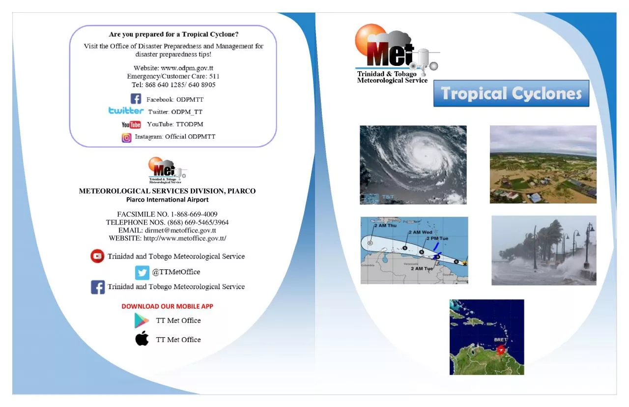
METEOROLOGICAL SERV ICE S DIVISION , PIARCO Piarco International Airport FACSIMILE NO. 1 - 868 - 669 - 4009 TELEPHONE NOS. (868) 669 - 5465/3964 EMAIL: dirmet@metoffice.gov.tt WEBSITE : http://www.metoffice.gov.tt/ DOWN LOAD OUR MOBILE APP Tropical Cyclones WATCHES AND WARNINGS A watch lets yo u know that weather conditions are favourable for a hazard to occur. It literally means "be on guard!" A warning requires immediate action. This means a weather hazard is imminent - it is either occurring or it is about to occur at any moment. Both watche s and warnings are important, but warnings are more urgent. Tropical Storm Watch - An announcement for a specific area that a tropical storm or an incipient tropical storm condition poses a possible threat within 48 hours. Tropical Storm Warning - A warnin g for tropical storm conditions, including possible sustain ed winds within the range 63 - 118 km/hr (39 - 73 mph) (34 - 63 knots) are expected in specified areas within 36 hours or less . Hurricane Watch - An announcement for a specific area that a hurricane or incipient hurricane condition poses a possible threat within 48 hours. Hurricane Warning - A warning that one or both of the following dangerous effects of a hurricane is expected in a specified area in 36 hours or less : • Average winds 119 km/hr (74mph) (64 knots) or higher; • Dangerously high water or a combination of dangerously high water and exceptionally high waves, even though winds expected may be less than hurricane force. Trinidad and Tobago Meteorological Service has responsibility for providing and i ssuing warnings to: (a) The islands and coasta l waters of Trinidad and Tobago. (b) The islands and coastal waters of Grenada and its dependencies (Carriacou and Petit Martinique). TROPICAL CYCLONE CLASSIFICATIONS HOW DO HURRICANES FORM ? Hurricanes form over warm tropical waters where there is abundant moisture and where winds are light. They start from some pre - existing disturbance and can develop further with favourable envi ronmental conditions. Hurricanes usually weaken when they hit land, because they no longer have access to the heat energy of the warm ocean ic waters. However, they often move far inland, dumping many inches of rain and causing lots of wind damage , b efore they di ssipate . Tropical Cyclone : A non - frontal cyclone of synoptic scale, developing over tropical or sub - tropical waters and having a definite organized surface circulation. In the Atlantic Basin (Atlantic Ocean, Caribbean Sea, Gulf - of - Mexico), the following are types of tropical cyclones: Tropical Depression : A tropical cyclone in which the maximum average surface wind (one - minute mean) is 62k m/hr (38 mph) (33knots) or less. Tropical Storm : A well - organized, warm core tropical cyclone in which the maximum average surface wind (one - min ute mean) is in the range 63 - 118 km/h (39 - 73 mph) (34 - 63 knots) inclusive. Hurricane : Warm core tropical cyclo ne in which maximum average surfa ce wind (one - minute mean) is 119 km/h (74 mph) (64 knots) or greater. A well - defined eye (the central area of relatively calm winds surrounded by wall clouds) may be associated with this tropical cyclone type. Post

- Tropica l Cyclone : A system that no longer possesses sufficient tropical characteristics to be considered a tropical cyclone. Post - tropical cyclones can still bring heavy rain and high winds. Potential Tropical Cyclone: A disturbance that is not yet a tropical c yclone, but which poses the threat of bringing tropical storm or hurricane conditions to land areas within 48 hours. Hurricane Season - The portion of the year having a high incidence of hurricanes/tropical storms. In the Atlantic, Caribbean and Gulf of M exico (the Atlantic Basin), it is the period from June 01 to Nove mber 30, with the peak occurring between mid - August and late October; In the western North Pacific, hurricanes are called typhoons; similar storms in the Indian Ocean and South Pacific Ocean are called cyclones. HURRICANE HAZARDS WINDS – �119 km/hr (74mph) – these strong winds can destroy buildings and homes; can uproot and carry trees and other debris through the air; responsible for destroying power lines, etc. that can cause ma ssive disruption. HEAVY RAINS/FLOODS – widespread torrential rains often � 6 inches can produce deadly and destructive floods; floods at this magnitude pose major threats to areas inland and can destroy agriculture, livestock and infrastructure. STORM SU RGE – a large dome of water often 80 to 160 km wide that sweeps across a coastline where a hurricane makes landfall. Along the immediate coast, storm surge is the greatest threat to life and property. HURRICANE CATEGORIES Hurricanes are cla ssified based on the Saffir - Simpson h urricane wind scale (SSHWS) into five (5) categories. These categories are distinguished by the intensities of their sustained winds. A Major Hurricane is a tropical cyclone with maximum sustained winds of 111 mph (96 knots) or higher, corresponding to a Category 3, 4 or 5 on the Saffir - Simpson Hurricane Wind Scale. THE STRUCTURE OF HURRICANES The main parts of a hurricane are, the Eye , the Eyewall and the Rainbands. Air spirals in toward the center in a counter - clockwise pattern, and out the top in the opposite direction. In the very center of the storm, air sinks, forming the cloud - free eye. The Eye , the hurric ane's centre, is a relatively calm area usually 32 - 64km across. Within the eye, winds are light and skies are clear to partly cloudy. The Eyewall is the most destructive part of a hurricane. It is a dense wall of thunderstorms surrounding the eye and has the strongest winds and heaviest rains within the hurricane. When the eye passes over an area, the winds reverse and very strong winds come from the opposite direction , well over 118km/hr. Rain bands are dense bands of thunderstorms which spiral slowly co unterclockwise outward from the hurricane’s centre. Heavy bursts of rain and wind are usually associated with rain bands. These structures form the outer most fringes of the tropical cyclone structure, and the winds contained within the bands decrease outward from the eye wall. They can be several kilometer s wide, 80 to 480 km long . Saffir - Simpson Hurricane Wind Scale (SSHWS) Category Wind speeds One 64 – 82 knots 74 – 95 mph, 119 – 153 km/h Two 83 – 95 knots 96 – 110 mph, 154 – 177 km/h Three 96 – 112 knots 111 – 129 mph, 178 – 208 km/h Four 113 – 136 knots 130 – 156 mph, 20 9 – 251 km/h Five ≥137 knots ≥157 mph, ≥252 km/