/
BROWNFIELDS PROGRAMPROJECT FACT SHEET BROWNFIELDS PROGRAMPROJECT FACT SHEET

BROWNFIELDS PROGRAMPROJECT FACT SHEET - PDF document

nicole
nicole . @nicole
Follow
342 views
Uploaded On 2022-08-16

BROWNFIELDS PROGRAMPROJECT FACT SHEET - PPT Presentation

DoddBealsFire AcademyReno Washoe County 
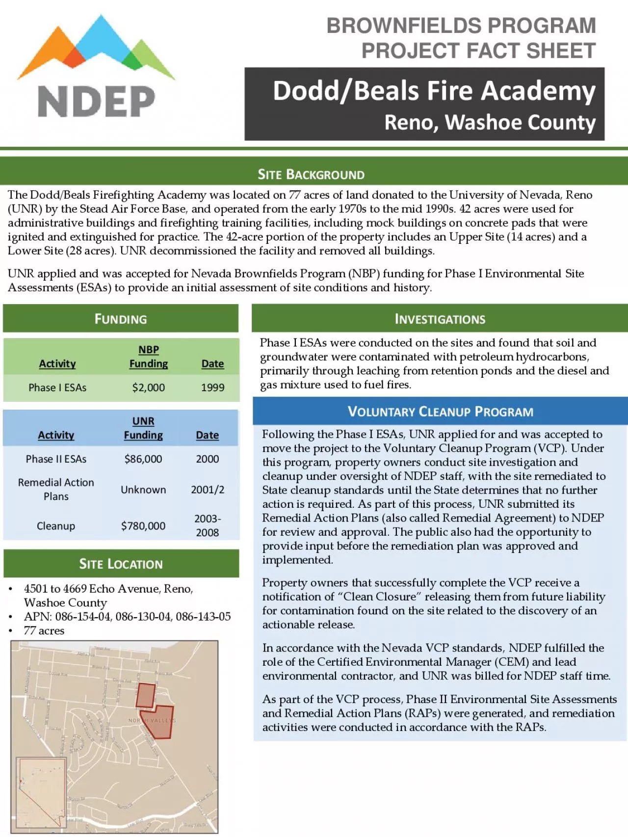
ITEOCATION4501 to 4669 Echo Avenue Reno Washoe CountyAPN 08604 08604 086 The DoddBealsFirefighting Academy was located on 77 acres of land donated to th ID: 937445

groundwater site unr soil site groundwater soil unr remediation upper petroleum esas remedial cleanup program action vcp sites phase

Share:

Link:

Embed:

Download Presentation from below link

Download Pdf The PPT/PDF document "BROWNFIELDS PROGRAMPROJECT FACT SHEET" is the property of its rightful owner. Permission is granted to download and print the materials on this web site for personal, non-commercial use only, and to display it on your personal computer provided you do not modify the materials and that you retain all copyright notices contained in the materials. By downloading content from our website, you accept the terms of this agreement.


Presentation Transcript

BROWNFIELDS PROGRAMPROJECT FACT SHEET Dodd/BealsFire AcademyReno, Washoe County ITEOCATION4501 to 4669 Echo Avenue, Reno, Washoe CountyAPN: 08604, 08604, 086 The Dodd/BealsFirefighting Academy was located on 77 acres of land donated to the University of Nevada, Reno (UNR) by the Stead Air Force Base, and operated from the early 1970s to the mid 1990s. 42 acres were used for administrative buildings and firefighting training facilities, including mock buildings on concrete pads that were ignited and extinguished for practice. The 42 Activity Date Phase I ESAs$2,000Following the Phase I ESAs, UNR applied for and was accepted to move the project to the Voluntary Cleanup Program (VCP). Under this program, property owners conduct site investigation and cleanup under oversight of NDEP staff, with the site remediated to I OLUNTARYLEANUPROGRAMPhase I ESAs were conducted on the sites and found that soil and groundwater were contaminated with petroleum hydrocarbons, primarily through leaching from retention ponds and the diesel and gas mixture used to fuel fires. Activity Date Phase II ESAs$86,000Remedial Action PlansUnknown2001/2Cleanup$780,000 UNDING To learn more about the Nevada Brownfields Program, visit: https:// ndep.nv.gov/environmentalcleanup/brownfields ESOURCES VCP CLEANUPCTIVITIESCost to UNR: Unknown As part of UNR’s involvement with the State’s VCP, NDEP reviewed all remediation activities and results and verified they met all established, sitespecific remediation goals.Lower SiteIn mid2005, the excavation of petroleum hydrocarbon impacted soils along with confirmation sampling of excavation walls and bottoms was undertaken as part of the Remedial Action Plan. Excavated soils were stockpiled and subject to bioremediation on site. Soil and groundwater sampling and monitoring took place from January 2000 until February 2007, at which time the State recognized that remediation goals had been met for the lower site and no further action was necessary. A Certificate of Completion for the Voluntary Cleanup Program was issued for the lower site in October 2007.. Upper SiteAn AS/VE system was installed to remediate benzene concentrations and was in place from 2003 until 2008. After the AS/VE system was removed, one year of quarterly monitoring was conducted to ensure limited reboun

d of benzene concentrations. Groundwater at the upper site was monitored quarterly from late 2002 until December 2008. Soil contamination remains in place, but the sources of contaminant loading to groundwater were addressed through vapor extraction. A Certificate of Completion of the Voluntary Cleanup Program was issued for the upper site in June 2009. VCP INVESTIGATIONS Phase II Environmental Site Assessments Cost to UNR: $86,000Phase II ESAs were conducted to analyze soil and groundwater. As part of this analysis, 52 test trench locations were chosen based on their proximity to known petroleum usage. The locations were excavated and soil samples were collected and analyzed. Groundwater wells were also installed, and groundwater analyzed. This data was used to inform the Remedial Action Plans (RAPs). Remedial Action Plans Cost to UNR: UnknownRAPS were prepared for both the Upper Site and the Lower Site. The objectives of the RAPs were to develop remedial strategies to (1) mitigate risks to human health and the environment from the petroleum hydrocarbon soil contamination, and (2) evaluate dissolved petroleum product constituents in groundwater relative to potential impacts to the environment. The RAPs for the sites used a riskbased cleanup approach to target areas of particular concern to human health or the environment based on factors like the mobility and toxicity of the contaminants, the proposed use of the site, and the physical properties of the soil and groundwater. The recommended remedial approaches for the sites are summarized as follows: Lower Site Soil Remediation : Soils exceeding 1200 mg/kg total petroleum hydrocarbon (TPH) concentrations within the identified areas (appox. 11,000 cubic yards) excavated up to 8 feet in depth and treated. Groundwater Remediation : Natural attenuation for benzene and MTBE groundwater plume. Upper Site Soil Remediation : Install and operate vacuum extraction (VE) system for 12 18 months in the areas exceeding 1000 mg/kg TPH. Groundwater Remediation : Install an insitu VE and air sparging(AS) system for approximately 18 months. URRENTTATUSThe lower site was remediated consistent with unrestricted industrial or commercial use. The upper site was remediated consistent with residential use. The sites remain undeveloped and under UNR ownership.