Explore
Featured
Recent
Articles
Topics
Login
Upload
Featured
Recent
Articles
Topics
Login
Upload
Search Results for 'Http-Usgs'
Http-Usgs published presentations and documents on DocSlides.
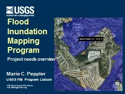
Marie C. Peppler USGS FIM Program Liaison
by mentegor
Flood . Inundation . Mapping. Program. Project nee...
Welcome to the USGS Webinar:
by liane-varnes
New Science and Online Management Tools to Help G...
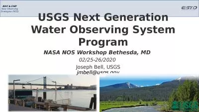
USGS Next Generation Water Observing System Program
by valerie
NASA NOS Workshop Bethesda, MD . 02/25-26/2020 . J...
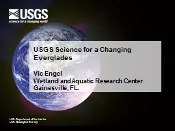
USGS Science for a Changing Everglades
by bikersnomercy
Vic Engel. Wetland and Aquatic Research . Center. ...
2/21/2013 2013 USGS NSHMP CA Workshop II
by gristlydell
1. UCERF3.2: . Hazard Implications. Hazard . compa...
USGS Training and Special Projects
by alida-meadow
Training: 3 Annual technical training courses hel...
Marie C. Peppler USGS FIM
by liane-varnes
Coordinator. Flood . Inundation . Mapping. Progra...
USGS ACTIVITY:
by pasty-toler
Estimating . . suspended-sediment. load continuo...
Analysis of Remote Sensing Data for Tornado Damage Assessment
by ellena-manuel
Presented by: Justin Novak. Advisor: Guido Cerv...
Hydrologic Measurement
by mitsue-stanley
Precipitation. Evaporation. Streamflow. Channel ....
Hydrologic Measurement Precipitation
by ida
Evaporation. Streamflow. Channel . Properties. Top...
Spatial Assessments of Harmful Algal Blooms on Milford Lake
by briana-ranney
Guy M. Foster, Lindsey R. King, and Jennifer L. G...
Introduction to ArcGIS Planetary Data Analysis
by min-jolicoeur
Peter Fawdon. Department of Earth and Planetary S...
Dune Stabilization and WIND-Blown dust
by pasty-toler
Cristina González-Maddux. Institute for Tribal E...
Introduction to High Throughput Computing
by yoshiko-marsland
Luke Winslow. OWI a-la-carte. Overview. What is P...
A Database and Working Group for Cascadia Earthquake Research:
by jovita
Synthesizing Existing Knowledge to Answer Outstand...
Tom Weaver Eastern Hydrologic Data Chief
by brianna
Upper Midwest Water Science Center. . U.S. Geolo...
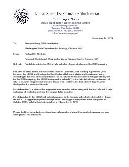
Keunyea Song
by eliza
November 14 , 20 1 9 To: , SAM coordinator Wash...
Volcanoes : What is Volcanic Activity?
by genesantander
1. An opening in Earth’s crust through which mol...
OTT ADC Acoustic Digital Current Meter: Description of meter and Results of USGS testing
by kittie-lecroy
OTT ADC Acoustic Digital Current Meter: Desc...
USGS Headquarters Update
by danika-pritchard
Tim Newman. Program Coordinator. Land Remote Sens...
OTT ADC Acoustic Digital Current Meter: Description of meter and Results of USGS testing
by myesha-ticknor
Dan Wagner. Hydrologist . Arkansas Water Scie...
GOES DCS Status and Information
by conchita-marotz
Dan Schwitalla – . ddschwit@usgs.gov. 2009 111....
Status of GOES Emergency Data
by pasty-toler
Distribution. Network(EDDN). at EROS. Dan Schwita...
Hired 959 New Employees
by cheryl-pisano
Processed 27,233 personnel actions (SF-50’s). P...
USGS Kentucky Water Science Center
by pamella-moone
Potential . CHIA. application for . WATER. (. W....
Stormwater
by yoshiko-marsland
Management . in . Chicago waterways: . Basement ...
Oxygenisotopesofphosphaticcompounds
by conchita-marotz
*Correspondingauthor.Tel.:+19495028173;fax:+165072...
Streamgage Datum Conversion
by pasty-toler
Great Lakes Region Height Modernization Consortiu...
GOES DCS Status and Information
by faustina-dinatale
Dan Schwitalla – . ddschwit@usgs.gov. 2009 111....
Status of GOES
by ellena-manuel
Emergency Data . Distribution. Network(EDDN). at ...
High Accuracy Helicopter Lidar & Mapping
by natalia-silvester
Jeffrey B. Stroub, CP,RLS,PPS,SP. Vice President ...
The Honey Bee
by conchita-marotz
There are 3 types, or castes, of honey bees.. Que...
Marie C. Peppler
by faustina-dinatale
USGS FIM Program Liaison. Flood . Inundation . Ma...
Water-level monitoring and a groundwater model in the
by tatyana-admore
Big Wood River Valley. Presented by Mike McVay No...
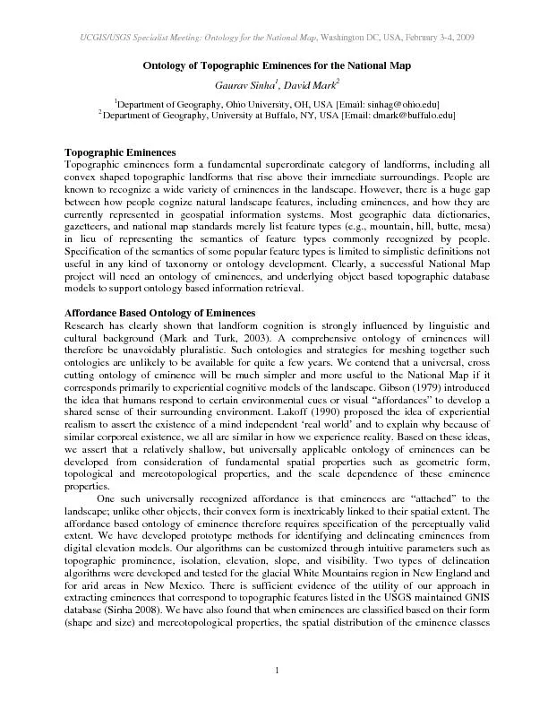
UCGIS/USGS Specialist Meeting: Ontology for the National Map, Washingt
by kittie-lecroy
UCGIS/USGS Specialist Meeting: Ontology for the Na...
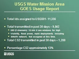
USGS Water Mission Area
by stefany-barnette
GOES Usage Report. Total Ids assigned to USGS01- ...
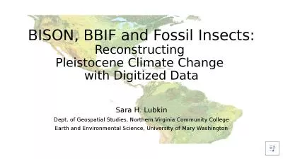
BISON, BBIF and Fossil Insects:
by danya
Reconstructing . Pleistocene Climate Change . with...
U.S. Department of the Interior
by della
making it easy for emergency mangers to identify p...
Iskorištavanje voda Raspodijela stanovništva i zaliha vode
by undialto
Voda se koristi za:. Kupanje. WC. . Čišćenje....
Load More...