Canadian Geography Curricular Competencies Interpret information and date in a variety of maps, graphs, and tables Construct graphs, tables, and maps to communicate ideas and information, demonstrating appropriate use of grids, scales,
"Canadian Geography Curricular Competencies" is the property of its rightful owner. Permission is granted to
download and print the materials on this website for personal, non-commercial use only, and to display it
on your personal computer provided you do not modify the materials and that you retain all copyright
notices contained in the materials. By downloading content from our website, you accept the terms of this
agreement.
Presentation Transcript
01
Canadian Geography<br>
02
Curricular Competencies Interpret information and date in a variety of maps, graphs, and tables
Construct graphs, tables, and maps to communicate ideas and information, demonstrating appropriate use of grids, scales, legends, and contours.<br>
03
Curricular Content Connections between Canada’s natural resources and major economic activities<br>
04
Key Questions What effect has the physical geography of Canada had on Canadian and regional identity?
What perspectives do different groups (e.g. environmental groups, people employed in the forest industry, First Peoples, urban and rural populations? Have on the use of natural resources?<br>
05
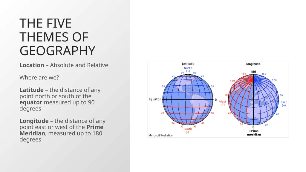
The Five Themes of Geography Location – Absolute and Relative
Where are we?
Latitude – the distance of any point north or south of the equator measured up to 90 degrees
Longitude – the distance of any point east or west of the Prime Meridian, measured up to 180 degrees<br>
06
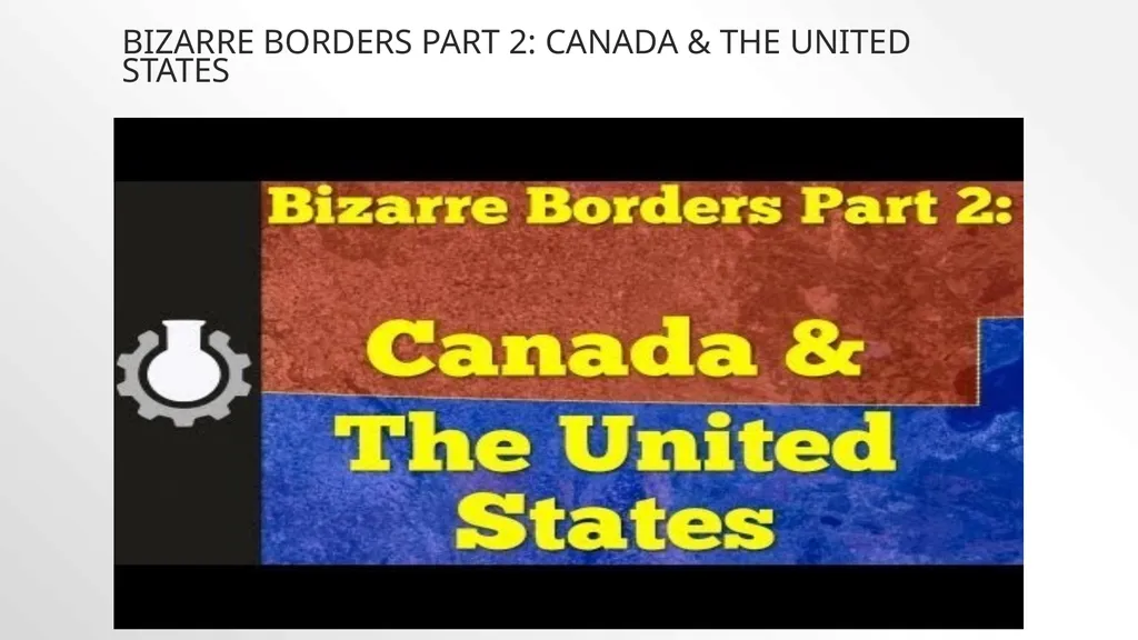
Bizarre Borders Part 2: Canada & The United States<br>
07
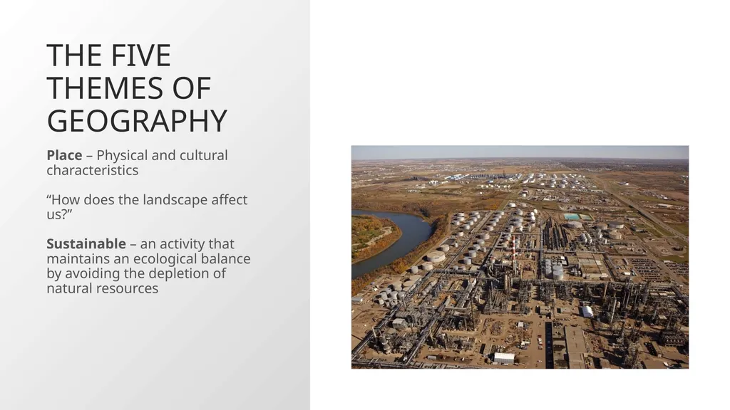
The Five Themes of Geography Place – Physical and cultural characteristics
“How does the landscape affect us?”
Sustainable – an activity that maintains an ecological balance by avoiding the depletion of natural resources<br>
08
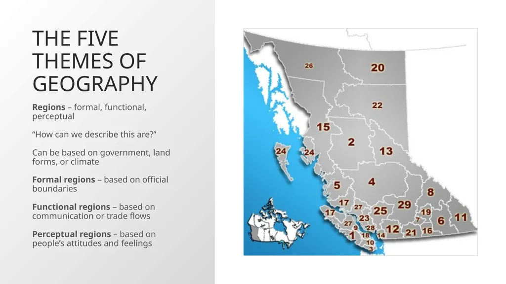
The Five Themes of Geography Regions – formal, functional, perceptual
“How can we describe this are?”
Can be based on government, land forms, or climate
Formal regions – based on official boundaries
Functional regions – based on communication or trade flows
Perceptual regions – based on people’s attitudes and feelings<br>
09
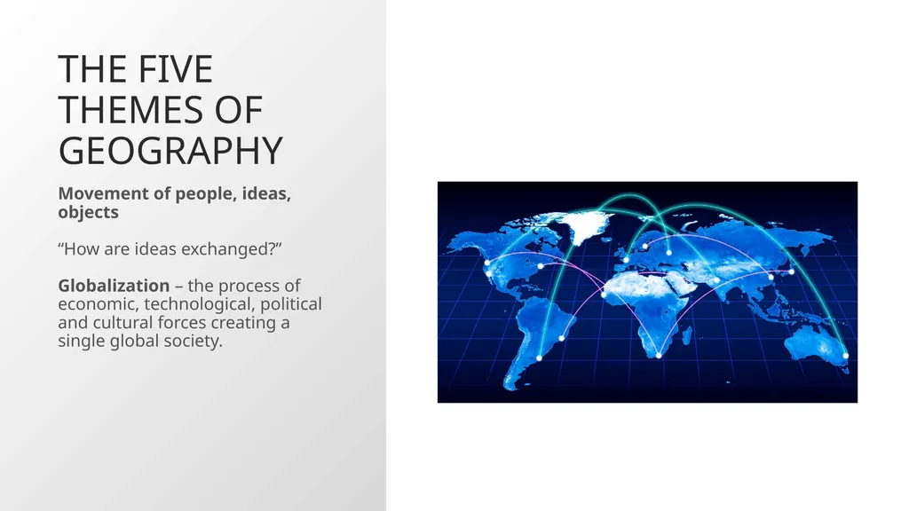
The Five Themes of Geography Movement of people, ideas, objects
“How are ideas exchanged?”
Globalization – the process of economic, technological, political and cultural forces creating a single global society.<br>
10
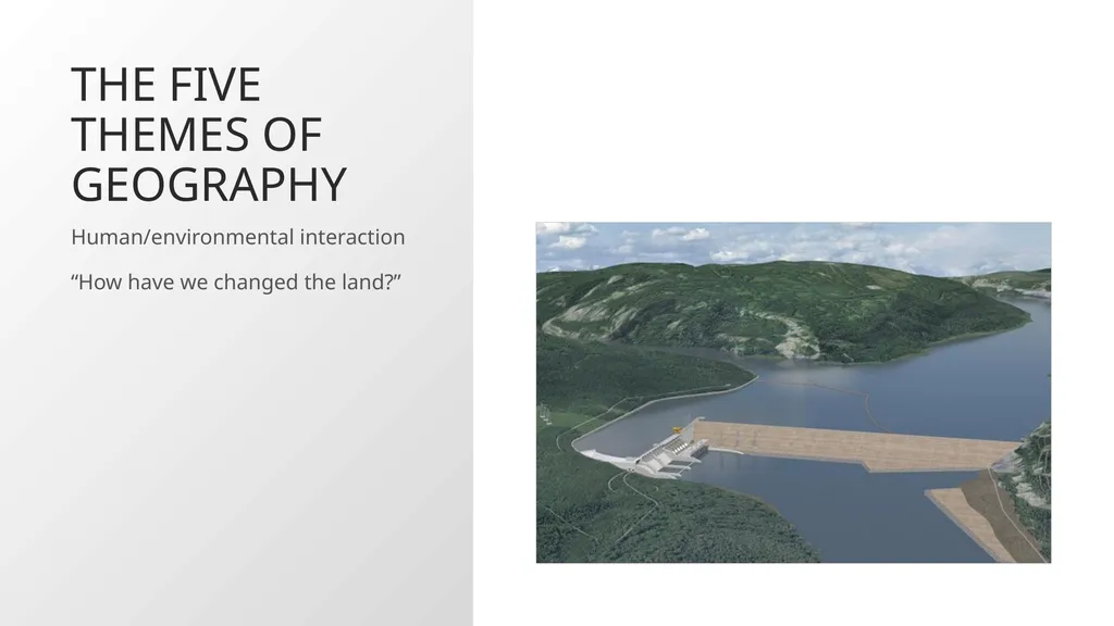
The Five Themes of Geography Human/environmental interaction
“How have we changed the land?”<br>
11
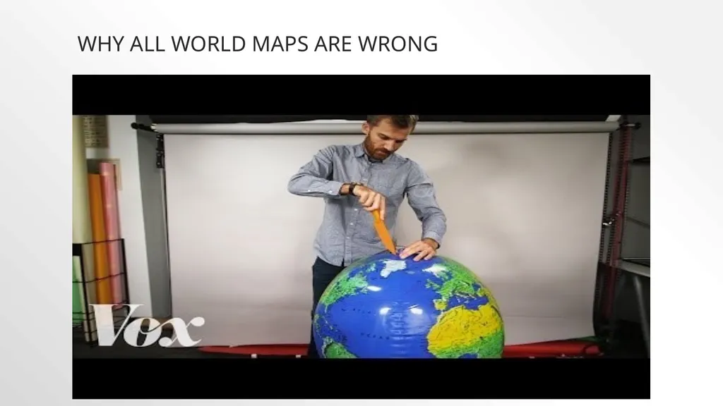
Why all world maps are wrong<br>
12
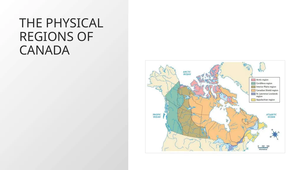
The Physical Regions of Canada<br>
13
How North America got its shape<br>
14
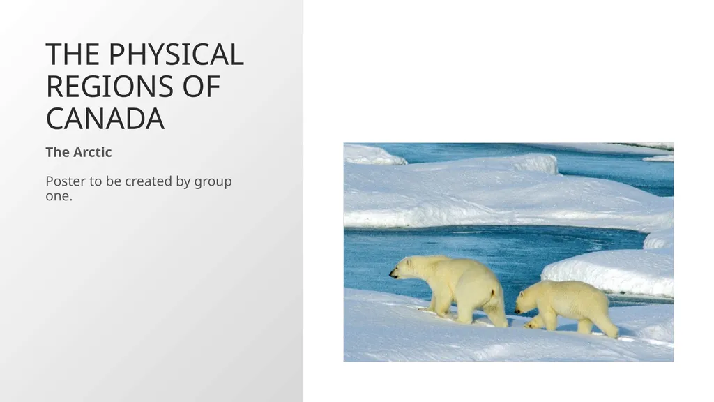
The Physical Regions of Canada The Arctic
Poster to be created by group one.<br>
15
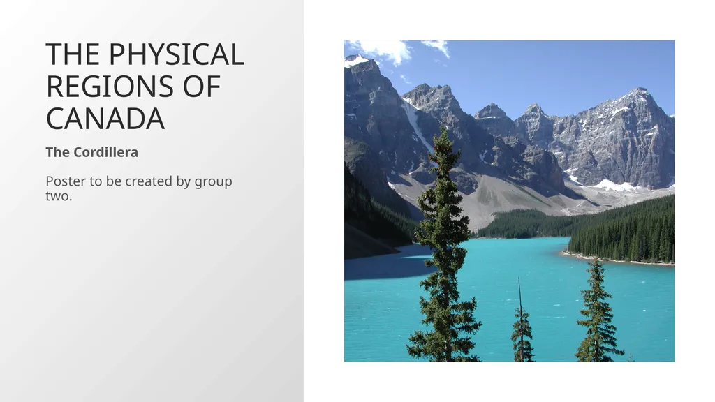
The Physical Regions of Canada The Cordillera
Poster to be created by group two.<br>
16
The Physical Regions of Canada The Interior Plains
Poster to be created by group three.<br>
17
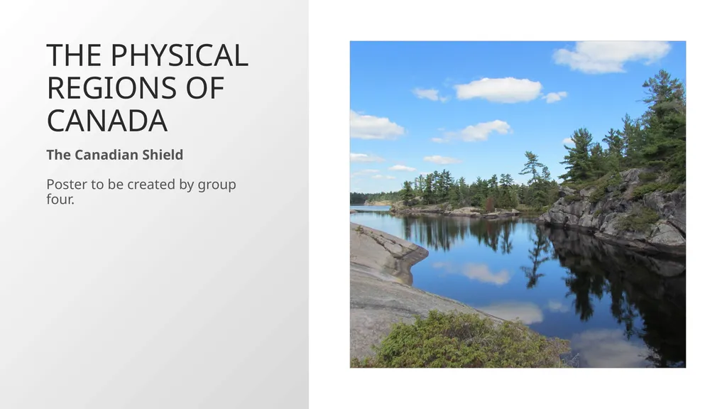
The Physical Regions of Canada The Canadian Shield
Poster to be created by group four.<br>
18
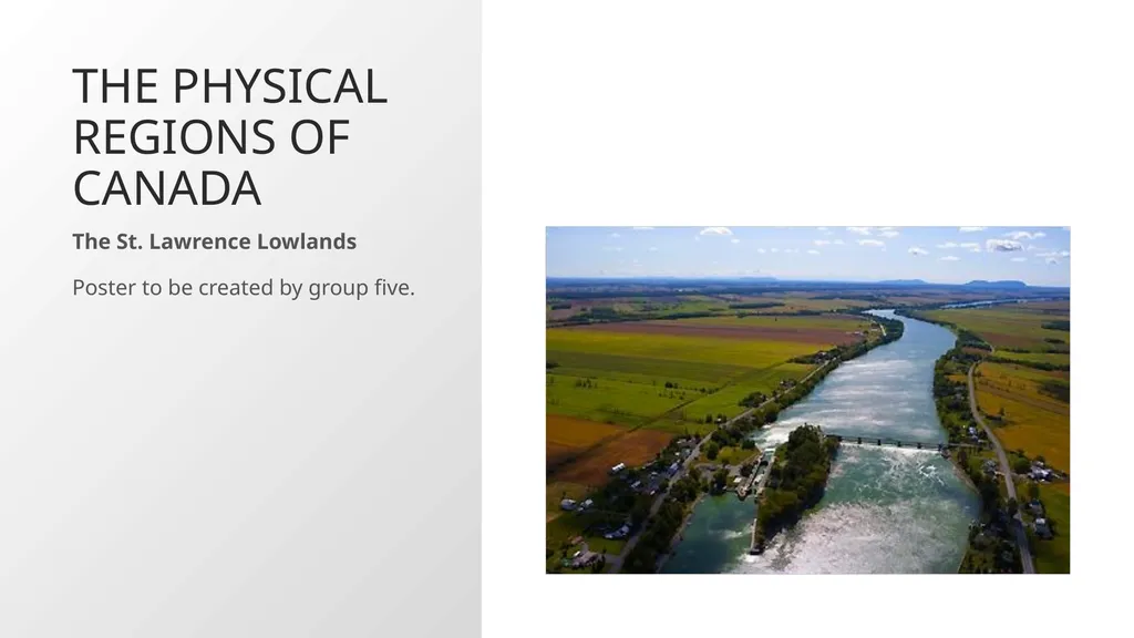
The Physical Regions of Canada The St. Lawrence Lowlands
Poster to be created by group five.<br>
19
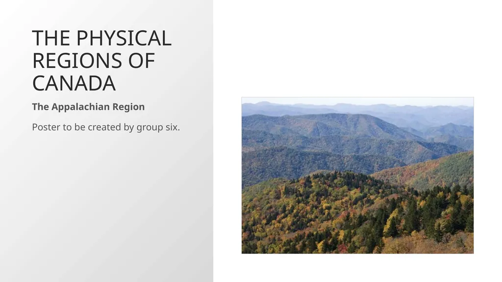
The Physical Regions of Canada The Appalachian Region
Poster to be created by group six.<br>
20
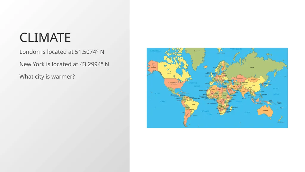
Climate London is located at 51.5074° N
New York is located at 43.2994° N
What city is warmer?<br>
21
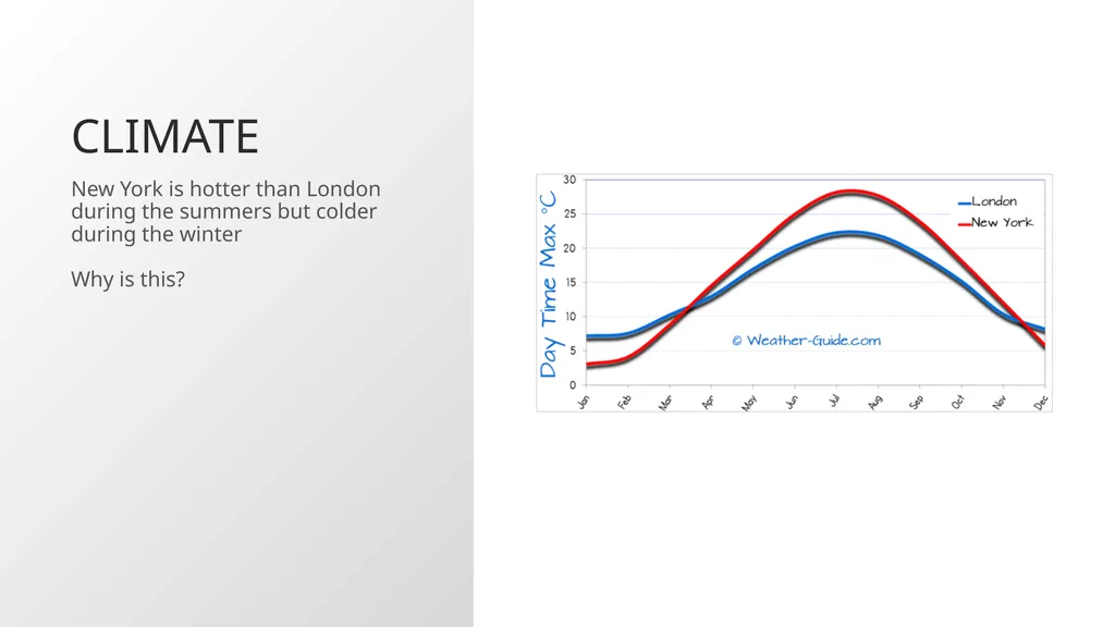
Climate New York is hotter than London during the summers but colder during the winter
Why is this?<br>
22
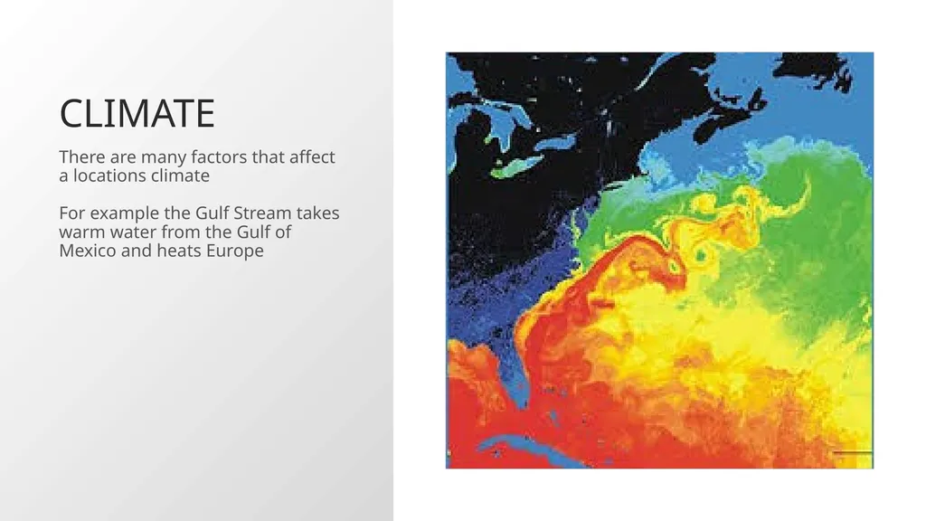
Climate There are many factors that affect a locations climate
For example the Gulf Stream takes warm water from the Gulf of Mexico and heats Europe<br>
23
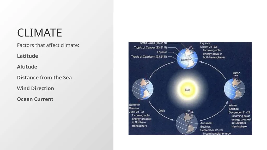
Climate Factors that affect climate:
Latitude
Altitude
Distance from the Sea
Wind Direction
Ocean Current<br>
24
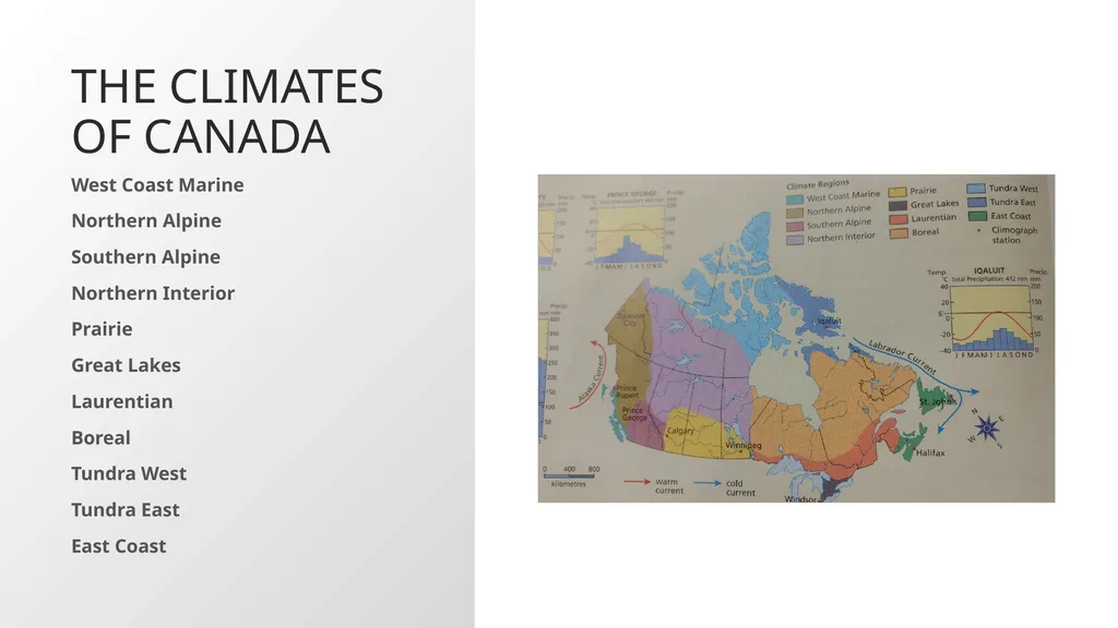
The Climates of Canada West Coast Marine
Northern Alpine
Southern Alpine
Northern Interior
Prairie
Great Lakes
Laurentian
Boreal
Tundra West
Tundra East
East Coast<br>
25
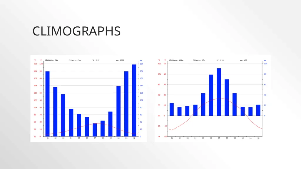
Climographs<br>
26
Climate Change 101 with Bill Nye | National Geographic<br>